 Mount Vernon
Bluffton
Dripping Springs
West Salem
Clackamas
Oregon City
Washougal
Englewood
Junction City
Meridian
Bessemer
Philadelphia
Andalusia
Buffalo Grove
Huntsville
Demopolis
Choudrant
Washington
Tucker
Mount Vernon
Bluffton
Dripping Springs
West Salem
Clackamas
Oregon City
Washougal
Englewood
Junction City
Meridian
Bessemer
Philadelphia
Andalusia
Buffalo Grove
Huntsville
Demopolis
Choudrant
Washington
Tucker
Bradenton on the map, United States
Where is located Bradenton
Exact location — Bradenton, Manatee County, Florida, United States, marked on the map with a red marker.
Coordinates
Bradenton, United States coordinates in decimal format: latitude — 27.4989278, longitude — -82.5748194. When converted to degrees, minutes, seconds Bradenton has the following coordinates: 27°29′56.14 north latitude and -82°34′29.35 east longitude.
Population
Bradenton, Manatee County, Florida, United States, according to our data the population is — 54,608 residents, which is about 0% of the total population of the country (United States).
Comparison of the population on the graph:
Exact time
Time zone for this location Bradenton — UTC -4 America/New_York. Exact time — wednesday, 4 april 2024 year, 18 h. 37 minutes.
Sunrise and sunset
Bradenton, sunrise and sunset data for a date — wednesday 24.04.2024.
| Sunrise | Sunset | Day (duration) |
|---|---|---|
| 06:59 -0 minutes | 19:57 -0 minutes | 13 h. 0 minutes. -0 minutes |
You can control the scale of the map using the auxiliary tools to find out exactly where it is located Bradenton. When you change the scale of the map, the width of the ruler also changes (in kilometers and miles).
Nearby cities
The largest cities that are located nearby:
- Saint Petersburg — 31 km
- Tampa — 51 km
- Clearwater — 56 km
- Brandon — 56 km
- Cape Coral — 121 km
- Orlando — 163 km
- Port Saint Lucie — 219 km
- Gainesville — 239 km
- Coral Springs — 266 km
- Pembroke Pines — 280 km
- Miramar — 281 km
- Fort Lauderdale — 286 km
- Hollywood — 292 km
- Hialeah — 292 km
- Miami — 305 km
- Jacksonville — 325 km
- Tallahassee — 363 km
- Havana
 (Cuba) — 481 km
 - Matanzas (Cuba) — 505 km
Distance to neighboring capitals:
- Belmopan
 (Belize) — 1305 km
 - Guatemala City
 (Guatemala) — 1653 km
 - Mexico City
 (Mexico) — 1910 km
 - Ottawa
 (Canada) — 2084 km
 - Nuuk
 (Greenland) — 4631 km
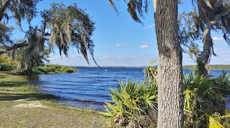
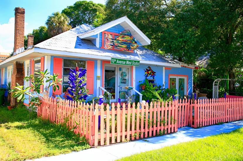
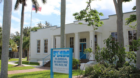
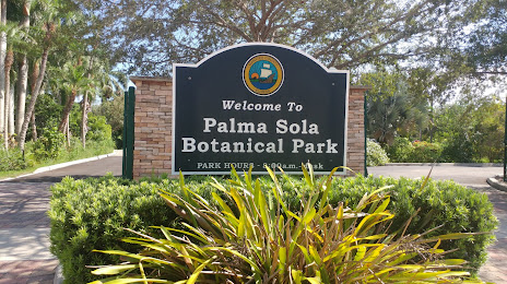
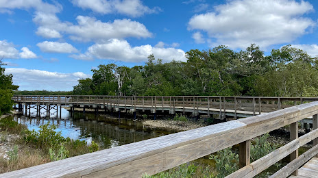
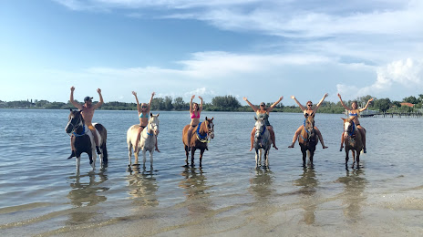
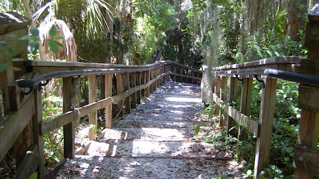
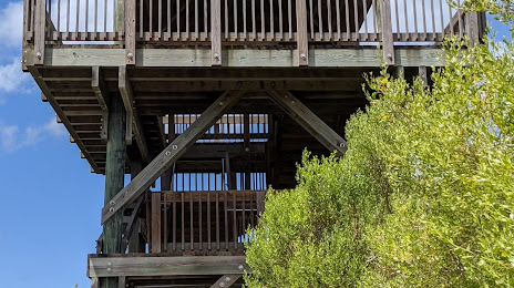
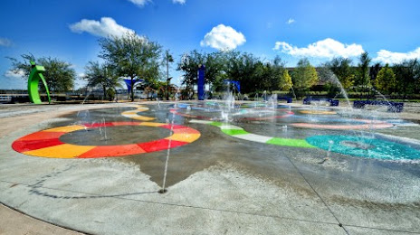
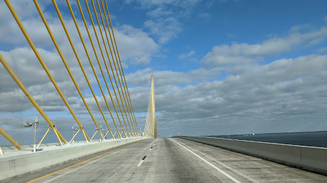
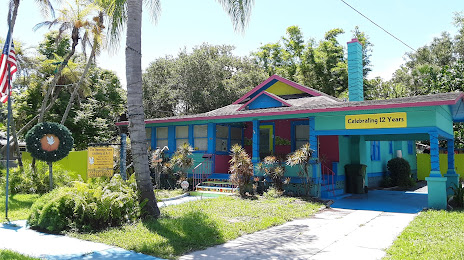
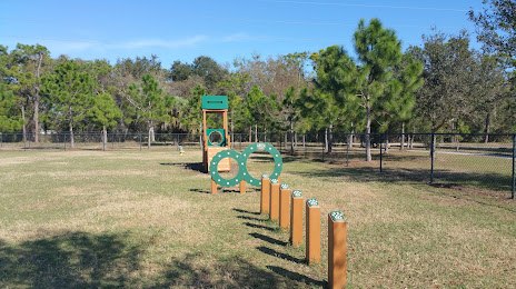
Attractions


Distance to the capital
Distance to the capital (Washington) is about — 1369 km.