 Bluffton
Dripping Springs
West Salem
Clackamas
Oregon City
Washougal
Englewood
Junction City
Wilsonville
Pelham
Meridian
Bessemer
Philadelphia
Andalusia
Buffalo Grove
Huntsville
Demopolis
Choudrant
Washington
Bluffton
Dripping Springs
West Salem
Clackamas
Oregon City
Washougal
Englewood
Junction City
Wilsonville
Pelham
Meridian
Bessemer
Philadelphia
Andalusia
Buffalo Grove
Huntsville
Demopolis
Choudrant
Washington
Youngstown on the map, United States
Where is located Youngstown
Exact location — Youngstown, Mahoning County, Ohio, United States, marked on the map with a red marker.
Coordinates
Youngstown, United States coordinates in decimal format: latitude — 41.0997803, longitude — -80.6495194. When converted to degrees, minutes, seconds Youngstown has the following coordinates: 41°5′59.21 north latitude and -80°38′58.27 east longitude.
Population
Youngstown, Mahoning County, Ohio, United States, according to our data the population is — 77,540 residents, which is about 0% of the total population of the country (United States).
Comparison of the population on the graph:
Exact time
Time zone for this location Youngstown — UTC -4 America/New_York. Exact time — wednesday, 4 april 2024 year, 00 h. 51 minute.
Sunrise and sunset
Youngstown, sunrise and sunset data for a date — wednesday 24.04.2024.
| Sunrise | Sunset | Day (duration) |
|---|---|---|
| 06:31 -2 minutes | 20:09 +1 minute | 13 h. 36 minutes. +3 minutes |
You can control the scale of the map using the auxiliary tools to find out exactly where it is located Youngstown. When you change the scale of the map, the width of the ruler also changes (in kilometers and miles).
Nearby cities
The largest cities that are located nearby:
- Aurora — 63 km
- Akron — 72 km
- Pittsburgh — 91 km
- Cleveland — 97 km
- London
 (Canada) — 214 km
 - Boston — 230 km
- Columbus — 236 km
- Windsor (Canada) — 237 km
- Detroit — 239 km
- Buffalo — 244 km
- Hamilton (Canada) — 246 km
- Toledo — 248 km
- Warren — 248 km
- Cambridge (Canada) — 252 km
- Sterling Heights — 254 km
- Saint Catharines (Canada) — 254 km
- Burlington (Canada) — 255 km
- Kitchener (Canada) — 256 km
- Amherst — 256 km
Distance to neighboring capitals:
- Ottawa (Canada) — 626 km
- Belmopan
 (Belize) — 2764 km
 - Mexico City
 (Mexico) — 2979 km
 - Guatemala City
 (Guatemala) — 3097 km
 - Nuuk
 (Greenland) — 3166 km
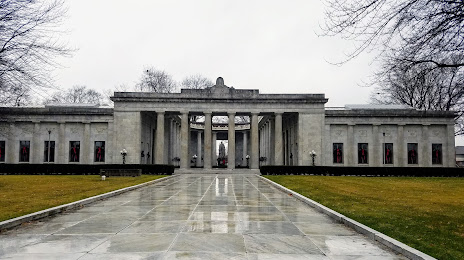
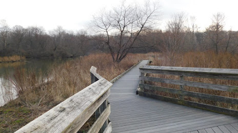
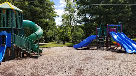
Attractions


Distance to the capital
Distance to the capital (Washington) is about — 393 km.