 Junction City
Wilsonville
Redmond
Lakehead
Winter Park
Kissimmee
Fitzgerald
Hagerstown
Ripley Airport
Big Sky
Conley
Livingston
East Peoria
Hazelwood
Corvallis
Decatur
Pelham
Meridian
Bessemer
Junction City
Wilsonville
Redmond
Lakehead
Winter Park
Kissimmee
Fitzgerald
Hagerstown
Ripley Airport
Big Sky
Conley
Livingston
East Peoria
Hazelwood
Corvallis
Decatur
Pelham
Meridian
Bessemer
Vancouver on the map, United States
Where is located Vancouver
Exact location — Vancouver, Clark County, Washington, United States, marked on the map with a red marker.
Coordinates
Vancouver, United States coordinates in decimal format: latitude — 45.6387281, longitude — -122.6614861. When converted to degrees, minutes, seconds Vancouver has the following coordinates: 45°38′19.42 north latitude and -122°39′41.35 east longitude.
Population
Vancouver, Clark County, Washington, United States, according to our data the population is — 157,517 residents, which is about 0% of the total population of the country (United States).
Comparison of the population on the graph:
Exact time
Time zone for this location Vancouver — UTC -7 America/Los_Angeles. Exact time — thursday, 4 april 2024 year, 00 h. 05 minutes.
Sunrise and sunset
Vancouver, sunrise and sunset data for a date — thursday 25.04.2024.
| Sunrise | Sunset | Day (duration) |
|---|---|---|
| 06:09 -2 minutes | 20:07 +2 minutes | 14 h. 0 minutes. +4 minutes |
You can control the scale of the map using the auxiliary tools to find out exactly where it is located Vancouver. When you change the scale of the map, the width of the ruler also changes (in kilometers and miles).
Nearby cities
The largest cities that are located nearby:
- Portland — 13 km
- Salem — 82 km
- Eugene — 179 km
- Tacoma — 179 km
- Seattle — 219 km
- Bellevue — 221 km
- Victoria
 (Canada) — 313 km
 - Abbotsford (Canada) — 378 km
- Delta (Canada) — 383 km
- Richmond (Canada) — 392 km
- Surrey (Canada) — 392 km
- Burnaby (Canada) — 402 km
- Coquitlam (Canada) — 403 km
- Anmore (Canada) — 407 km
- Spokane — 449 km
- Kelowna (Canada) — 521 km
- Boise — 562 km
- Reno — 718 km
- Roseville — 771 km
Distance to neighboring capitals:
- Ottawa (Canada) — 3606 km
- Mexico City
 (Mexico) — 3627 km
 - Belmopan
 (Belize) — 4447 km
 - Guatemala City
 (Guatemala) — 4574 km
 - Nuuk
 (Greenland) — 4672 km
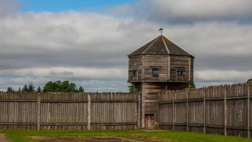
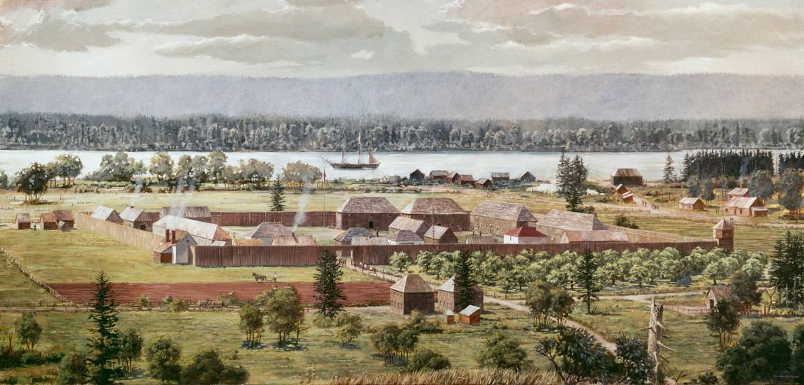
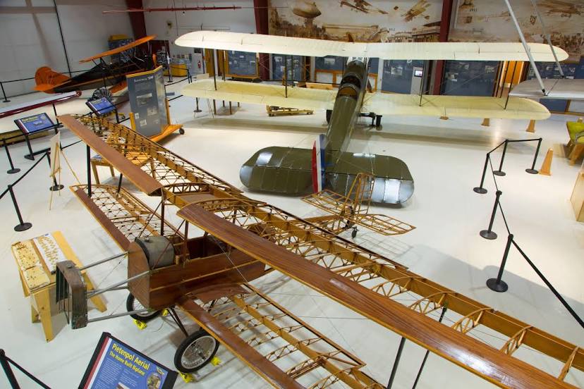
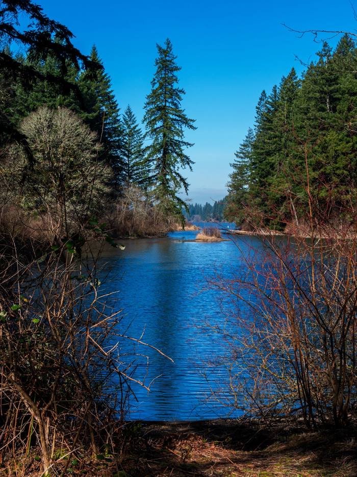
Attractions


Distance to the capital
Distance to the capital (Washington) is about — 3776 km.