 Gresham
Hialeah
Vero Beach
Sealy
North Fort Myers
Parsippany-Troy Hills
Schertz
North Palm Beach
Naples
Bluffton
Mount Vernon
Dexter
Macon
Thomasville
Vancouver
Gilchrist
Butler
Virginia Beach
Steamboat Springs
Gresham
Hialeah
Vero Beach
Sealy
North Fort Myers
Parsippany-Troy Hills
Schertz
North Palm Beach
Naples
Bluffton
Mount Vernon
Dexter
Macon
Thomasville
Vancouver
Gilchrist
Butler
Virginia Beach
Steamboat Springs
Winter Park on the map, United States
Where is located Winter Park
Exact location — Winter Park, Orange County, Florida, United States, marked on the map with a red marker.
Coordinates
Winter Park, United States coordinates in decimal format: latitude — 28.5999998, longitude — -81.3392352. When converted to degrees, minutes, seconds Winter Park has the following coordinates: 28°35′60 north latitude and -81°20′21.25 east longitude.
Population
Winter Park, Orange County, Florida, United States, according to our data the population is — 28,530 residents, which is about 0% of the total population of the country (United States).
Comparison of the population on the graph:
Exact time
Time zone for this location Winter Park — UTC -4 America/New_York. Exact time — saturday, 4 april 2024 year, 10 h. 52 minutes.
Sunrise and sunset
Winter Park, sunrise and sunset data for a date — saturday 20.04.2024.
| Sunrise | Sunset | Day (duration) |
|---|---|---|
| 06:56 -1 minute | 19:51 -0 minutes | 12 h. 54 minutes. +1 minute |
You can control the scale of the map using the auxiliary tools to find out exactly where it is located Winter Park. When you change the scale of the map, the width of the ruler also changes (in kilometers and miles).
Nearby cities
The largest cities that are located nearby:
- Orlando — 8 km
- Brandon — 118 km
- Tampa — 131 km
- Gainesville — 150 km
- Saint Petersburg — 157 km
- Clearwater — 159 km
- Port Saint Lucie — 176 km
- Jacksonville — 194 km
- Cape Coral — 233 km
- Coral Springs — 278 km
- Fort Lauderdale — 299 km
- Pembroke Pines — 305 km
- Miramar — 307 km
- Hollywood — 310 km
- Hialeah — 321 km
- Miami — 334 km
- Tallahassee — 346 km
- Savannah — 386 km
- Charleston — 480 km
Distance to neighboring capitals:
- Belmopan
 (Belize) — 1473 km
 - Guatemala City
 (Guatemala) — 1821 km
 - Ottawa
 (Canada) — 1936 km
 - Mexico City
 (Mexico) — 2072 km
 - Nuuk
 (Greenland) — 4475 km
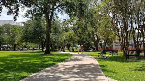
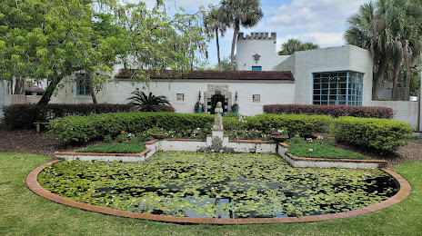
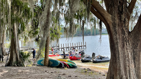
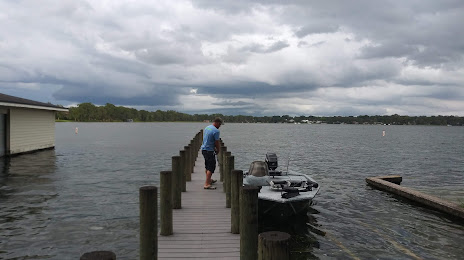
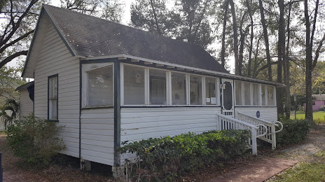
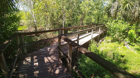
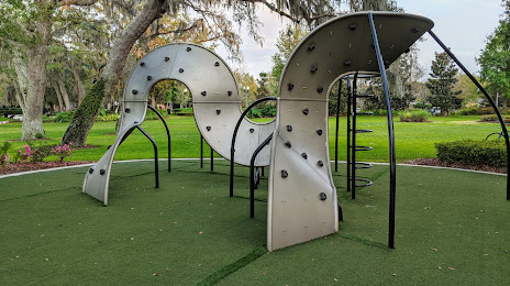
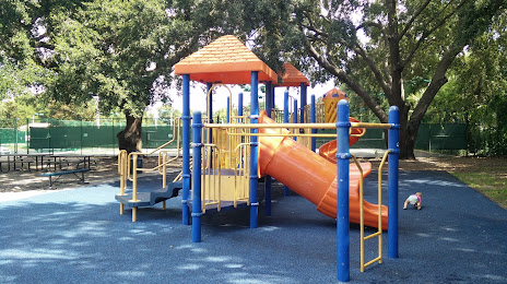
Attractions


Distance to the capital
Distance to the capital (Washington) is about — 1213 km.