 Hialeah
Vero Beach
Sealy
North Fort Myers
Parsippany-Troy Hills
Schertz
North Palm Beach
Naples
Rochester
Dripping Springs
Bluffton
Mount Vernon
Dexter
Macon
Thomasville
Vancouver
Gilchrist
Butler
Virginia Beach
Hialeah
Vero Beach
Sealy
North Fort Myers
Parsippany-Troy Hills
Schertz
North Palm Beach
Naples
Rochester
Dripping Springs
Bluffton
Mount Vernon
Dexter
Macon
Thomasville
Vancouver
Gilchrist
Butler
Virginia Beach
Kissimmee on the map, United States
Where is located Kissimmee
Exact location — Kissimmee, Osceola County, Florida, United States, marked on the map with a red marker.
Coordinates
Kissimmee, United States coordinates in decimal format: latitude — 28.2919557, longitude — -81.407571. When converted to degrees, minutes, seconds Kissimmee has the following coordinates: 28°17′31.04 north latitude and -81°24′27.26 east longitude.
Population
Kissimmee, Osceola County, Florida, United States, according to our data the population is — 63,685 residents, which is about 0% of the total population of the country (United States).
Comparison of the population on the graph:
Exact time
Time zone for this location Kissimmee — UTC -4 America/New_York. Exact time — thursday, 4 april 2024 year, 19 h. 15 minutes.
Sunrise and sunset
Kissimmee, sunrise and sunset data for a date — thursday 25.04.2024.
| Sunrise | Sunset | Day (duration) |
|---|---|---|
| 06:52 -1 minute | 19:54 +1 minute | 13 h. 0 minutes. +2 minutes |
You can control the scale of the map using the auxiliary tools to find out exactly where it is located Kissimmee. When you change the scale of the map, the width of the ruler also changes (in kilometers and miles).
Nearby cities
The largest cities that are located nearby:
- Orlando — 27 km
- Brandon — 94 km
- Tampa — 109 km
- Saint Petersburg — 134 km
- Clearwater — 141 km
- Port Saint Lucie — 153 km
- Gainesville — 174 km
- Cape Coral — 199 km
- Jacksonville — 227 km
- Coral Springs — 250 km
- Fort Lauderdale — 271 km
- Pembroke Pines — 276 km
- Miramar — 278 km
- Hollywood — 281 km
- Hialeah — 292 km
- Miami — 305 km
- Tallahassee — 362 km
- Savannah — 420 km
- Charleston — 514 km
Distance to neighboring capitals:
- Belmopan
 (Belize) — 1440 km
 - Guatemala City
 (Guatemala) — 1789 km
 - Ottawa
 (Canada) — 1971 km
 - Mexico City
 (Mexico) — 2051 km
 - Nuuk
 (Greenland) — 4509 km
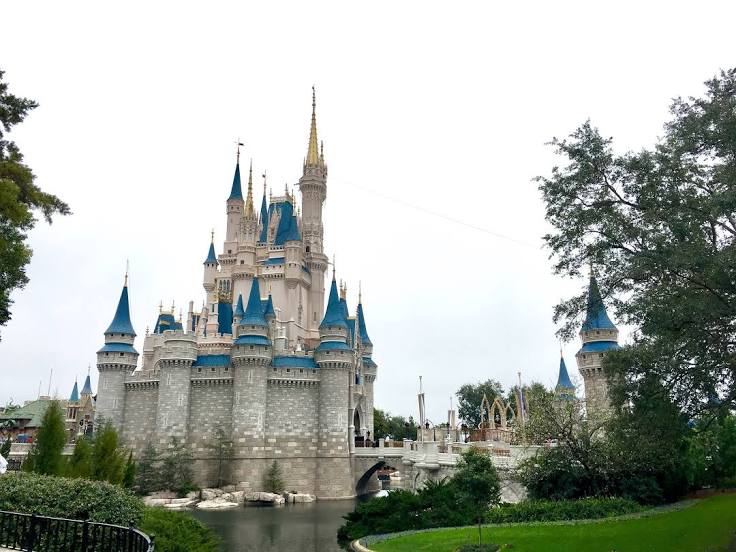
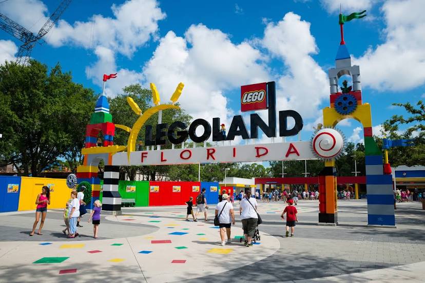
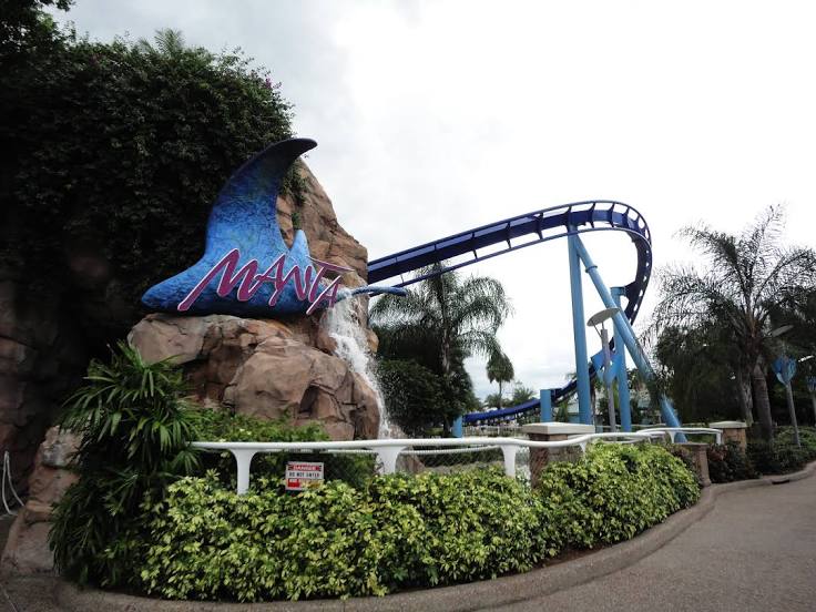
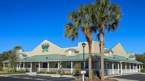
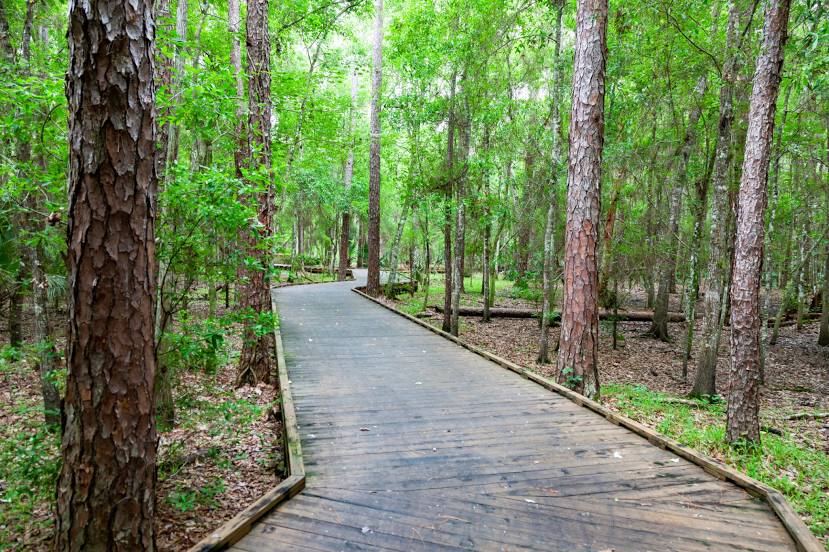
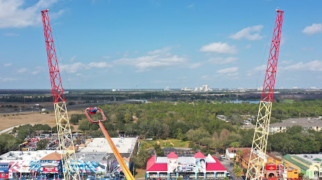
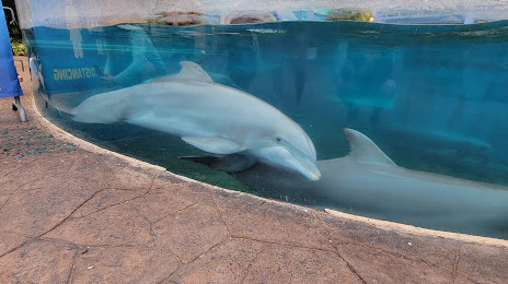
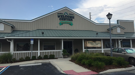
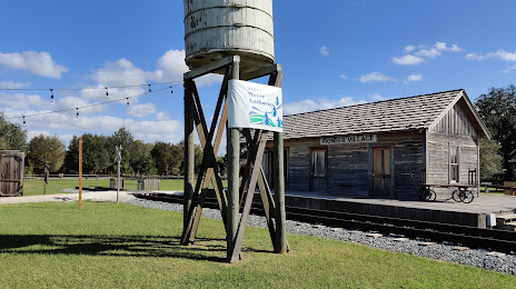
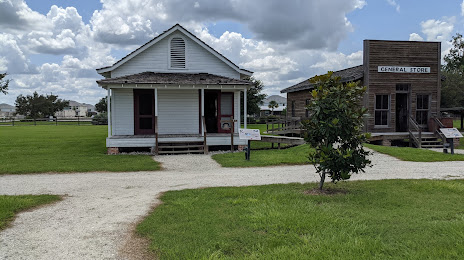
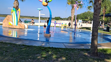
Attractions


Distance to the capital
Distance to the capital (Washington) is about — 1248 km.