 Sealy
North Fort Myers
Parsippany-Troy Hills
Schertz
North Palm Beach
Naples
Rochester
Columbus
Polk City
Clackamas
West Salem
Dripping Springs
Bluffton
Mount Vernon
Dexter
Macon
Thomasville
Vancouver
Gilchrist
Sealy
North Fort Myers
Parsippany-Troy Hills
Schertz
North Palm Beach
Naples
Rochester
Columbus
Polk City
Clackamas
West Salem
Dripping Springs
Bluffton
Mount Vernon
Dexter
Macon
Thomasville
Vancouver
Gilchrist
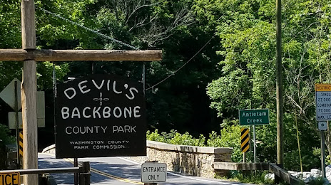
Hagerstown on the map, United States
Where is located Hagerstown
Exact location — Hagerstown, Washington County, Maryland, United States, marked on the map with a red marker.
Coordinates
Hagerstown, United States coordinates in decimal format: latitude — 39.6417629, longitude — -77.7199932. When converted to degrees, minutes, seconds Hagerstown has the following coordinates: 39°38′30.35 north latitude and -77°43′11.98 east longitude.
Population
Hagerstown, Washington County, Maryland, United States, according to our data the population is — 37,313 residents, which is about 0% of the total population of the country (United States).
Comparison of the population on the graph:
Exact time
Time zone for this location Hagerstown — UTC -4 America/New_York. Exact time — thursday, 4 april 2024 year, 20 h. 11 minutes.
Sunrise and sunset
Hagerstown, sunrise and sunset data for a date — thursday 18.04.2024.
| Sunrise | Sunset | Day (duration) |
|---|---|---|
| 06:30 -2 minutes | 19:49 +1 minute | 13 h. 18 minutes. +3 minutes |
You can control the scale of the map using the auxiliary tools to find out exactly where it is located Hagerstown. When you change the scale of the map, the width of the ruler also changes (in kilometers and miles).
Nearby cities
The largest cities that are located nearby:
- Baltimore — 102 km
- Alexandria — 109 km
- Pittsburgh — 211 km
- Allentown — 216 km
- Philadelphia — 219 km
- Richmond — 234 km
- Edison — 294 km
- Toms River — 300 km
- Hampton — 313 km
- Elizabeth — 315 km
- Newark — 321 km
- Paterson — 328 km
- New York — 333 km
- Brooklyn — 333 km
- Norfolk — 334 km
- Boston — 340 km
- Chesapeake — 342 km
- Virginia Beach — 345 km
- Yonkers — 350 km
Distance to neighboring capitals:
- Ottawa
 (Canada) — 664 km
 - Belmopan
 (Belize) — 2709 km
 - Mexico City
 (Mexico) — 3041 km
 - Guatemala City
 (Guatemala) — 3051 km
 - Nuuk
 (Greenland) — 3210 km
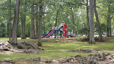
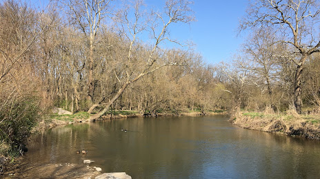
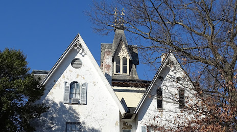
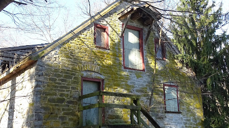
Attractions


Distance to the capital
Distance to the capital (Washington) is about — 101 km.