 Naples
Rochester
Columbus
Polk City
Dilley
Punta Gorda
Auburndale
Lake Wales
Mendenhall
Wilsonville
Junction City
Englewood
Washougal
Oregon City
Clackamas
West Salem
Dripping Springs
Bluffton
Mount Vernon
Naples
Rochester
Columbus
Polk City
Dilley
Punta Gorda
Auburndale
Lake Wales
Mendenhall
Wilsonville
Junction City
Englewood
Washougal
Oregon City
Clackamas
West Salem
Dripping Springs
Bluffton
Mount Vernon
Ocala on the map, United States
Where is located Ocala
Exact location — Ocala, Marion County, Florida, United States, marked on the map with a red marker.
Coordinates
Ocala, United States coordinates in decimal format: latitude — 29.1871986, longitude — -82.1400923. When converted to degrees, minutes, seconds Ocala has the following coordinates: 29°11′13.91 north latitude and -82°8′24.33 east longitude.
Population
Ocala, Marion County, Florida, United States, according to our data the population is — 49,558 residents, which is about 0% of the total population of the country (United States).
Comparison of the population on the graph:
Exact time
Time zone for this location Ocala — UTC -4 America/New_York. Exact time — thursday, 4 april 2024 year, 20 h. 41 minute.
Sunrise and sunset
Ocala, sunrise and sunset data for a date — thursday 18.04.2024.
| Sunrise | Sunset | Day (duration) |
|---|---|---|
| 07:01 -1 minute | 19:54 +1 minute | 12 h. 54 minutes. +2 minutes |
You can control the scale of the map using the auxiliary tools to find out exactly where it is located Ocala. When you change the scale of the map, the width of the ruler also changes (in kilometers and miles).
Nearby cities
The largest cities that are located nearby:
- Gainesville — 54 km
- Orlando — 103 km
- Jacksonville — 135 km
- Brandon — 139 km
- Tampa — 140 km
- Clearwater — 150 km
- Saint Petersburg — 164 km
- Tallahassee — 247 km
- Port Saint Lucie — 275 km
- Cape Coral — 291 km
- Savannah — 335 km
- Coral Springs — 372 km
- Fort Lauderdale — 393 km
- Pembroke Pines — 396 km
- Miramar — 398 km
- Hollywood — 403 km
- Hialeah — 412 km
- Miami — 426 km
- Charleston — 447 km
Distance to neighboring capitals:
- Belmopan
 (Belize) — 1490 km
 - Guatemala City
 (Guatemala) — 1836 km
 - Ottawa
 (Canada) — 1892 km
 - Mexico City
 (Mexico) — 2032 km
 - Nuuk
 (Greenland) — 4440 km
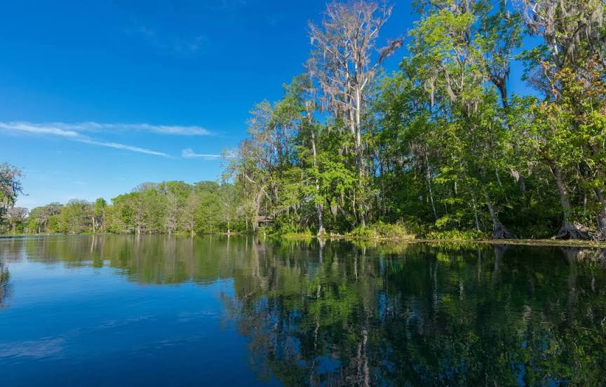
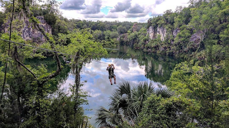
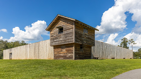
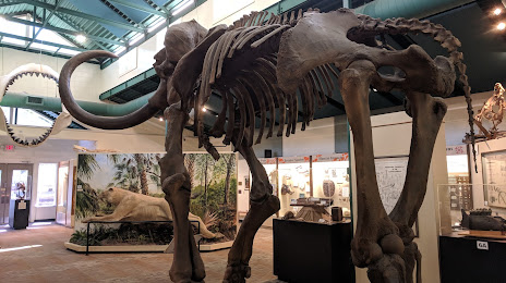
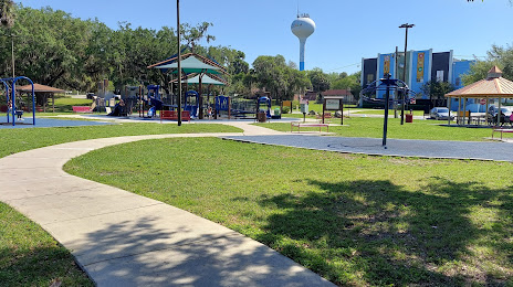
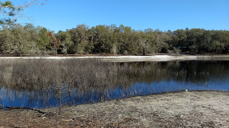
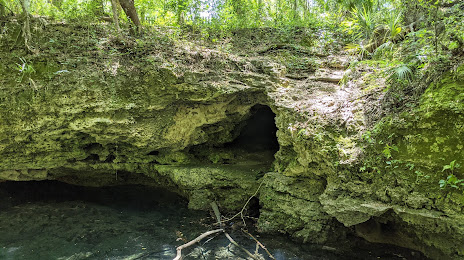
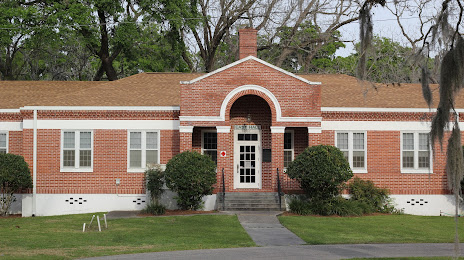
Attractions


Distance to the capital
Distance to the capital (Washington) is about — 1178 km.