 Rochester
Columbus
Polk City
Dilley
Punta Gorda
Auburndale
Lake Wales
Mendenhall
Donaldsonville
Redmond
Wilsonville
Junction City
Englewood
Washougal
Oregon City
Clackamas
West Salem
Dripping Springs
Bluffton
Rochester
Columbus
Polk City
Dilley
Punta Gorda
Auburndale
Lake Wales
Mendenhall
Donaldsonville
Redmond
Wilsonville
Junction City
Englewood
Washougal
Oregon City
Clackamas
West Salem
Dripping Springs
Bluffton
Melbourne on the map, United States
Where is located Melbourne
Exact location — Melbourne, Brevard County, Florida, United States, marked on the map with a red marker.
Coordinates
Melbourne, United States coordinates in decimal format: latitude — 28.0836269, longitude — -80.6081089. When converted to degrees, minutes, seconds Melbourne has the following coordinates: 28°5′1.06 north latitude and -80°36′29.19 east longitude.
Population
Melbourne, Brevard County, Florida, United States, according to our data the population is — 76,326 residents, which is about 0% of the total population of the country (United States).
Comparison of the population on the graph:
Exact time
Time zone for this location Melbourne — UTC -4 America/New_York. Exact time — wednesday, 4 april 2024 year, 19 h. 25 minutes.
Sunrise and sunset
Melbourne, sunrise and sunset data for a date — wednesday 24.04.2024.
| Sunrise | Sunset | Day (duration) |
|---|---|---|
| 06:50 -1 minute | 19:50 +1 minute | 13 h. 0 minutes. +2 minutes |
You can control the scale of the map using the auxiliary tools to find out exactly where it is located Melbourne. When you change the scale of the map, the width of the ruler also changes (in kilometers and miles).
Nearby cities
The largest cities that are located nearby:
- Orlando — 90 km
- Port Saint Lucie — 93 km
- Brandon — 165 km
- Tampa — 181 km
- Saint Petersburg — 202 km
- Coral Springs — 203 km
- Cape Coral — 214 km
- Clearwater — 214 km
- Fort Lauderdale — 222 km
- Pembroke Pines — 232 km
- Hollywood — 234 km
- Miramar — 234 km
- Gainesville — 239 km
- Hialeah — 248 km
- Miami — 260 km
- Jacksonville — 268 km
- Tallahassee — 436 km
- Savannah — 445 km
- Nassau
 (The Bahamas) — 467 km
Distance to neighboring capitals:
- Belmopan
 (Belize) — 1466 km
 - Guatemala City
 (Guatemala) — 1815 km
 - Ottawa
 (Canada) — 1976 km
 - Mexico City
 (Mexico) — 2113 km
 - Nuuk
 (Greenland) — 4506 km
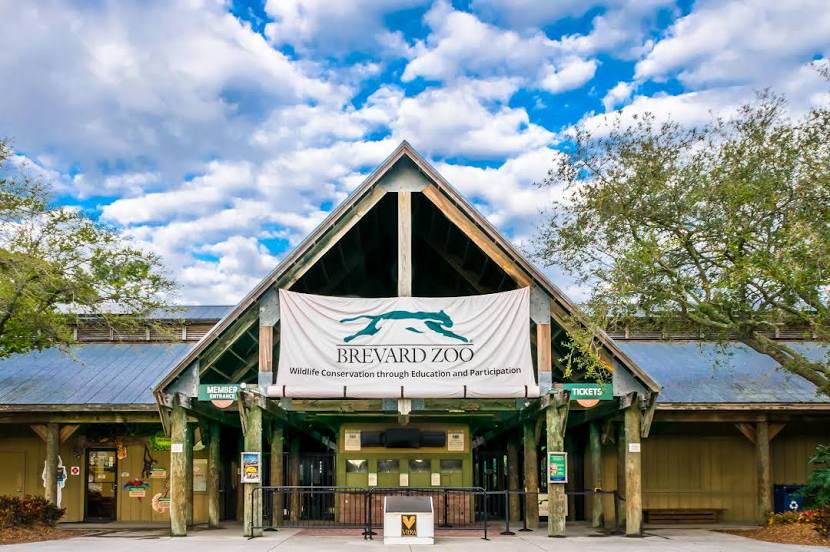
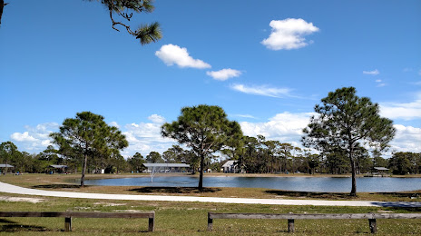
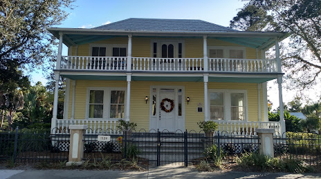
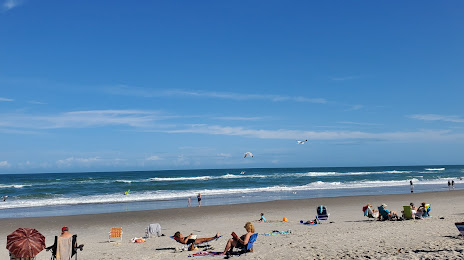
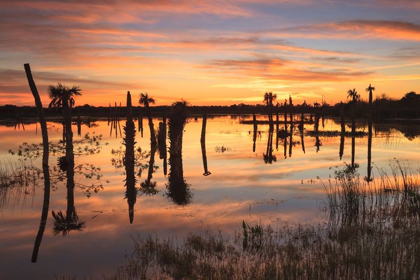
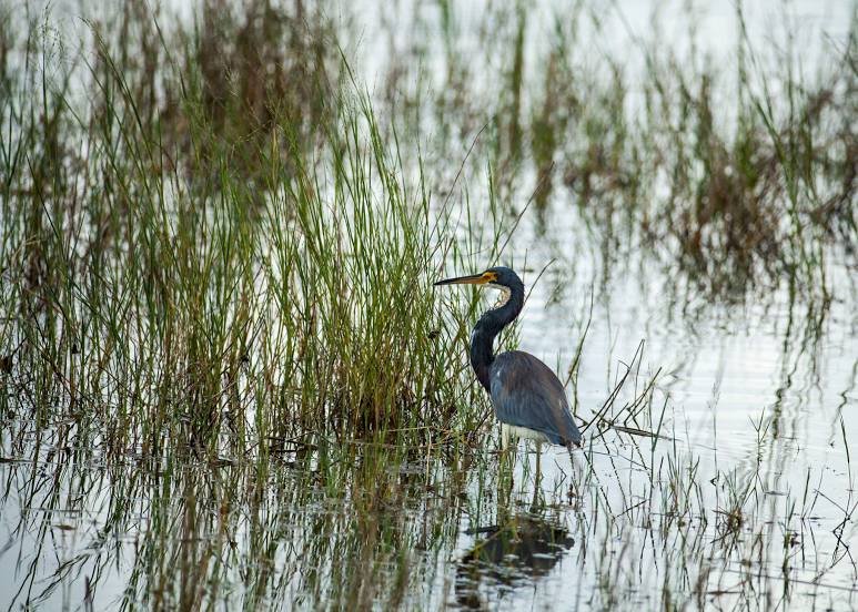
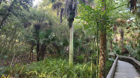
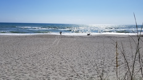
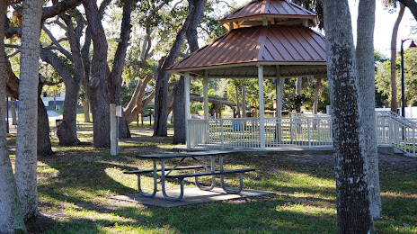
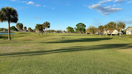
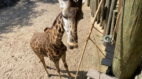
Attractions


Distance to the capital
Distance to the capital (Washington) is about — 1248 km.