 Auburndale
Lake Wales
Mendenhall
Donaldsonville
Hammond
Lafayette
South Padre Island
Harvey
Kalamazoo
Hagerstown
Fitzgerald
Kissimmee
Winter Park
Lakehead
Redmond
Wilsonville
Junction City
Englewood
Washougal
Auburndale
Lake Wales
Mendenhall
Donaldsonville
Hammond
Lafayette
South Padre Island
Harvey
Kalamazoo
Hagerstown
Fitzgerald
Kissimmee
Winter Park
Lakehead
Redmond
Wilsonville
Junction City
Englewood
Washougal
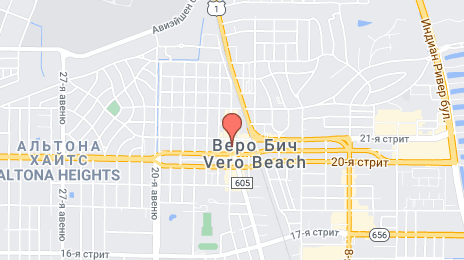
Vero Beach on the map, United States
Where is located Vero Beach
Exact location — Vero Beach, Indian River County, Florida, United States, marked on the map with a red marker.
Coordinates
Vero Beach, United States coordinates in decimal format: latitude — 27.6386434, longitude — -80.3972736. When converted to degrees, minutes, seconds Vero Beach has the following coordinates: 27°38′19.12 north latitude and -80°23′50.18 east longitude.
Population
Vero Beach, Indian River County, Florida, United States, according to our data the population is — 17,262 residents, which is about 0% of the total population of the country (United States).
Comparison of the population on the graph:
Exact time
Time zone for this location Vero Beach — UTC -4 America/New_York. Exact time — wednesday, 4 april 2024 year, 01 h. 32 minutes.
Sunrise and sunset
Vero Beach, sunrise and sunset data for a date — wednesday 24.04.2024.
| Sunrise | Sunset | Day (duration) |
|---|---|---|
| 06:50 -1 minute | 19:49 +1 minute | 13 h. 0 minutes. +2 minutes |
You can control the scale of the map using the auxiliary tools to find out exactly where it is located Vero Beach. When you change the scale of the map, the width of the ruler also changes (in kilometers and miles).
Nearby cities
The largest cities that are located nearby:
- Port Saint Lucie — 41 km
- Orlando — 138 km
- Coral Springs — 152 km
- Fort Lauderdale — 170 km
- Pembroke Pines — 181 km
- Hollywood — 182 km
- Miramar — 183 km
- Brandon — 187 km
- Cape Coral — 194 km
- Hialeah — 197 km
- Tampa — 204 km
- Miami — 209 km
- Saint Petersburg — 220 km
- Clearwater — 237 km
- Gainesville — 290 km
- Jacksonville — 321 km
- Nassau
 (The Bahamas) — 418 km
 - Tallahassee — 483 km
- Savannah — 496 km
Distance to neighboring capitals:
- Belmopan
 (Belize) — 1439 km
 - Guatemala City
 (Guatemala) — 1788 km
 - Ottawa
 (Canada) — 2021 km
 - Mexico City
 (Mexico) — 2114 km
 - Nuuk
 (Greenland) — 4546 km
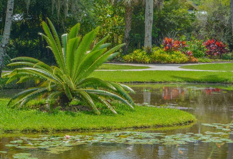
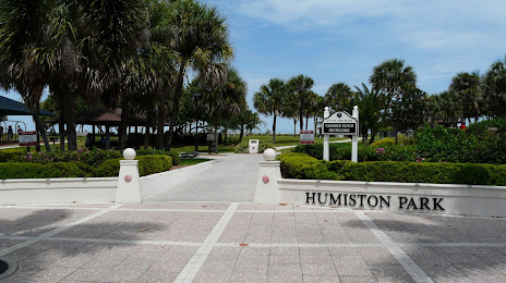
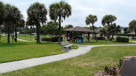
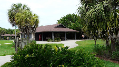
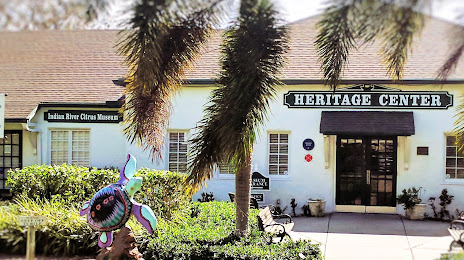
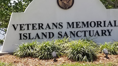
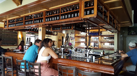
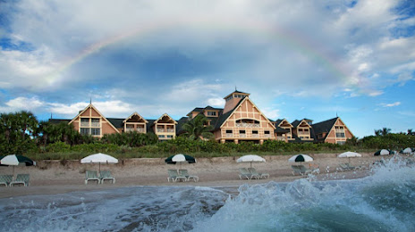
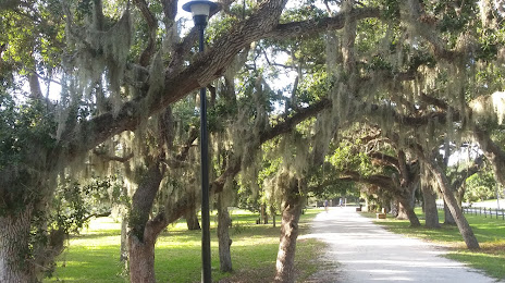
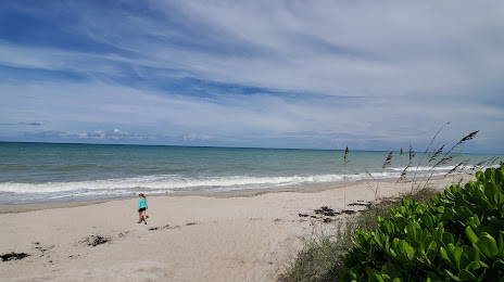
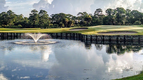
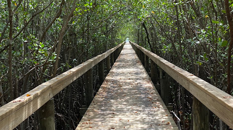
Attractions


Distance to the capital
Distance to the capital (Washington) is about — 1291 km.