 South Padre Island
Harvey
Kalamazoo
Encinal
Laurel County
Willamina
Niceville
Victoria
Pensacola
Melbourne
Ocala
Lake Mary
Quincy
Turlock
Ripley Airport
Hagerstown
Fitzgerald
Kissimmee
Winter Park
South Padre Island
Harvey
Kalamazoo
Encinal
Laurel County
Willamina
Niceville
Victoria
Pensacola
Melbourne
Ocala
Lake Mary
Quincy
Turlock
Ripley Airport
Hagerstown
Fitzgerald
Kissimmee
Winter Park
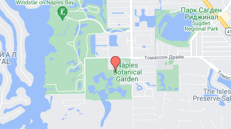
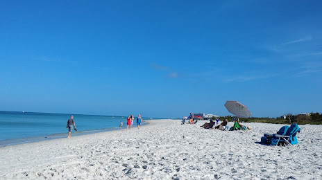
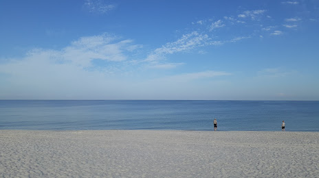
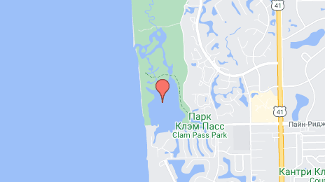
Naples on the map, United States
Where is located Naples
Exact location — Naples, Collier County, Florida, United States, marked on the map with a red marker.
Coordinates
Naples, United States coordinates in decimal format: latitude — 26.1420358, longitude — -81.7948103. When converted to degrees, minutes, seconds Naples has the following coordinates: 26°8′31.33 north latitude and -81°47′41.32 east longitude.
Population
Naples, Collier County, Florida, United States, according to our data the population is — 21,498 residents, which is about 0% of the total population of the country (United States).
Comparison of the population on the graph:
Exact time
Time zone for this location Naples — UTC -4 America/New_York. Exact time — wednesday, 4 april 2024 year, 21 h. 37 minutes.
Sunrise and sunset
Naples, sunrise and sunset data for a date — wednesday 24.04.2024.
| Sunrise | Sunset | Day (duration) |
|---|---|---|
| 06:57 -1 minute | 19:52 -0 minutes | 12 h. 54 minutes. +1 minute |
You can control the scale of the map using the auxiliary tools to find out exactly where it is located Naples. When you change the scale of the map, the width of the ruler also changes (in kilometers and miles).
Nearby cities
The largest cities that are located nearby:
- Cape Coral — 49 km
- Miramar — 149 km
- Pembroke Pines — 150 km
- Coral Springs — 152 km
- Hialeah — 154 km
- Hollywood — 164 km
- Fort Lauderdale — 165 km
- Miami — 165 km
- Port Saint Lucie — 189 km
- Saint Petersburg — 198 km
- Brandon — 204 km
- Tampa — 210 km
- Clearwater — 224 km
- Orlando — 268 km
- Havana
 (Cuba) — 333 km
 - Matanzas (Cuba) — 345 km
- Gainesville — 391 km
- Santa Clara (Cuba) — 453 km
- Pinar del Río (Cuba) — 455 km
Distance to neighboring capitals:
- Belmopan
 (Belize) — 1223 km
 - Guatemala City
 (Guatemala) — 1572 km
 - Mexico City
 (Mexico) — 1926 km
 - Ottawa
 (Canada) — 2212 km
 - Nuuk
 (Greenland) — 4748 km
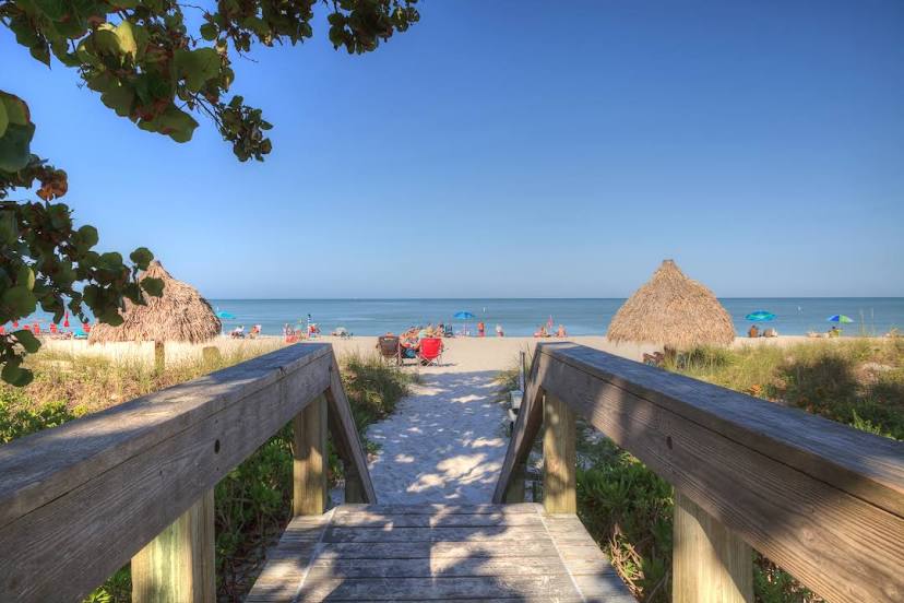
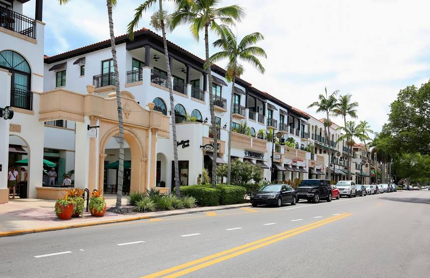
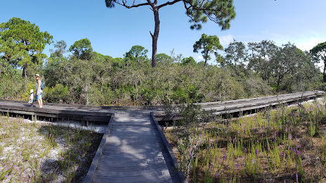
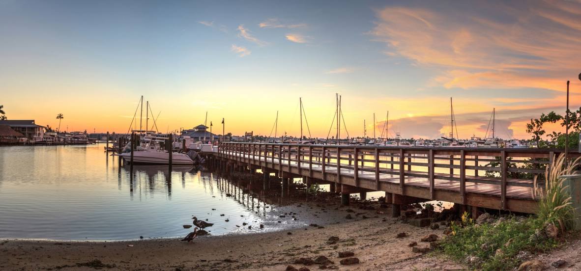
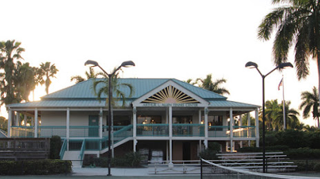
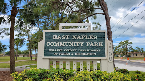
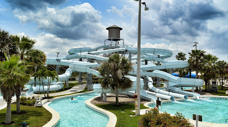
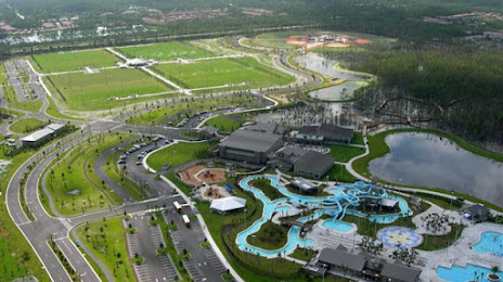
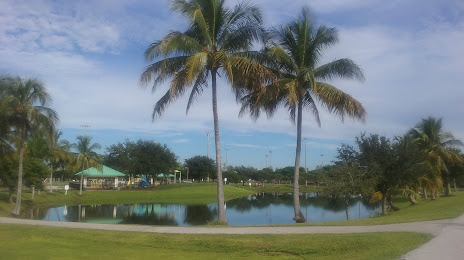
Attractions


Distance to the capital
Distance to the capital (Washington) is about — 1488 km.