 Willamina
Niceville
Victoria
Pensacola
Ridgeland
New Iberia
Millsboro
Trevose
Westville
Vero Beach
Hialeah
Gresham
Kalama
Hillsboro
Melbourne
Ocala
Lake Mary
Quincy
Turlock
Willamina
Niceville
Victoria
Pensacola
Ridgeland
New Iberia
Millsboro
Trevose
Westville
Vero Beach
Hialeah
Gresham
Kalama
Hillsboro
Melbourne
Ocala
Lake Mary
Quincy
Turlock
Punta Gorda on the map, United States
Where is located Punta Gorda
Exact location — Punta Gorda, Charlotte County, Florida, United States, marked on the map with a red marker.
Coordinates
Punta Gorda, United States coordinates in decimal format: latitude — 26.9297836, longitude — -82.0453664. When converted to degrees, minutes, seconds Punta Gorda has the following coordinates: 26°55′47.22 north latitude and -82°2′43.32 east longitude.
Population
Punta Gorda, Charlotte County, Florida, United States, according to our data the population is — 18,306 residents, which is about 0% of the total population of the country (United States).
Comparison of the population on the graph:
Exact time
Time zone for this location Punta Gorda — UTC -4 America/New_York. Exact time — thursday, 4 april 2024 year, 13 h. 11 minutes.
Sunrise and sunset
Punta Gorda, sunrise and sunset data for a date — thursday 25.04.2024.
| Sunrise | Sunset | Day (duration) |
|---|---|---|
| 06:56 -1 minute | 19:55 +1 minute | 13 h. 0 minutes. +2 minutes |
You can control the scale of the map using the auxiliary tools to find out exactly where it is located Punta Gorda. When you change the scale of the map, the width of the ruler also changes (in kilometers and miles).
Nearby cities
The largest cities that are located nearby:
- Cape Coral — 42 km
- Saint Petersburg — 110 km
- Brandon — 114 km
- Tampa — 120 km
- Clearwater — 136 km
- Port Saint Lucie — 170 km
- Orlando — 189 km
- Coral Springs — 190 km
- Pembroke Pines — 201 km
- Miramar — 202 km
- Fort Lauderdale — 209 km
- Hialeah — 212 km
- Hollywood — 214 km
- Miami — 225 km
- Gainesville — 302 km
- Jacksonville — 378 km
- Havana
 (Cuba) — 418 km
 - Matanzas (Cuba) — 434 km
- Tallahassee — 443 km
Distance to neighboring capitals:
- Belmopan
 (Belize) — 1279 km
 - Guatemala City
 (Guatemala) — 1628 km
 - Mexico City
 (Mexico) — 1933 km
 - Ottawa
 (Canada) — 2133 km
 - Nuuk
 (Greenland) — 4673 km
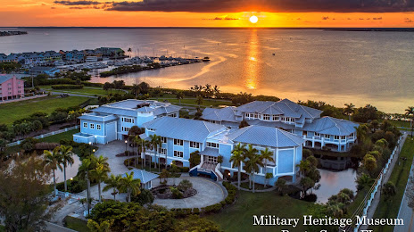
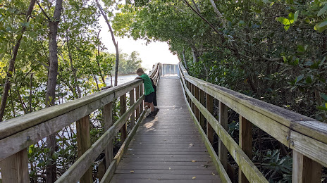
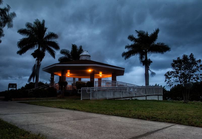
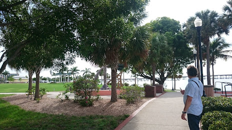
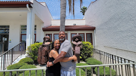
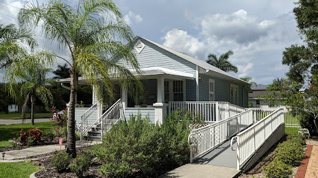
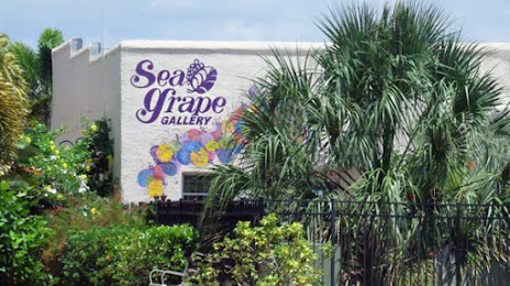
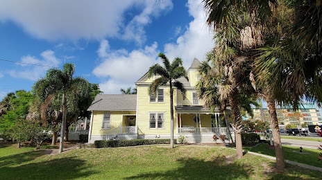
Attractions


Distance to the capital
Distance to the capital (Washington) is about — 1411 km.