 Bowling Green
Langhorne
Altamonte Springs
Galveston
Weare
Parkersburg
Benton Ridge
Waverly
Hilliard
Lake Wales
Auburndale
Punta Gorda
Dilley
Polk City
Columbus
Rochester
Naples
North Palm Beach
Schertz
Bowling Green
Langhorne
Altamonte Springs
Galveston
Weare
Parkersburg
Benton Ridge
Waverly
Hilliard
Lake Wales
Auburndale
Punta Gorda
Dilley
Polk City
Columbus
Rochester
Naples
North Palm Beach
Schertz
Niceville on the map, United States
Where is located Niceville
Exact location — Niceville, Okaloosa County, Florida, United States, marked on the map with a red marker.
Coordinates
Niceville, United States coordinates in decimal format: latitude — 30.5168639, longitude — -86.482172. When converted to degrees, minutes, seconds Niceville has the following coordinates: 30°31′0.71 north latitude and -86°28′55.82 east longitude.
Population
Niceville, Okaloosa County, Florida, United States, according to our data the population is — 12,573 residents, which is about 0% of the total population of the country (United States).
Comparison of the population on the graph:
Exact time
Time zone for this location Niceville — UTC -5 America/Chicago. Exact time — wednesday, 4 april 2024 year, 01 h. 38 minutes.
Sunrise and sunset
Niceville, sunrise and sunset data for a date — wednesday 24.04.2024.
| Sunrise | Sunset | Day (duration) |
|---|---|---|
| 06:10 -1 minute | 19:17 +1 minute | 13 h. 6 minutes. +2 minutes |
You can control the scale of the map using the auxiliary tools to find out exactly where it is located Niceville. When you change the scale of the map, the width of the ruler also changes (in kilometers and miles).
Nearby cities
The largest cities that are located nearby:
- Mobile — 149 km
- Montgomery — 205 km
- Tallahassee — 210 km
- Birmingham — 333 km
- New Orleans — 349 km
- Metairie — 356 km
- Jackson — 398 km
- Atlanta — 406 km
- Gainesville — 411 km
- Baton Rouge — 444 km
- Clearwater — 457 km
- Jacksonville — 461 km
- Huntsville — 466 km
- Saint Petersburg — 483 km
- Tampa — 485 km
- Brandon — 499 km
- Chattanooga — 512 km
- Lafayette — 530 km
- Savannah — 533 km
Distance to neighboring capitals:
- Belmopan
 (Belize) — 1494 km
 - Mexico City
 (Mexico) — 1771 km
 - Guatemala City
 (Guatemala) — 1817 km
 - Ottawa
 (Canada) — 1905 km
 - Nuuk
 (Greenland) — 4455 km
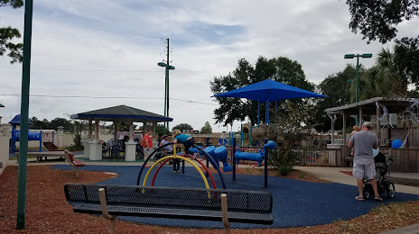
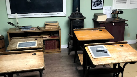
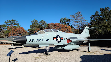
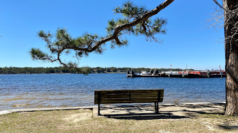
Attractions


Distance to the capital
Distance to the capital (Washington) is about — 1270 km.