 Albany
Lorton
Kingdom City
Chantilly
Camp Springs
Woodbridge
Leonardtown
Compton
Auburn
Weare
Galveston
Altamonte Springs
Langhorne
Bowling Green
Savage
Middletown
Delmar
Queenstown
Westville
Albany
Lorton
Kingdom City
Chantilly
Camp Springs
Woodbridge
Leonardtown
Compton
Auburn
Weare
Galveston
Altamonte Springs
Langhorne
Bowling Green
Savage
Middletown
Delmar
Queenstown
Westville
Stow on the map, United States
Where is located Stow
Exact location — Stow, Summit County, Ohio, United States, marked on the map with a red marker.
Coordinates
Stow, United States coordinates in decimal format: latitude — 41.1595005, longitude — -81.4403898. When converted to degrees, minutes, seconds Stow has the following coordinates: 41°9′34.2 north latitude and -81°26′25.4 east longitude.
Population
Stow, Summit County, Ohio, United States, according to our data the population is — 35,349 residents, which is about 0% of the total population of the country (United States).
Comparison of the population on the graph:
Exact time
Time zone for this location Stow — UTC -4 America/New_York. Exact time — wednesday, 4 april 2024 year, 01 h. 17 minutes.
Sunrise and sunset
Stow, sunrise and sunset data for a date — wednesday 24.04.2024.
| Sunrise | Sunset | Day (duration) |
|---|---|---|
| 06:34 -2 minutes | 20:12 +1 minute | 13 h. 36 minutes. +3 minutes |
You can control the scale of the map using the auxiliary tools to find out exactly where it is located Stow. When you change the scale of the map, the width of the ruler also changes (in kilometers and miles).
Nearby cities
The largest cities that are located nearby:
- Akron — 11 km
- Aurora — 19 km
- Cleveland — 43 km
- Pittsburgh — 145 km
- Windsor
 (Canada) — 183 km
 - Toledo — 183 km
- Detroit — 184 km
- Columbus — 187 km
- Warren — 197 km
- London (Canada) — 203 km
- Sterling Heights — 204 km
- Ann Arbor — 225 km
- Springfield — 243 km
- Cambridge (Canada) — 260 km
- Kitchener (Canada) — 261 km
- Hamilton (Canada) — 264 km
- Waterloo (Canada) — 265 km
- Boston — 273 km
- Burlington (Canada) — 273 km
Distance to neighboring capitals:
- Ottawa (Canada) — 664 km
- Belmopan
 (Belize) — 2750 km
 - Mexico City
 (Mexico) — 2941 km
 - Guatemala City
 (Guatemala) — 3081 km
 - Nuuk
 (Greenland) — 3190 km
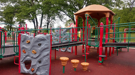
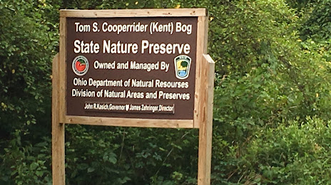
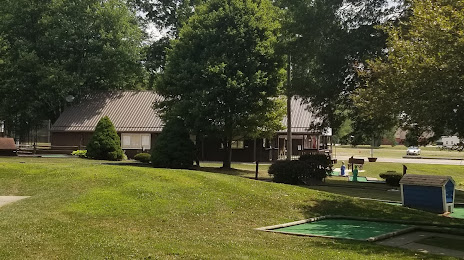
Attractions

Distance to the capital
Distance to the capital (Washington) is about — 451 km.