 Woodbury
Croton-on-Hudson
Melville
Saddle River
Wayne
Carlstadt
Mahwah
Totowa
Hackensack
Brookfield
Waldorf
Potomac
Chippewa Falls
Accokeek
Auburn
Compton
Leonardtown
Woodbridge
Camp Springs
Woodbury
Croton-on-Hudson
Melville
Saddle River
Wayne
Carlstadt
Mahwah
Totowa
Hackensack
Brookfield
Waldorf
Potomac
Chippewa Falls
Accokeek
Auburn
Compton
Leonardtown
Woodbridge
Camp Springs
White Plains on the map, United States
Where is located White Plains
Exact location — White Plains, Westchester County, New York, United States, marked on the map with a red marker.
Coordinates
White Plains, United States coordinates in decimal format: latitude — 41.0339862, longitude — -73.7629097. When converted to degrees, minutes, seconds White Plains has the following coordinates: 41°2′2.35 north latitude and -73°45′46.47 east longitude.
Population
White Plains, Westchester County, New York, United States, according to our data the population is — 57,260 residents, which is about 0% of the total population of the country (United States).
Comparison of the population on the graph:
Exact time
Time zone for this location White Plains — UTC -4 America/New_York. Exact time — wednesday, 4 april 2024 year, 12 h. 12 minutes.
Sunrise and sunset
White Plains, sunrise and sunset data for a date — wednesday 17.04.2024.
| Sunrise | Sunset | Day (duration) |
|---|---|---|
| 06:14 -2 minutes | 19:34 +1 minute | 13 h. 18 minutes. +3 minutes |
You can control the scale of the map using the auxiliary tools to find out exactly where it is located White Plains. When you change the scale of the map, the width of the ruler also changes (in kilometers and miles).
Nearby cities
The largest cities that are located nearby:
- Yonkers — 16 km
- Stamford — 19 km
- Paterson — 37 km
- New York — 41 km
- Brooklyn — 42 km
- Newark — 48 km
- Bridgeport — 50 km
- Elizabeth — 56 km
- New Haven — 76 km
- Edison — 79 km
- Waterbury — 83 km
- Hartford — 120 km
- Toms River — 125 km
- Springfield — 152 km
- Allentown — 152 km
- Philadelphia — 169 km
- Amherst — 178 km
- Worcester — 210 km
- Providence — 212 km
Distance to neighboring capitals:
- Ottawa
 (Canada) — 513 km
 - Nuuk
 (Greenland) — 2939 km
 - Belmopan
 (Belize) — 3010 km
 - Guatemala City
 (Guatemala) — 3356 km
 - Mexico City
 (Mexico) — 3398 km
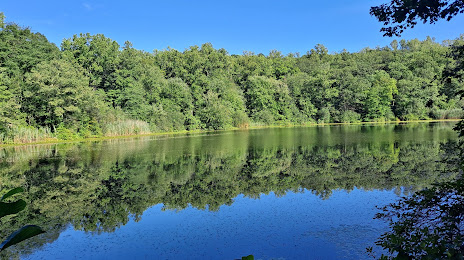
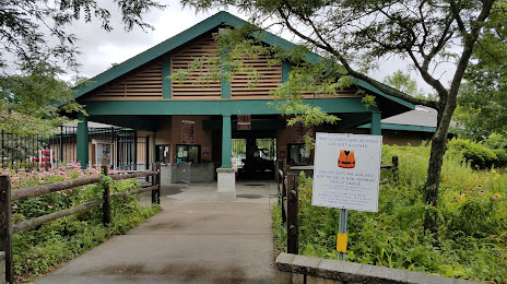
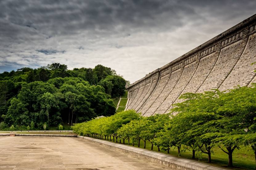
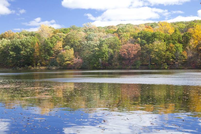
Attractions


Distance to the capital
Distance to the capital (Washington) is about — 366 km.