 Saddle River
Wayne
Carlstadt
Mahwah
Totowa
Hackensack
Lakewood
Beebe
Stuttgart
Edinburg
Mechanicsville
Bonita Springs
Brookfield
Waldorf
Potomac
Chippewa Falls
Accokeek
Auburn
Compton
Saddle River
Wayne
Carlstadt
Mahwah
Totowa
Hackensack
Lakewood
Beebe
Stuttgart
Edinburg
Mechanicsville
Bonita Springs
Brookfield
Waldorf
Potomac
Chippewa Falls
Accokeek
Auburn
Compton
New Rochelle on the map, United States
Where is located New Rochelle
Exact location — New Rochelle, Westchester County, New York, United States, marked on the map with a red marker.
Coordinates
New Rochelle, United States coordinates in decimal format: latitude — 40.9114882, longitude — -73.7823549. When converted to degrees, minutes, seconds New Rochelle has the following coordinates: 40°54′41.36 north latitude and -73°46′56.48 east longitude.
Population
New Rochelle, Westchester County, New York, United States, according to our data the population is — 72,786 residents, which is about 0% of the total population of the country (United States).
Comparison of the population on the graph:
Exact time
Time zone for this location New Rochelle — UTC -4 America/New_York. Exact time — thursday, 4 april 2024 year, 10 h. 49 minutes.
Sunrise and sunset
New Rochelle, sunrise and sunset data for a date — thursday 25.04.2024.
| Sunrise | Sunset | Day (duration) |
|---|---|---|
| 06:03 -1 minute | 19:42 +1 minute | 13 h. 42 minutes. +2 minutes |
You can control the scale of the map using the auxiliary tools to find out exactly where it is located New Rochelle. When you change the scale of the map, the width of the ruler also changes (in kilometers and miles).
Nearby cities
The largest cities that are located nearby:
- Yonkers — 10 km
- Stamford — 26 km
- New York — 29 km
- Brooklyn — 30 km
- Paterson — 33 km
- Newark — 38 km
- Elizabeth — 45 km
- Bridgeport — 58 km
- Edison — 68 km
- New Haven — 83 km
- Waterbury — 94 km
- Toms River — 112 km
- Hartford — 131 km
- Allentown — 147 km
- Philadelphia — 158 km
- Springfield — 164 km
- Amherst — 190 km
- Providence — 220 km
- Worcester — 220 km
Distance to neighboring capitals:
- Ottawa
 (Canada) — 525 km
 - Nuuk
 (Greenland) — 2952 km
 - Belmopan
 (Belize) — 2998 km
 - Guatemala City
 (Guatemala) — 3344 km
 - Mexico City
 (Mexico) — 3389 km
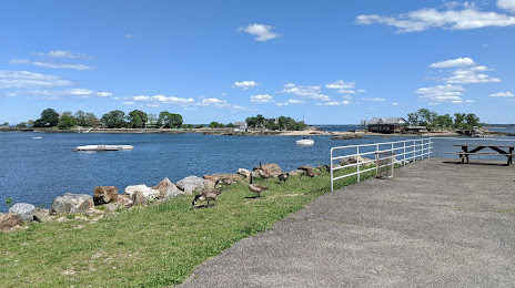
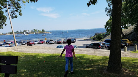
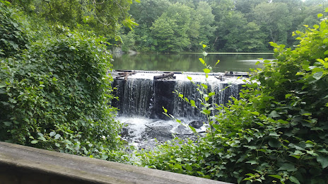
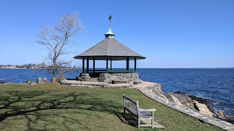
Attractions


Distance to the capital
Distance to the capital (Washington) is about — 356 km.