 Kewaunee
Elkton
Falls Church
Winterhaven
Ewing Township
Riverside
Centreville
Greensboro
Woodford
Collinston
Stuttgart
Beebe
Lakewood
Hackensack
Totowa
Mahwah
Carlstadt
Wayne
Saddle River
Kewaunee
Elkton
Falls Church
Winterhaven
Ewing Township
Riverside
Centreville
Greensboro
Woodford
Collinston
Stuttgart
Beebe
Lakewood
Hackensack
Totowa
Mahwah
Carlstadt
Wayne
Saddle River
Secaucus on the map, United States
Where is located Secaucus
Exact location — Secaucus, Hudson County, New Jersey, United States, marked on the map with a red marker.
Coordinates
Secaucus, United States coordinates in decimal format: latitude — 40.7895453, longitude — -74.0565298. When converted to degrees, minutes, seconds Secaucus has the following coordinates: 40°47′22.36 north latitude and -74°3′23.51 east longitude.
Population
Secaucus, Hudson County, New Jersey, United States, according to our data the population is — 15,534 residents, which is about 0% of the total population of the country (United States).
Comparison of the population on the graph:
Exact time
Time zone for this location Secaucus — UTC -4 America/New_York. Exact time — thursday, 4 april 2024 year, 12 h. 56 minutes.
Sunrise and sunset
Secaucus, sunrise and sunset data for a date — thursday 25.04.2024.
| Sunrise | Sunset | Day (duration) |
|---|---|---|
| 06:04 -2 minutes | 19:43 +1 minute | 13 h. 42 minutes. +3 minutes |
You can control the scale of the map using the auxiliary tools to find out exactly where it is located Secaucus. When you change the scale of the map, the width of the ruler also changes (in kilometers and miles).
Nearby cities
The largest cities that are located nearby:
- New York — 9 km
- Newark — 11 km
- Brooklyn — 12 km
- Paterson — 17 km
- Elizabeth — 19 km
- Yonkers — 20 km
- Edison — 42 km
- Stamford — 52 km
- Bridgeport — 84 km
- Toms River — 93 km
- New Haven — 110 km
- Waterbury — 119 km
- Allentown — 122 km
- Philadelphia — 132 km
- Hartford — 156 km
- Springfield — 188 km
- Amherst — 214 km
- Providence — 246 km
- Worcester — 246 km
Distance to neighboring capitals:
- Ottawa
 (Canada) — 532 km
 - Nuuk
 (Greenland) — 2973 km
 - Belmopan
 (Belize) — 2974 km
 - Guatemala City
 (Guatemala) — 3320 km
 - Mexico City
 (Mexico) — 3362 km
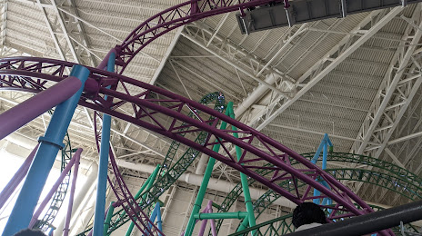
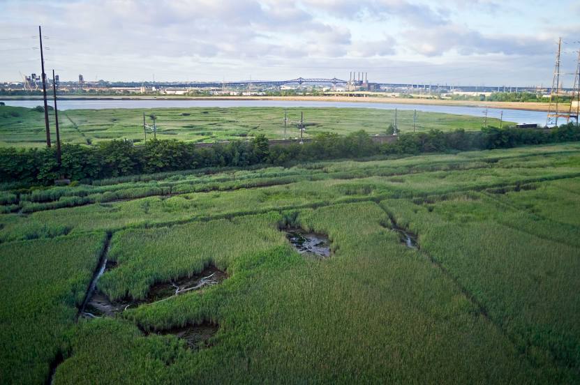
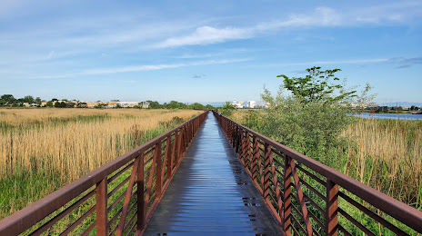
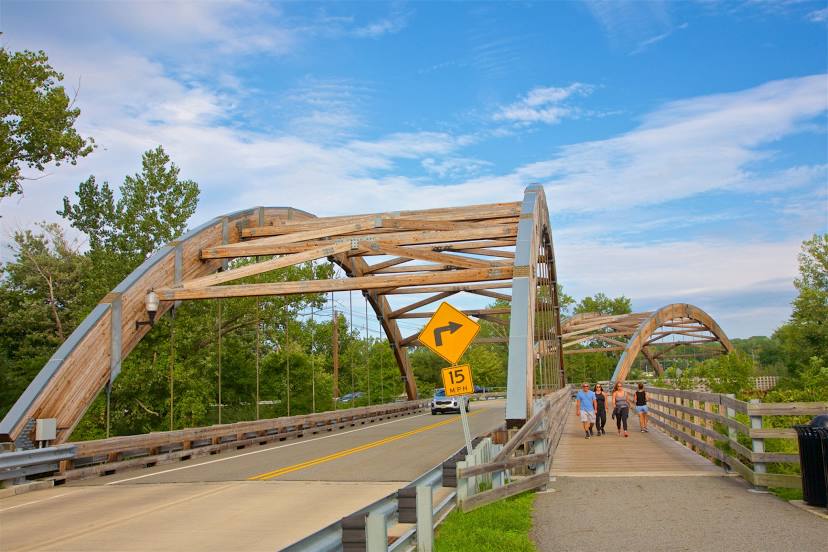
Attractions


Distance to the capital
Distance to the capital (Washington) is about — 330 km.