 Crothersville
Urbana
Apple Valley
Carmel-by-the-Sea
Champaign
Winslow
Paoli
North Vernon
Danbury
Cherokee
Charles Town
Burlington
Secaucus
Farmerville
Camden
West Monroe
Monroe
Sevierville
New Boston
Crothersville
Urbana
Apple Valley
Carmel-by-the-Sea
Champaign
Winslow
Paoli
North Vernon
Danbury
Cherokee
Charles Town
Burlington
Secaucus
Farmerville
Camden
West Monroe
Monroe
Sevierville
New Boston
Falls Church on the map, United States
Where is located Falls Church
Exact location — Falls Church, Virginia, United States, marked on the map with a red marker.
Coordinates
Falls Church, United States coordinates in decimal format: latitude — 38.882334, longitude — -77.1710914. When converted to degrees, minutes, seconds Falls Church has the following coordinates: 38°52′56.4 north latitude and -77°10′15.93 east longitude.
Population
Falls Church, Virginia, United States, according to our data the population is — 10,340 residents, which is about 0% of the total population of the country (United States).
Comparison of the population on the graph:
Exact time
Time zone for this location Falls Church — UTC -4 America/New_York. Exact time — thursday, 4 april 2024 year, 08 h. 53 minutes.
Sunrise and sunset
Falls Church, sunrise and sunset data for a date — thursday 25.04.2024.
| Sunrise | Sunset | Day (duration) |
|---|---|---|
| 06:20 -1 minute | 19:52 +1 minute | 13 h. 30 minutes. +2 minutes |
You can control the scale of the map using the auxiliary tools to find out exactly where it is located Falls Church. When you change the scale of the map, the width of the ruler also changes (in kilometers and miles).
Nearby cities
The largest cities that are located nearby:
- Alexandria — 14 km
- Baltimore — 66 km
- Richmond — 150 km
- Philadelphia — 207 km
- Hampton — 217 km
- Allentown — 237 km
- Norfolk — 238 km
- Chesapeake — 246 km
- Virginia Beach — 248 km
- Toms River — 278 km
- Pittsburgh — 294 km
- Edison — 294 km
- Elizabeth — 317 km
- Newark — 324 km
- Brooklyn — 333 km
- New York — 334 km
- Paterson — 337 km
- Durham — 355 km
- Yonkers — 355 km
Distance to neighboring capitals:
- Ottawa
 (Canada) — 737 km
 - Belmopan
 (Belize) — 2656 km
 - Guatemala City
 (Guatemala) — 3000 km
 - Mexico City
 (Mexico) — 3022 km
 - Nuuk
 (Greenland) — 3269 km
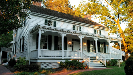
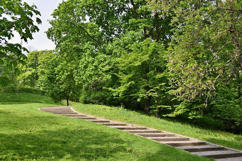
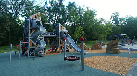
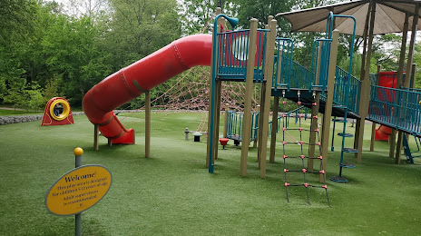
Attractions


Distance to the capital
Distance to the capital (Washington) is about — 12 km.