 Suisun City
Lewis Center
Bellefontaine
La Mesa
Exeter
Dover
Munster
Framingham
Grandville
Seymour
Kokomo
Muncie
Woodford
Greensboro
Centreville
Riverside
Ewing Township
Winterhaven
Falls Church
Suisun City
Lewis Center
Bellefontaine
La Mesa
Exeter
Dover
Munster
Framingham
Grandville
Seymour
Kokomo
Muncie
Woodford
Greensboro
Centreville
Riverside
Ewing Township
Winterhaven
Falls Church
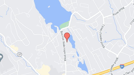
Danbury on the map, United States
Where is located Danbury
Exact location — Danbury, Fairfield County, Connecticut, United States, marked on the map with a red marker.
Coordinates
Danbury, United States coordinates in decimal format: latitude — 41.394817, longitude — -73.4540111. When converted to degrees, minutes, seconds Danbury has the following coordinates: 41°23′41.34 north latitude and -73°27′14.44 east longitude.
Population
Danbury, Fairfield County, Connecticut, United States, according to our data the population is — 78,565 residents, which is about 0% of the total population of the country (United States).
Comparison of the population on the graph:
Exact time
Time zone for this location Danbury — UTC -4 America/New_York. Exact time — friday, 4 april 2024 year, 09 h. 47 minutes.
Sunrise and sunset
Danbury, sunrise and sunset data for a date — friday 19.04.2024.
| Sunrise | Sunset | Day (duration) |
|---|---|---|
| 06:09 -2 minutes | 19:35 +1 minute | 13 h. 24 minutes. +3 minutes |
You can control the scale of the map using the auxiliary tools to find out exactly where it is located Danbury. When you change the scale of the map, the width of the ruler also changes (in kilometers and miles).
Nearby cities
The largest cities that are located nearby:
- Bridgeport — 32 km
- Waterbury — 38 km
- Stamford — 38 km
- New Haven — 45 km
- Yonkers — 63 km
- Hartford — 75 km
- Paterson — 80 km
- New York — 88 km
- Brooklyn — 90 km
- Newark — 95 km
- Elizabeth — 103 km
- Springfield — 106 km
- Edison — 126 km
- Amherst — 131 km
- Worcester — 166 km
- Toms River — 171 km
- Providence — 175 km
- Allentown — 192 km
- Philadelphia — 216 km
Distance to neighboring capitals:
- Ottawa
 (Canada) — 483 km
 - Nuuk
 (Greenland) — 2892 km
 - Belmopan
 (Belize) — 3058 km
 - Guatemala City
 (Guatemala) — 3404 km
 - Mexico City
 (Mexico) — 3443 km
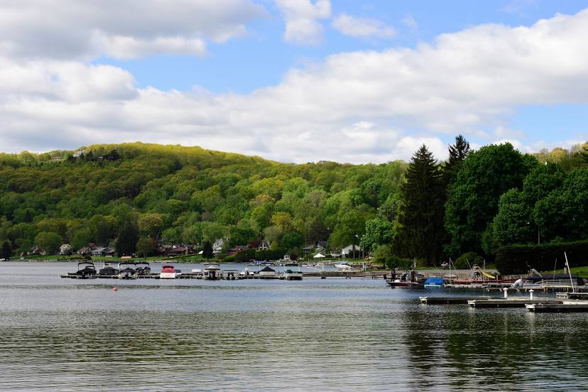
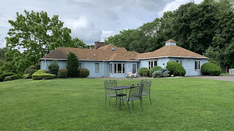
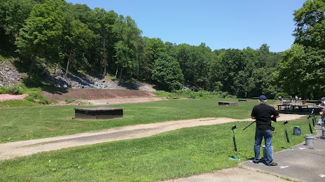
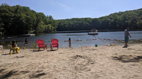
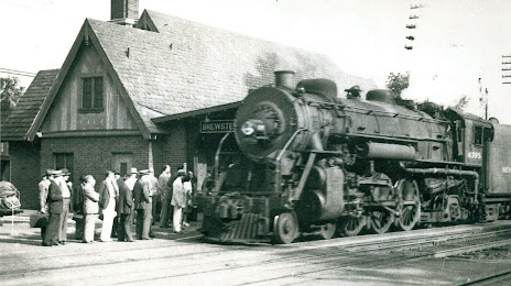
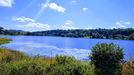
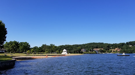
Attractions


Distance to the capital
Distance to the capital (Washington) is about — 411 km.