 Grandville
Lodi
Tewksbury
Rayne
Brockton
Santa Fe Springs
Matamoras
Southborough
Destin
Winslow
Champaign
Carmel-by-the-Sea
Apple Valley
Urbana
Crothersville
Thoreau
Martinsburg
Seymour
Kokomo
Grandville
Lodi
Tewksbury
Rayne
Brockton
Santa Fe Springs
Matamoras
Southborough
Destin
Winslow
Champaign
Carmel-by-the-Sea
Apple Valley
Urbana
Crothersville
Thoreau
Martinsburg
Seymour
Kokomo
Homestead on the map, United States
Where is located Homestead
Exact location — Homestead, Miami-Dade County, Florida, United States, marked on the map with a red marker.
Coordinates
Homestead, United States coordinates in decimal format: latitude — 25.4687224, longitude — -80.4775569. When converted to degrees, minutes, seconds Homestead has the following coordinates: 25°28′7.4 north latitude and -80°28′39.2 east longitude.
Population
Homestead, Miami-Dade County, Florida, United States, according to our data the population is — 35,379 residents, which is about 0% of the total population of the country (United States).
Comparison of the population on the graph:
Exact time
Time zone for this location Homestead — UTC -4 America/New_York. Exact time — wednesday, 4 april 2024 year, 07 h. 23 minutes.
Sunrise and sunset
Homestead, sunrise and sunset data for a date — wednesday 24.04.2024.
| Sunrise | Sunset | Day (duration) |
|---|---|---|
| 06:53 -0 minutes | 19:46 -0 minutes | 12 h. 54 minutes. -0 minutes |
You can control the scale of the map using the auxiliary tools to find out exactly where it is located Homestead. When you change the scale of the map, the width of the ruler also changes (in kilometers and miles).
Nearby cities
The largest cities that are located nearby:
- Miami — 43 km
- Hialeah — 47 km
- Miramar — 60 km
- Pembroke Pines — 62 km
- Hollywood — 68 km
- Fort Lauderdale — 80 km
- Coral Springs — 91 km
- Cape Coral — 189 km
- Port Saint Lucie — 200 km
- Matanzas
 (Cuba) — 290 km
 - Havana (Cuba) — 314 km
- Nassau
 (The Bahamas) — 317 km
 - Brandon — 325 km
- Saint Petersburg — 331 km
- Tampa — 336 km
- Santa Clara (Cuba) — 341 km
- Orlando — 350 km
- Clearwater — 357 km
- Ciego De Avila (Cuba) — 438 km
Distance to neighboring capitals:
- Belmopan
 (Belize) — 1253 km
 - Guatemala City
 (Guatemala) — 1599 km
 - Mexico City
 (Mexico) — 2029 km
 - Ottawa
 (Canada) — 2260 km
 - Nuuk
 (Greenland) — 4777 km
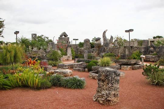
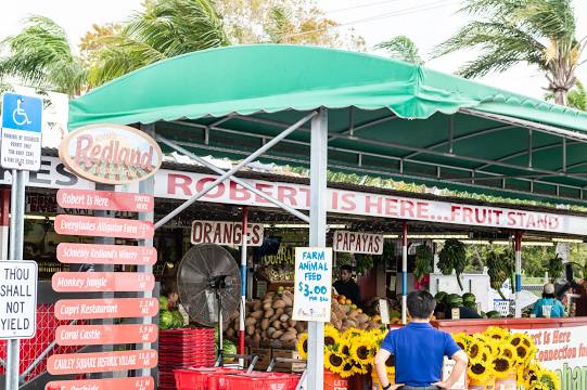
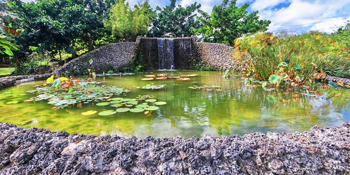
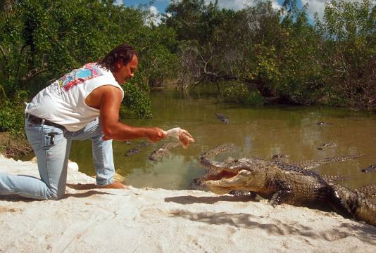
Attractions


Distance to the capital
Distance to the capital (Washington) is about — 1529 km.