 Tewksbury
Rayne
Brockton
Santa Fe Springs
Matamoras
Southborough
Destin
Rome
Provo
North Vernon
Paoli
Winslow
Champaign
Carmel-by-the-Sea
Apple Valley
Urbana
Crothersville
Thoreau
Martinsburg
Tewksbury
Rayne
Brockton
Santa Fe Springs
Matamoras
Southborough
Destin
Rome
Provo
North Vernon
Paoli
Winslow
Champaign
Carmel-by-the-Sea
Apple Valley
Urbana
Crothersville
Thoreau
Martinsburg
Monterey Park on the map, United States
Where is located Monterey Park
Exact location — Monterey Park, Los Angeles County, California, United States, marked on the map with a red marker.
Coordinates
Monterey Park, United States coordinates in decimal format: latitude — 34.0625106, longitude — -118.1228476. When converted to degrees, minutes, seconds Monterey Park has the following coordinates: 34°3′45.04 north latitude and -118°7′22.25 east longitude.
Population
Monterey Park, Los Angeles County, California, United States, according to our data the population is — 63,193 residents, which is about 0% of the total population of the country (United States).
Comparison of the population on the graph:
Exact time
Time zone for this location Monterey Park — UTC -7 America/Los_Angeles. Exact time — saturday, 4 april 2024 year, 06 h. 22 minutes.
Sunrise and sunset
Monterey Park, sunrise and sunset data for a date — saturday 20.04.2024.
| Sunrise | Sunset | Day (duration) |
|---|---|---|
| 06:17 -1 minute | 19:25 +1 minute | 13 h. 6 minutes. +2 minutes |
You can control the scale of the map using the auxiliary tools to find out exactly where it is located Monterey Park. When you change the scale of the map, the width of the ruler also changes (in kilometers and miles).
Nearby cities
The largest cities that are located nearby:
- East Los Angeles — 6 km
- El Monte — 9 km
- Pasadena — 10 km
- Los Angeles — 11 km
- Downey — 14 km
- Glendale — 15 km
- West Covina — 17 km
- Norwalk — 18 km
- Burbank — 21 km
- Universal City — 23 km
- Inglewood — 24 km
- Fullerton — 28 km
- Anaheim — 32 km
- Torrance — 32 km
- Long Beach — 33 km
- Pomona — 34 km
- Garden Grove — 36 km
- Orange — 39 km
- Santa Ana — 42 km
Distance to neighboring capitals:
- Mexico City
 (Mexico) — 2483 km
 - Belmopan
 (Belize) — 3466 km
 - Guatemala City
 (Guatemala) — 3514 km
 - Ottawa
 (Canada) — 3792 km
 - Nuuk
 (Greenland) — 5512 km
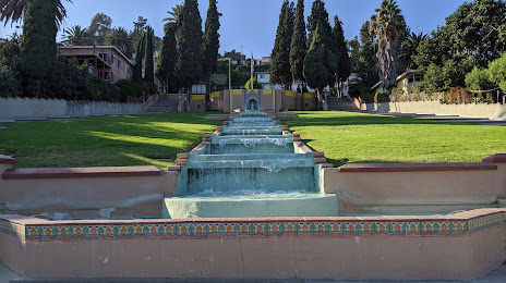
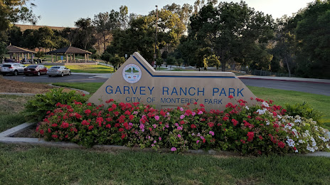
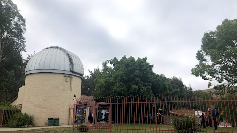
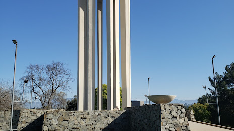
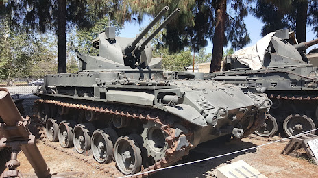
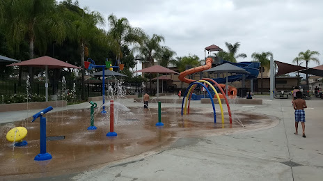
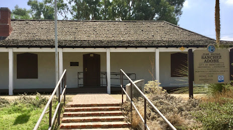
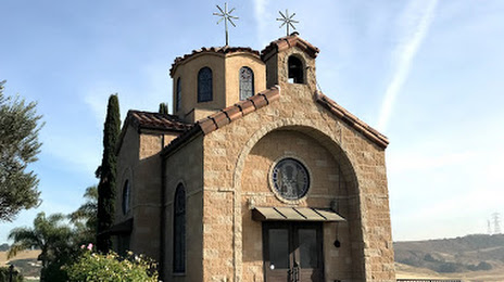
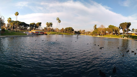
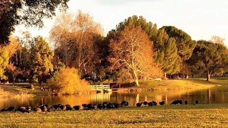
Attractions


Distance to the capital
Distance to the capital (Washington) is about — 3682 km.