 Rayne
Brockton
Santa Fe Springs
Matamoras
Southborough
Destin
Rome
Provo
Orem
Danbury
North Vernon
Paoli
Winslow
Champaign
Carmel-by-the-Sea
Apple Valley
Urbana
Crothersville
Thoreau
Rayne
Brockton
Santa Fe Springs
Matamoras
Southborough
Destin
Rome
Provo
Orem
Danbury
North Vernon
Paoli
Winslow
Champaign
Carmel-by-the-Sea
Apple Valley
Urbana
Crothersville
Thoreau
Mill Valley on the map, United States
Where is located Mill Valley
Exact location — Mill Valley, Marin County, California, United States, marked on the map with a red marker.
Coordinates
Mill Valley, United States coordinates in decimal format: latitude — 37.9060368, longitude — -122.5449763. When converted to degrees, minutes, seconds Mill Valley has the following coordinates: 37°54′21.73 north latitude and -122°32′41.91 east longitude.
Population
Mill Valley, Marin County, California, United States, according to our data the population is — 13,219 residents, which is about 0% of the total population of the country (United States).
Comparison of the population on the graph:
Exact time
Time zone for this location Mill Valley — UTC -7 America/Los_Angeles. Exact time — thursday, 4 april 2024 year, 01 h. 20 minutes.
Sunrise and sunset
Mill Valley, sunrise and sunset data for a date — thursday 18.04.2024.
| Sunrise | Sunset | Day (duration) |
|---|---|---|
| 06:32 -1 minute | 19:46 +1 minute | 13 h. 12 minutes. +2 minutes |
You can control the scale of the map using the auxiliary tools to find out exactly where it is located Mill Valley. When you change the scale of the map, the width of the ruler also changes (in kilometers and miles).
Nearby cities
The largest cities that are located nearby:
- Richmond — 17 km
- San Francisco — 18 km
- Berkeley — 24 km
- Oakland — 26 km
- Vallejo — 33 km
- Concord — 45 km
- Hayward — 48 km
- Fairfield — 58 km
- Santa Rosa — 61 km
- Fremont — 63 km
- Sunnyvale — 74 km
- Santa Clara — 80 km
- San Jose — 85 km
- Stockton — 109 km
- Sacramento — 118 km
- Modesto — 139 km
- Roseville — 143 km
- Salinas — 157 km
- Fresno — 277 km
Distance to neighboring capitals:
- Mexico City
 (Mexico) — 3056 km
 - Ottawa
 (Canada) — 3924 km
 - Belmopan
 (Belize) — 4009 km
 - Guatemala City
 (Guatemala) — 4075 km
 - Nuuk
 (Greenland) — 5366 km
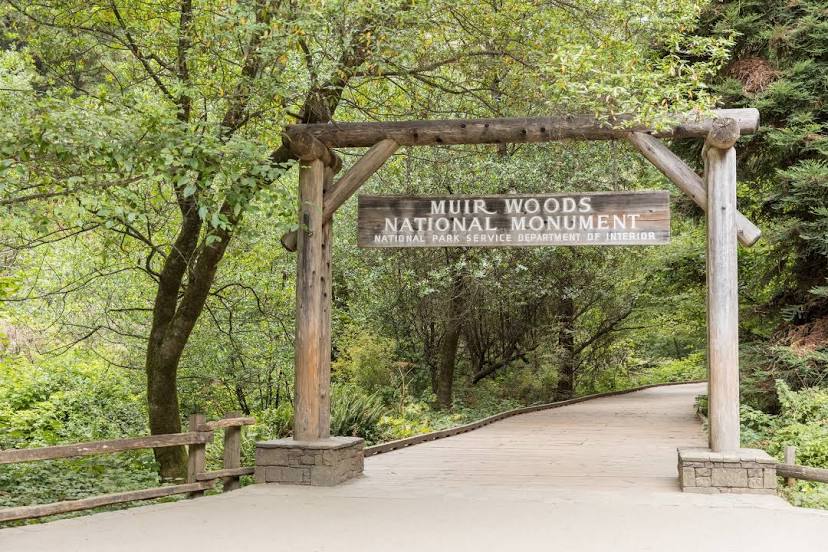
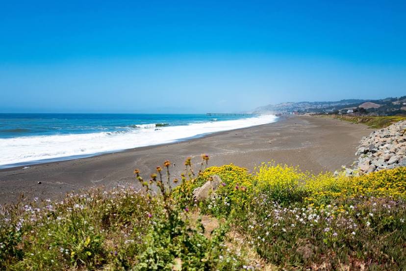
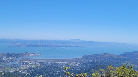
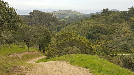
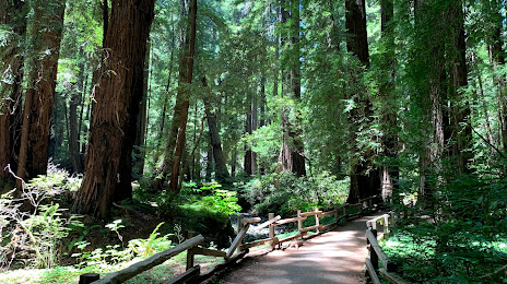
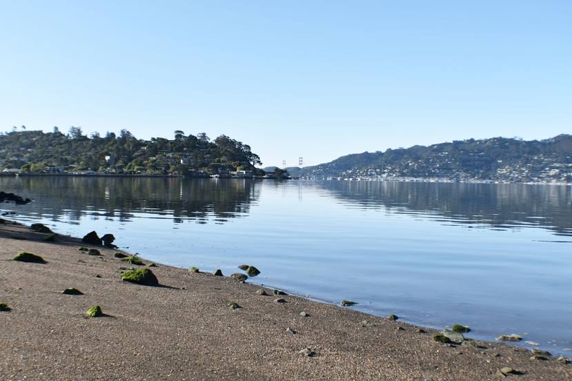
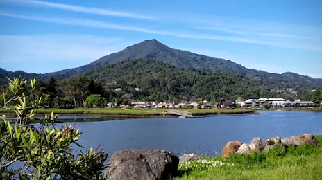
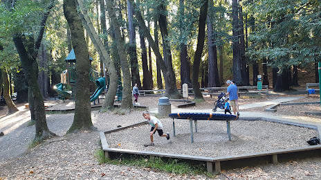
Attractions


Distance to the capital
Distance to the capital (Washington) is about — 3926 km.