 Towson
Cambridge
Rosedale
Overlea
Yountville
Moreno Valley
Dunkirk
Madison
Owings Mills
Bellefontaine
Lewis Center
Suisun City
Mill Valley
Monterey Park
Kinder
Homestead
Lafayette
Dickinson
Frankton
Towson
Cambridge
Rosedale
Overlea
Yountville
Moreno Valley
Dunkirk
Madison
Owings Mills
Bellefontaine
Lewis Center
Suisun City
Mill Valley
Monterey Park
Kinder
Homestead
Lafayette
Dickinson
Frankton
Santa Fe Springs on the map, United States
Where is located Santa Fe Springs
Exact location — Santa Fe Springs, Los Angeles County, California, United States, marked on the map with a red marker.
Coordinates
Santa Fe Springs, United States coordinates in decimal format: latitude — 33.9472359, longitude — -118.0853451. When converted to degrees, minutes, seconds Santa Fe Springs has the following coordinates: 33°56′50.05 north latitude and -118°5′7.24 east longitude.
Population
Santa Fe Springs, Los Angeles County, California, United States, according to our data the population is — 16,330 residents, which is about 0% of the total population of the country (United States).
Comparison of the population on the graph:
Exact time
Time zone for this location Santa Fe Springs — UTC -7 America/Los_Angeles. Exact time — friday, 4 april 2024 year, 23 h. 46 minutes.
Sunrise and sunset
Santa Fe Springs, sunrise and sunset data for a date — friday 19.04.2024.
| Sunrise | Sunset | Day (duration) |
|---|---|---|
| 06:18 -1 minute | 19:24 +1 minute | 13 h. 6 minutes. +2 minutes |
You can control the scale of the map using the auxiliary tools to find out exactly where it is located Santa Fe Springs. When you change the scale of the map, the width of the ruler also changes (in kilometers and miles).
Nearby cities
The largest cities that are located nearby:
- Downey — 4 km
- Norwalk — 5 km
- East Los Angeles — 11 km
- El Monte — 14 km
- Fullerton — 17 km
- Los Angeles — 19 km
- West Covina — 19 km
- Anaheim — 20 km
- Long Beach — 22 km
- Pasadena — 23 km
- Garden Grove — 23 km
- Inglewood — 25 km
- Torrance — 27 km
- Glendale — 27 km
- Orange — 28 km
- Santa Ana — 30 km
- Universal City — 32 km
- Huntington Beach — 33 km
- Pomona — 33 km
Distance to neighboring capitals:
- Mexico City
 (Mexico) — 2473 km
 - Belmopan
 (Belize) — 3458 km
 - Guatemala City
 (Guatemala) — 3504 km
 - Ottawa
 (Canada) — 3796 km
 - Nuuk
 (Greenland) — 5521 km
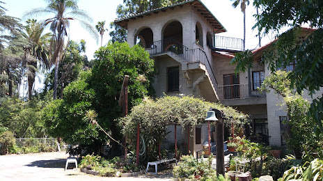
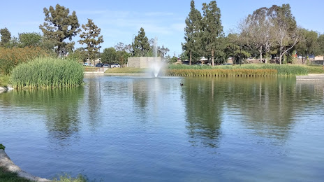
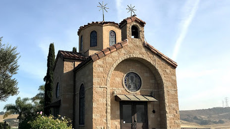
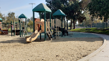
Attractions


Distance to the capital
Distance to the capital (Washington) is about — 3683 km.