 Madison
Owings Mills
Jessup
Edgewater
Aberdeen
Laguna Beach
Saint Anthony
Ocean City
Sykesville
Lodi
Grandville
Framingham
Munster
Dover
Exeter
La Mesa
Bellefontaine
Lewis Center
Suisun City
Madison
Owings Mills
Jessup
Edgewater
Aberdeen
Laguna Beach
Saint Anthony
Ocean City
Sykesville
Lodi
Grandville
Framingham
Munster
Dover
Exeter
La Mesa
Bellefontaine
Lewis Center
Suisun City
Paramus on the map, United States
Where is located Paramus
Exact location — Paramus, Bergen County, New Jersey, United States, marked on the map with a red marker.
Coordinates
Paramus, United States coordinates in decimal format: latitude — 40.9445428, longitude — -74.0754189. When converted to degrees, minutes, seconds Paramus has the following coordinates: 40°56′40.35 north latitude and -74°4′31.51 east longitude.
Population
Paramus, Bergen County, New Jersey, United States, according to our data the population is — 26,947 residents, which is about 0% of the total population of the country (United States).
Comparison of the population on the graph:
Exact time
Time zone for this location Paramus — UTC -4 America/New_York. Exact time — friday, 4 april 2024 year, 22 h. 12 minutes.
Sunrise and sunset
Paramus, sunrise and sunset data for a date — friday 19.04.2024.
| Sunrise | Sunset | Day (duration) |
|---|---|---|
| 06:13 -1 minute | 19:37 +1 minute | 13 h. 24 minutes. +2 minutes |
You can control the scale of the map using the auxiliary tools to find out exactly where it is located Paramus. When you change the scale of the map, the width of the ruler also changes (in kilometers and miles).
Nearby cities
The largest cities that are located nearby:
- Paterson — 9 km
- Yonkers — 15 km
- Newark — 24 km
- New York — 26 km
- Brooklyn — 28 km
- Elizabeth — 33 km
- Stamford — 46 km
- Edison — 55 km
- Bridgeport — 78 km
- New Haven — 103 km
- Waterbury — 109 km
- Toms River — 110 km
- Allentown — 124 km
- Philadelphia — 143 km
- Hartford — 146 km
- Springfield — 177 km
- Amherst — 201 km
- Worcester — 236 km
- Providence — 240 km
Distance to neighboring capitals:
- Ottawa
 (Canada) — 515 km
 - Nuuk
 (Greenland) — 2957 km
 - Belmopan
 (Belize) — 2987 km
 - Guatemala City
 (Guatemala) — 3333 km
 - Mexico City
 (Mexico) — 3371 km
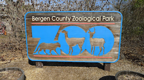
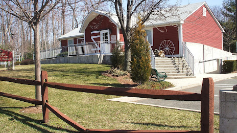
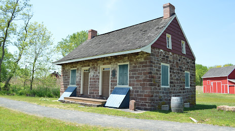
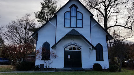
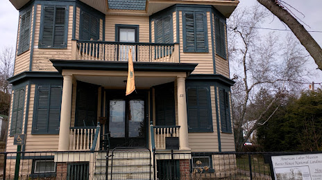
Attractions


Distance to the capital
Distance to the capital (Washington) is about — 339 km.