 Jessup
Edgewater
Aberdeen
Laguna Beach
Saint Anthony
Ocean City
Sykesville
Taneytown
Brierfield
Rayne
Tewksbury
Lodi
Grandville
Framingham
Munster
Dover
Exeter
La Mesa
Bellefontaine
Jessup
Edgewater
Aberdeen
Laguna Beach
Saint Anthony
Ocean City
Sykesville
Taneytown
Brierfield
Rayne
Tewksbury
Lodi
Grandville
Framingham
Munster
Dover
Exeter
La Mesa
Bellefontaine
Denton on the map, United States
Where is located Denton
Exact location — Denton, Denton County, Texas, United States, marked on the map with a red marker.
Coordinates
Denton, United States coordinates in decimal format: latitude — 33.2148412, longitude — -97.1330683. When converted to degrees, minutes, seconds Denton has the following coordinates: 33°12′53.43 north latitude and -97°7′59.05 east longitude.
Population
Denton, Denton County, Texas, United States, according to our data the population is — 100,975 residents, which is about 0% of the total population of the country (United States).
Comparison of the population on the graph:
Exact time
Time zone for this location Denton — UTC -5 America/Chicago. Exact time — wednesday, 4 april 2024 year, 12 h. 03 minutes.
Sunrise and sunset
Denton, sunrise and sunset data for a date — wednesday 24.04.2024.
| Sunrise | Sunset | Day (duration) |
|---|---|---|
| 06:49 -1 minute | 20:03 +1 minute | 13 h. 12 minutes. +2 minutes |
You can control the scale of the map using the auxiliary tools to find out exactly where it is located Denton. When you change the scale of the map, the width of the ruler also changes (in kilometers and miles).
Nearby cities
The largest cities that are located nearby:
- Frisco — 30 km
- Carrollton — 35 km
- Plano — 46 km
- Irving — 48 km
- Richardson — 48 km
- Arlington — 53 km
- Grand Prairie — 53 km
- Fort Worth — 54 km
- Garland — 57 km
- Dallas — 58 km
- Mesquite — 70 km
- Wichita Falls — 147 km
- Waco — 184 km
- Norman — 224 km
- Killeen — 239 km
- Oklahoma City — 251 km
- Abilene — 257 km
- Shreveport — 324 km
- Austin — 331 km
Distance to neighboring capitals:
- Mexico City
 (Mexico) — 1546 km
 - Belmopan
 (Belize) — 1963 km
 - Guatemala City
 (Guatemala) — 2174 km
 - Ottawa
 (Canada) — 2278 km
 - Nuuk
 (Greenland) — 4615 km
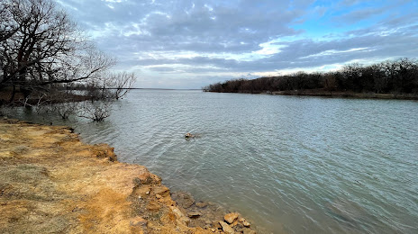
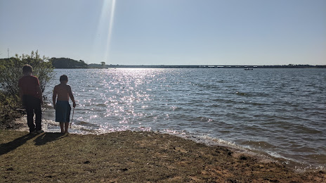
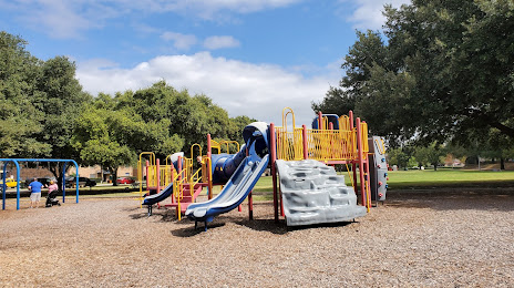
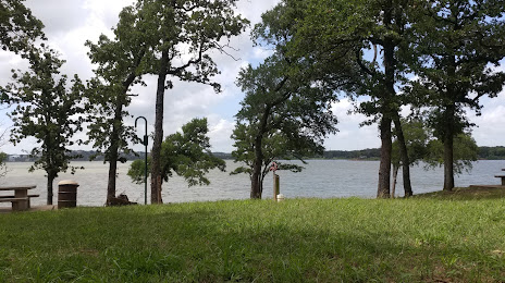
Attractions


Distance to the capital
Distance to the capital (Washington) is about — 1910 km.