 Laguna Beach
Saint Anthony
Ocean City
Sykesville
Taneytown
Brierfield
Jacksonville Beach
Manchester
Littleton
Matamoras
Santa Fe Springs
Brockton
Rayne
Tewksbury
Lodi
Grandville
Framingham
Munster
Dover
Laguna Beach
Saint Anthony
Ocean City
Sykesville
Taneytown
Brierfield
Jacksonville Beach
Manchester
Littleton
Matamoras
Santa Fe Springs
Brockton
Rayne
Tewksbury
Lodi
Grandville
Framingham
Munster
Dover
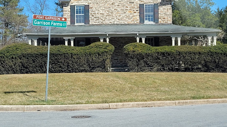
Towson on the map, United States
Where is located Towson
Exact location — Towson, Baltimore County, Maryland, United States, marked on the map with a red marker.
Coordinates
Towson, United States coordinates in decimal format: latitude — 39.4014955, longitude — -76.6019125. When converted to degrees, minutes, seconds Towson has the following coordinates: 39°24′5.38 north latitude and -76°36′6.88 east longitude.
Population
Towson, Baltimore County, Maryland, United States, according to our data the population is — 53,749 residents, which is about 0% of the total population of the country (United States).
Comparison of the population on the graph:
Exact time
Time zone for this location Towson — UTC -4 America/New_York. Exact time — thursday, 4 april 2024 year, 15 h. 05 minutes.
Sunrise and sunset
Towson, sunrise and sunset data for a date — thursday 25.04.2024.
| Sunrise | Sunset | Day (duration) |
|---|---|---|
| 06:17 -1 minute | 19:51 +1 minute | 13 h. 36 minutes. +2 minutes |
You can control the scale of the map using the auxiliary tools to find out exactly where it is located Towson. When you change the scale of the map, the width of the ruler also changes (in kilometers and miles).
Nearby cities
The largest cities that are located nearby:
- Baltimore — 12 km
- Alexandria — 76 km
- Philadelphia — 136 km
- Allentown — 163 km
- Toms River — 213 km
- Richmond — 218 km
- Edison — 222 km
- Elizabeth — 244 km
- Newark — 251 km
- Brooklyn — 261 km
- New York — 261 km
- Hampton — 263 km
- Paterson — 263 km
- Yonkers — 282 km
- Norfolk — 283 km
- Virginia Beach — 287 km
- Chesapeake — 292 km
- Pittsburgh — 308 km
- Stamford — 314 km
Distance to neighboring capitals:
- Ottawa
 (Canada) — 674 km
 - Belmopan
 (Belize) — 2730 km
 - Guatemala City
 (Guatemala) — 3075 km
 - Mexico City
 (Mexico) — 3097 km
 - Nuuk
 (Greenland) — 3197 km
Attractions


Distance to the capital
Distance to the capital (Washington) is about — 67 km.