 Brierfield
Jacksonville Beach
Manchester
Littleton
Fitchburg
Grand Rivers
Clark County
West Yellowstone
Helena
Orem
Provo
Rome
Destin
Southborough
Matamoras
Santa Fe Springs
Brockton
Rayne
Tewksbury
Brierfield
Jacksonville Beach
Manchester
Littleton
Fitchburg
Grand Rivers
Clark County
West Yellowstone
Helena
Orem
Provo
Rome
Destin
Southborough
Matamoras
Santa Fe Springs
Brockton
Rayne
Tewksbury
Moreno Valley on the map, United States
Where is located Moreno Valley
Exact location — Moreno Valley, Riverside County, California, United States, marked on the map with a red marker.
Coordinates
Moreno Valley, United States coordinates in decimal format: latitude — 33.9424658, longitude — -117.2296717. When converted to degrees, minutes, seconds Moreno Valley has the following coordinates: 33°56′32.88 north latitude and -117°13′46.82 east longitude.
Population
Moreno Valley, Riverside County, California, United States, according to our data the population is — 168,629 residents, which is about 0.1% of the total population of the country (United States).
Comparison of the population on the graph:
Exact time
Time zone for this location Moreno Valley — UTC -7 America/Los_Angeles. Exact time — friday, 4 april 2024 year, 08 h. 20 minutes.
Sunrise and sunset
Moreno Valley, sunrise and sunset data for a date — friday 19.04.2024.
| Sunrise | Sunset | Day (duration) |
|---|---|---|
| 06:14 -2 minutes | 19:20 -0 minutes | 13 h. 6 minutes. +2 minutes |
You can control the scale of the map using the auxiliary tools to find out exactly where it is located Moreno Valley. When you change the scale of the map, the width of the ruler also changes (in kilometers and miles).
Nearby cities
The largest cities that are located nearby:
- Riverside — 15 km
- San Bernardino — 19 km
- Rialto — 22 km
- Fontana — 25 km
- Corona — 32 km
- Rancho Cucamonga — 38 km
- Ontario — 41 km
- Pomona — 49 km
- Irvine — 59 km
- Orange — 60 km
- Santa Ana — 63 km
- Anaheim — 64 km
- Fullerton — 64 km
- West Covina — 66 km
- Garden Grove — 68 km
- Costa Mesa — 72 km
- El Monte — 74 km
- Huntington Beach — 77 km
- Norwalk — 78 km
Distance to neighboring capitals:
- Mexico City
 (Mexico) — 2409 km
 - Belmopan
 (Belize) — 3386 km
 - Guatemala City
 (Guatemala) — 3437 km
 - Ottawa
 (Canada) — 3729 km
 - Nuuk
 (Greenland) — 5480 km
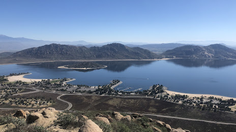
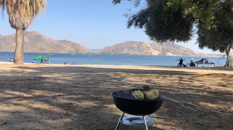
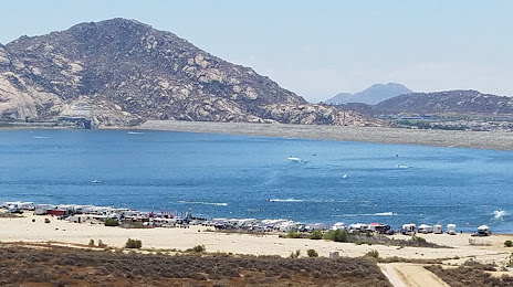
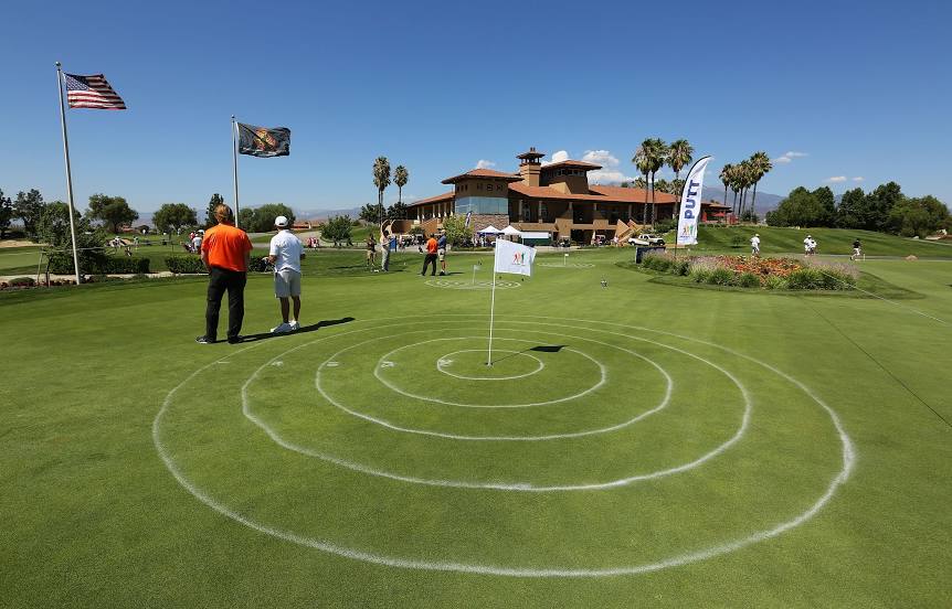
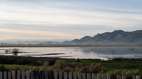
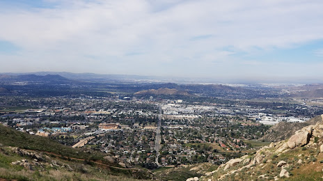
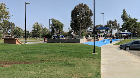
Attractions

Distance to the capital
Distance to the capital (Washington) is about — 3610 km.