 Roswell
Natick
Fernandina Beach
Maitland
Lehi
West Jordan
Hartford
Lake Forest
Wallsburg
Taneytown
Sykesville
Ocean City
Saint Anthony
Laguna Beach
Aberdeen
Edgewater
Jessup
Owings Mills
Madison
Roswell
Natick
Fernandina Beach
Maitland
Lehi
West Jordan
Hartford
Lake Forest
Wallsburg
Taneytown
Sykesville
Ocean City
Saint Anthony
Laguna Beach
Aberdeen
Edgewater
Jessup
Owings Mills
Madison
North Augusta on the map, United States
Where is located North Augusta
Exact location — North Augusta, Aiken County, South Carolina, United States, marked on the map with a red marker.
Coordinates
North Augusta, United States coordinates in decimal format: latitude — 33.5018026, longitude — -81.9651152. When converted to degrees, minutes, seconds North Augusta has the following coordinates: 33°30′6.49 north latitude and -81°57′54.41 east longitude.
Population
North Augusta, Aiken County, South Carolina, United States, according to our data the population is — 19,030 residents, which is about 0% of the total population of the country (United States).
Comparison of the population on the graph:
Exact time
Time zone for this location North Augusta — UTC -4 America/New_York. Exact time — friday, 4 april 2024 year, 23 h. 03 minutes.
Sunrise and sunset
North Augusta, sunrise and sunset data for a date — friday 19.04.2024.
| Sunrise | Sunset | Day (duration) |
|---|---|---|
| 06:54 -1 minute | 19:59 +1 minute | 13 h. 6 minutes. +2 minutes |
You can control the scale of the map using the auxiliary tools to find out exactly where it is located North Augusta. When you change the scale of the map, the width of the ruler also changes (in kilometers and miles).
Nearby cities
The largest cities that are located nearby:
- Columbia — 102 km
- Savannah — 177 km
- Charleston — 205 km
- Charlotte — 216 km
- Atlanta — 224 km
- Knoxville — 323 km
- Winston-Salem — 326 km
- Fayetteville — 328 km
- Greensboro — 344 km
- Chattanooga — 348 km
- Jacksonville — 352 km
- Cary — 382 km
- Durham — 389 km
- Raleigh — 390 km
- Tallahassee — 404 km
- Montgomery — 424 km
- Gainesville — 427 km
- Huntsville — 441 km
- Birmingham — 446 km
Distance to neighboring capitals:
- Ottawa
 (Canada) — 1430 km
 - Belmopan
 (Belize) — 1931 km
 - Guatemala City
 (Guatemala) — 2272 km
 - Mexico City
 (Mexico) — 2311 km
 - Nuuk
 (Greenland) — 3986 km
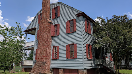
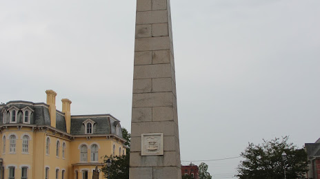
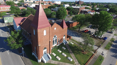
Attractions


Distance to the capital
Distance to the capital (Washington) is about — 746 km.