 Gardiner
Middletown
Libertyville
Clay
Cassville
Riverton
Mount Vernon
Norwalk
Boyce
Methuen
Whitewater
Winterville
North Augusta
Chattanooga
Helena
West Yellowstone
Clark County
Grand Rivers
Fitchburg
Gardiner
Middletown
Libertyville
Clay
Cassville
Riverton
Mount Vernon
Norwalk
Boyce
Methuen
Whitewater
Winterville
North Augusta
Chattanooga
Helena
West Yellowstone
Clark County
Grand Rivers
Fitchburg
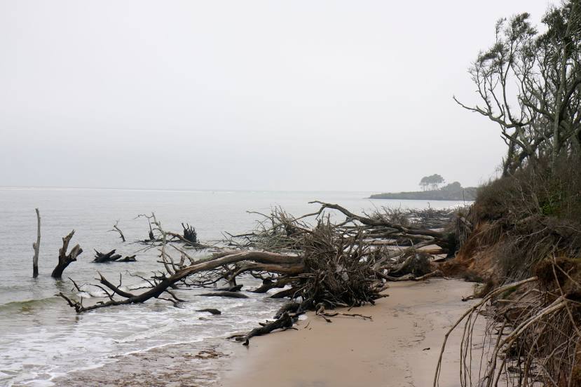
Fernandina Beach on the map, United States
Where is located Fernandina Beach
Exact location — Fernandina Beach, Nassau County, Florida, United States, marked on the map with a red marker.
Coordinates
Fernandina Beach, United States coordinates in decimal format: latitude — 30.6696818, longitude — -81.4625919. When converted to degrees, minutes, seconds Fernandina Beach has the following coordinates: 30°40′10.85 north latitude and -81°27′45.33 east longitude.
Population
Fernandina Beach, Nassau County, Florida, United States, according to our data the population is — 11,257 residents, which is about 0% of the total population of the country (United States).
Comparison of the population on the graph:
Exact time
Time zone for this location Fernandina Beach — UTC -4 America/New_York. Exact time — saturday, 4 april 2024 year, 03 h. 42 minutes.
Sunrise and sunset
Fernandina Beach, sunrise and sunset data for a date — saturday 20.04.2024.
| Sunrise | Sunset | Day (duration) |
|---|---|---|
| 06:54 -1 minute | 19:54 +1 minute | 13 h. 0 minutes. +2 minutes |
You can control the scale of the map using the auxiliary tools to find out exactly where it is located Fernandina Beach. When you change the scale of the map, the width of the ruler also changes (in kilometers and miles).
Nearby cities
The largest cities that are located nearby:
- Jacksonville — 42 km
- Gainesville — 140 km
- Savannah — 160 km
- Orlando — 236 km
- Tallahassee — 270 km
- Charleston — 273 km
- Brandon — 313 km
- Tampa — 316 km
- Clearwater — 326 km
- Saint Petersburg — 340 km
- Columbia — 370 km
- Port Saint Lucie — 391 km
- Atlanta — 434 km
- Cape Coral — 457 km
- Montgomery — 489 km
- Coral Springs — 500 km
- Charlotte — 507 km
- Fort Lauderdale — 520 km
- Pembroke Pines — 528 km
Distance to neighboring capitals:
- Belmopan
 (Belize) — 1666 km
 - Ottawa
 (Canada) — 1716 km
 - Guatemala City
 (Guatemala) — 2012 km
 - Mexico City
 (Mexico) — 2171 km
 - Nuuk
 (Greenland) — 4262 km
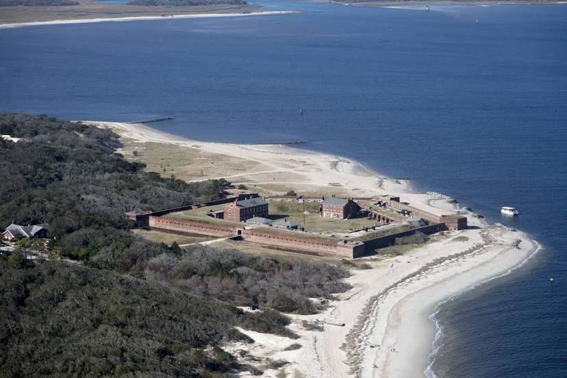
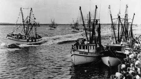
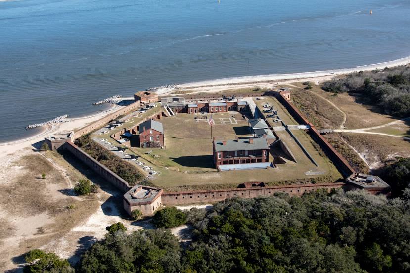
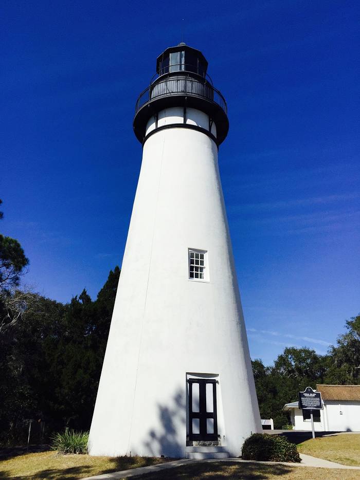
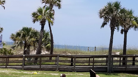
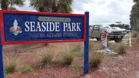
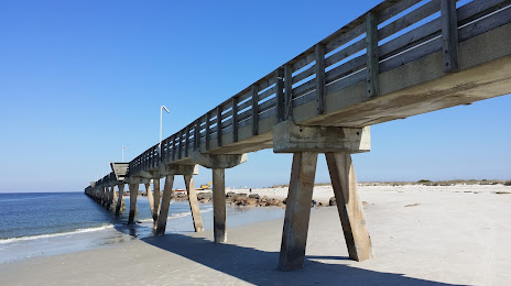
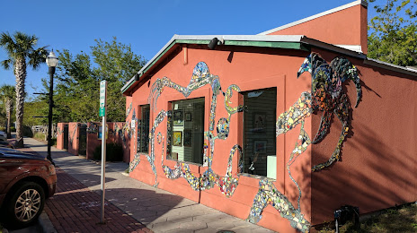
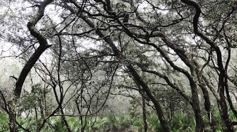
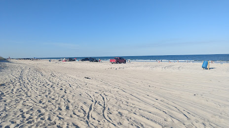
Attractions


Distance to the capital
Distance to the capital (Washington) is about — 1001 km.