 Clay
Cassville
Riverton
Mount Vernon
Norwalk
Boyce
Dahlonega
Tunica Resorts
Carlin
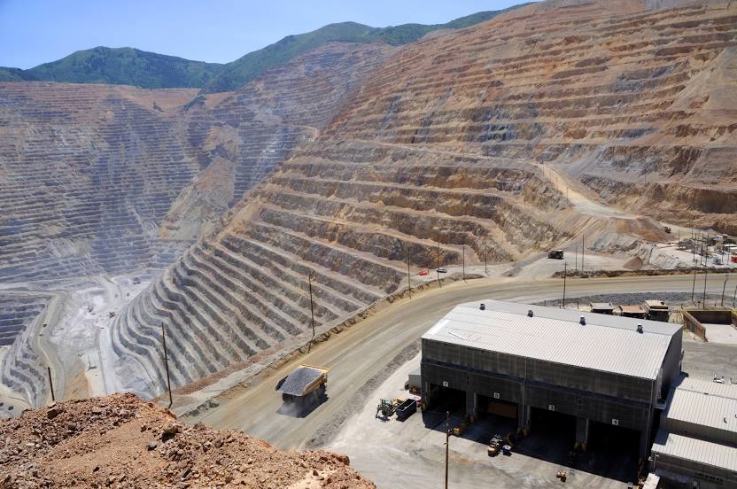
Woods Cross
Versailles
Hoopeston
Methuen
Whitewater
Winterville
North Augusta
Chattanooga
Helena
West Yellowstone
Clay
Cassville
Riverton
Mount Vernon
Norwalk
Boyce
Dahlonega
Tunica Resorts
Carlin
Woods Cross
Versailles
Hoopeston
Methuen
Whitewater
Winterville
North Augusta
Chattanooga
Helena
West Yellowstone
West Jordan on the map, United States
Where is located West Jordan
Exact location — West Jordan, Salt Lake County, Utah, United States, marked on the map with a red marker.
Coordinates
West Jordan, United States coordinates in decimal format: latitude — 40.6096698, longitude — -111.9391031. When converted to degrees, minutes, seconds West Jordan has the following coordinates: 40°36′34.81 north latitude and -111°56′20.77 east longitude.
Population
West Jordan, Salt Lake County, Utah, United States, according to our data the population is — 101,031 residents, which is about 0% of the total population of the country (United States).
Comparison of the population on the graph:
Exact time
Time zone for this location West Jordan — UTC -6 America/Denver. Exact time — thursday, 4 april 2024 year, 09 h. 35 minutes.
Sunrise and sunset
West Jordan, sunrise and sunset data for a date — thursday 25.04.2024.
| Sunrise | Sunset | Day (duration) |
|---|---|---|
| 06:36 -1 minute | 20:14 +1 minute | 13 h. 36 minutes. +2 minutes |
You can control the scale of the map using the auxiliary tools to find out exactly where it is located West Jordan. When you change the scale of the map, the width of the ruler also changes (in kilometers and miles).
Nearby cities
The largest cities that are located nearby:
- West Valley City — 10 km
- Salt Lake City — 17 km
- Provo — 48 km
- Boise — 477 km
- North Las Vegas — 564 km
- Las Vegas — 568 km
- Henderson — 574 km
- Fort Collins — 576 km
- Spring Valley — 579 km
- Arvada — 589 km
- Lakewood — 592 km
- Westminster — 592 km
- Thornton — 597 km
- Denver — 599 km
- Aurora — 612 km
- Colorado Springs — 644 km
- Reno — 682 km
- Pueblo — 688 km
- Peoria — 778 km
Distance to neighboring capitals:
- Mexico City
 (Mexico) — 2652 km
 - Ottawa
 (Canada) — 2970 km
 - Belmopan
 (Belize) — 3418 km
 - Guatemala City
 (Guatemala) — 3558 km
 - Nuuk
 (Greenland) — 4603 km
Attractions

Distance to the capital
Distance to the capital (Washington) is about — 2971 km.