 Dahlonega
Tunica Resorts
Carlin
Blackfoot
Twain Harte
Boxborough
Atkins
Pahrump
Muscle Shoals
Roswell
Lavina
Elko
Murfreesboro
Jordanville
Lodi
Woods Cross
Versailles
Hoopeston
Methuen
Dahlonega
Tunica Resorts
Carlin
Blackfoot
Twain Harte
Boxborough
Atkins
Pahrump
Muscle Shoals
Roswell
Lavina
Elko
Murfreesboro
Jordanville
Lodi
Woods Cross
Versailles
Hoopeston
Methuen
American Fork on the map, United States
Where is located American Fork
Exact location — American Fork, Utah County, Utah, United States, marked on the map with a red marker.
Coordinates
American Fork, United States coordinates in decimal format: latitude — 40.3768954, longitude — -111.7957645. When converted to degrees, minutes, seconds American Fork has the following coordinates: 40°22′36.82 north latitude and -111°47′44.75 east longitude.
Population
American Fork, Utah County, Utah, United States, according to our data the population is — 23,582 residents, which is about 0% of the total population of the country (United States).
Comparison of the population on the graph:
Exact time
Time zone for this location American Fork — UTC -6 America/Denver. Exact time — thursday, 4 april 2024 year, 13 h. 45 minutes.
Sunrise and sunset
American Fork, sunrise and sunset data for a date — thursday 25.04.2024.
| Sunrise | Sunset | Day (duration) |
|---|---|---|
| 06:36 -1 minute | 20:13 +1 minute | 13 h. 36 minutes. +2 minutes |
You can control the scale of the map using the auxiliary tools to find out exactly where it is located American Fork. When you change the scale of the map, the width of the ruler also changes (in kilometers and miles).
Nearby cities
The largest cities that are located nearby:
- Provo — 20 km
- West Jordan — 28 km
- West Valley City — 39 km
- Salt Lake City — 43 km
- Boise — 504 km
- North Las Vegas — 549 km
- Las Vegas — 553 km
- Henderson — 558 km
- Spring Valley — 564 km
- Fort Collins — 564 km
- Arvada — 573 km
- Lakewood — 576 km
- Westminster — 577 km
- Thornton — 582 km
- Denver — 583 km
- Aurora — 596 km
- Colorado Springs — 624 km
- Pueblo — 667 km
- Reno — 690 km
Distance to neighboring capitals:
- Mexico City
 (Mexico) — 2623 km
 - Ottawa
 (Canada) — 2968 km
 - Belmopan
 (Belize) — 3392 km
 - Guatemala City
 (Guatemala) — 3531 km
 - Nuuk
 (Greenland) — 4618 km
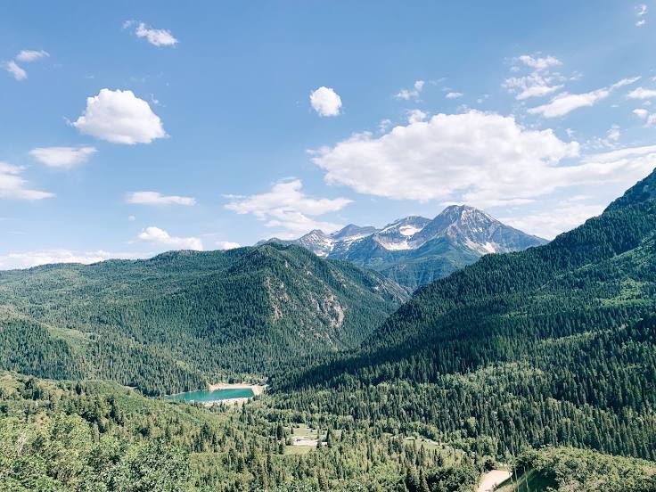
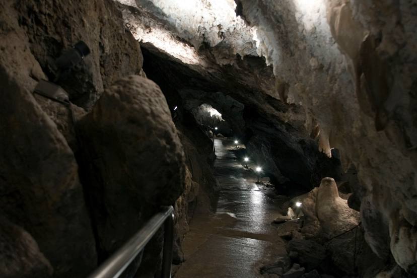
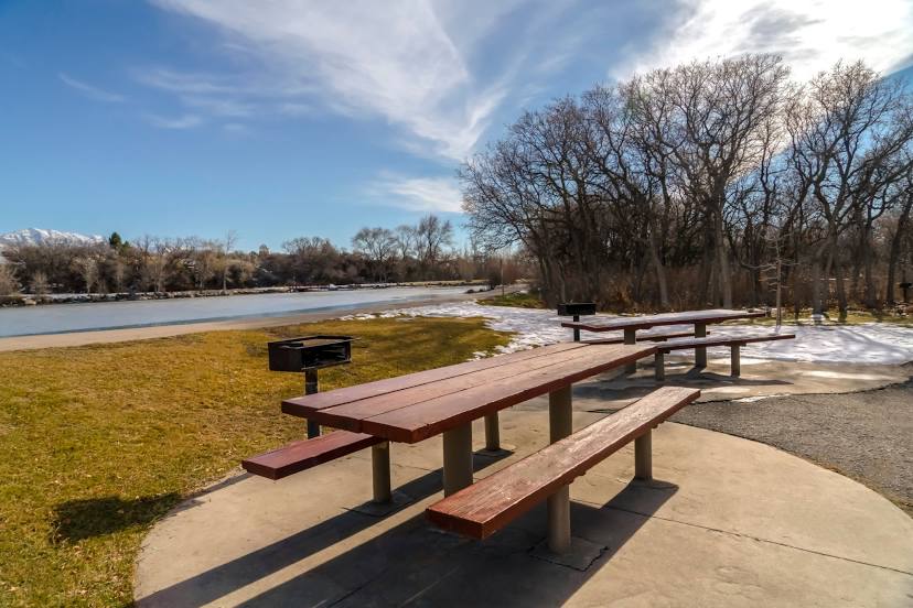
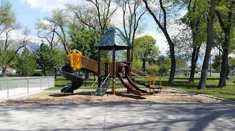
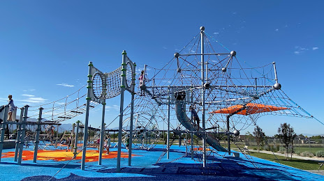
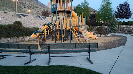
Attractions


Distance to the capital
Distance to the capital (Washington) is about — 2962 km.