 Carlin
Blackfoot
Twain Harte
Boxborough
Atkins
Pahrump
Muscle Shoals
Champlain
Winnemucca
Fernandina Beach
Natick
Roswell
Lavina
Elko
Murfreesboro
Jordanville
Lodi
Woods Cross
Versailles
Carlin
Blackfoot
Twain Harte
Boxborough
Atkins
Pahrump
Muscle Shoals
Champlain
Winnemucca
Fernandina Beach
Natick
Roswell
Lavina
Elko
Murfreesboro
Jordanville
Lodi
Woods Cross
Versailles
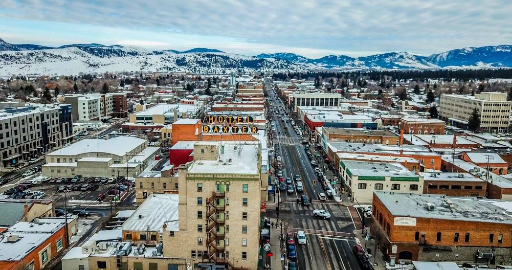
Bozeman on the map, United States
Where is located Bozeman
Exact location — Bozeman, Gallatin County, Montana, United States, marked on the map with a red marker.
Coordinates
Bozeman, United States coordinates in decimal format: latitude — 45.6769979, longitude — -111.0429339. When converted to degrees, minutes, seconds Bozeman has the following coordinates: 45°40′37.19 north latitude and -111°2′34.56 east longitude.
Population
Bozeman, Gallatin County, Montana, United States, according to our data the population is — 33,178 residents, which is about 0% of the total population of the country (United States).
Comparison of the population on the graph:
Exact time
Time zone for this location Bozeman — UTC -6 America/Denver. Exact time — tuesday, 4 april 2024 year, 23 h. 57 minutes.
Sunrise and sunset
Bozeman, sunrise and sunset data for a date — tuesday 23.04.2024.
| Sunrise | Sunset | Day (duration) |
|---|---|---|
| 06:26 -2 minutes | 20:18 +2 minutes | 13 h. 54 minutes. +4 minutes |
You can control the scale of the map using the auxiliary tools to find out exactly where it is located Bozeman. When you change the scale of the map, the width of the ruler also changes (in kilometers and miles).
Nearby cities
The largest cities that are located nearby:
- Boise — 472 km
- Spokane — 523 km
- Salt Lake City — 548 km
- West Valley City — 557 km
- West Jordan — 565 km
- Provo — 604 km
- Calgary
 (Canada) — 630 km
 - Regina (Canada) — 696 km
- Fort Collins — 753 km
- Kelowna (Canada) — 761 km
- Saskatoon (Canada) — 773 km
- Westminster — 823 km
- Arvada — 823 km
- Thornton — 823 km
- Lakewood — 833 km
- Denver — 834 km
- Aurora — 843 km
- Bellevue — 859 km
- Seattle — 868 km
Distance to neighboring capitals:
- Ottawa (Canada) — 2731 km
- Mexico City
 (Mexico) — 3117 km
 - Belmopan
 (Belize) — 3775 km
 - Guatemala City
 (Guatemala) — 3953 km
 - Nuuk
 (Greenland) — 4108 km
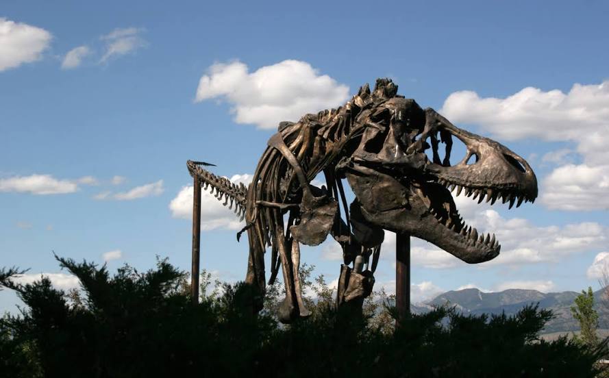
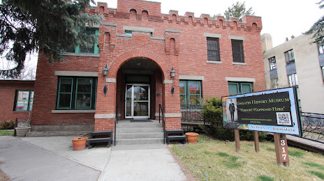
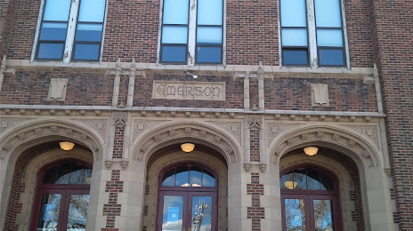
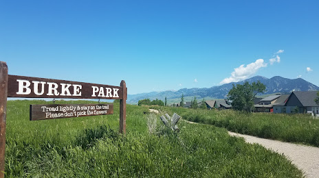
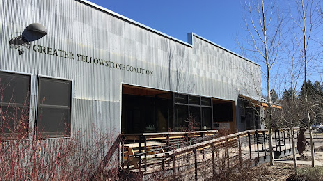
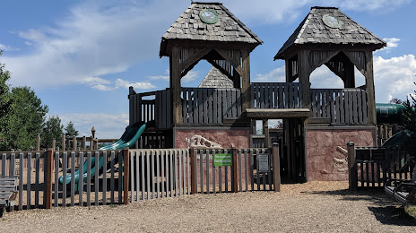
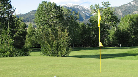
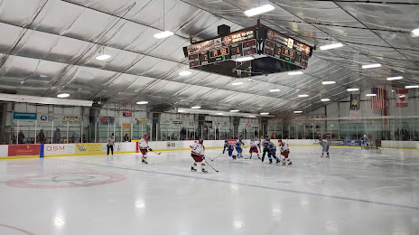
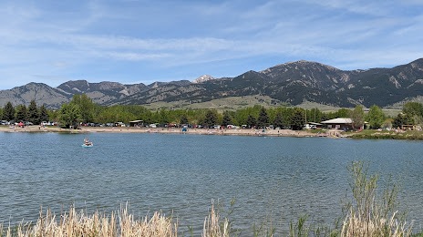
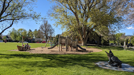
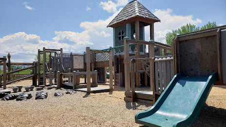
Attractions


Distance to the capital
Distance to the capital (Washington) is about — 2874 km.