 Boxborough
Atkins
Pahrump
Muscle Shoals
Champlain
Winnemucca
Hurricane
Woodbury
Mesquite
West Jordan
Lehi
Maitland
Fernandina Beach
Natick
Roswell
Lavina
Elko
Murfreesboro
Jordanville
Boxborough
Atkins
Pahrump
Muscle Shoals
Champlain
Winnemucca
Hurricane
Woodbury
Mesquite
West Jordan
Lehi
Maitland
Fernandina Beach
Natick
Roswell
Lavina
Elko
Murfreesboro
Jordanville
Libertyville on the map, United States
Where is located Libertyville
Exact location — Libertyville, Lake County, Illinois, United States, marked on the map with a red marker.
Coordinates
Libertyville, United States coordinates in decimal format: latitude — 42.2830786, longitude — -87.9531303. When converted to degrees, minutes, seconds Libertyville has the following coordinates: 42°16′59.08 north latitude and -87°57′11.27 east longitude.
Population
Libertyville, Lake County, Illinois, United States, according to our data the population is — 21,236 residents, which is about 0% of the total population of the country (United States).
Comparison of the population on the graph:
Exact time
Time zone for this location Libertyville — UTC -5 America/Chicago. Exact time — friday, 4 april 2024 year, 00 h. 01 minute.
Sunrise and sunset
Libertyville, sunrise and sunset data for a date — friday 19.04.2024.
| Sunrise | Sunset | Day (duration) |
|---|---|---|
| 06:06 -2 minutes | 19:35 +2 minutes | 13 h. 30 minutes. +4 minutes |
You can control the scale of the map using the auxiliary tools to find out exactly where it is located Libertyville. When you change the scale of the map, the width of the ruler also changes (in kilometers and miles).
Nearby cities
The largest cities that are located nearby:
- Chicago — 52 km
- Naperville — 61 km
- Aurora — 65 km
- Milwaukee — 84 km
- Joliet — 84 km
- Rockford — 93 km
- Madison — 146 km
- South Bend — 156 km
- Grand Rapids — 200 km
- Peoria — 223 km
- Green Bay — 247 km
- Fort Wayne — 270 km
- Lansing — 280 km
- Indianapolis — 317 km
- Ann Arbor — 344 km
- Flint — 354 km
- Toledo — 370 km
- Detroit — 401 km
- Windsor
 (Canada) — 402 km
Distance to neighboring capitals:
- Ottawa (Canada) — 1042 km
- Mexico City
 (Mexico) — 2751 km
 - Belmopan
 (Belize) — 2785 km
 - Guatemala City
 (Guatemala) — 3088 km
 - Nuuk
 (Greenland) — 3342 km
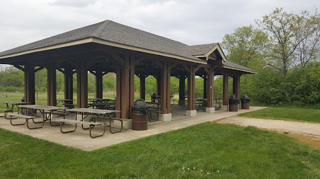
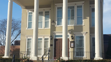
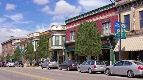
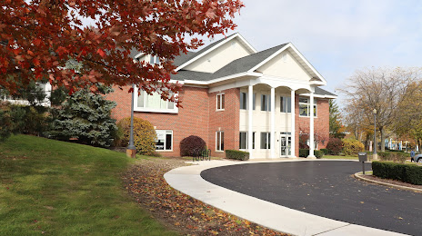
Attractions


Distance to the capital
Distance to the capital (Washington) is about — 995 km.