 Pendleton
Meridian
Hermiston
Kennewick
Lawrenceville
Kooskia
Pullman
Smyrna/Rutherford County Airport Authority
Kirkland
Riverton
Cassville
Clay
Libertyville
Middletown
Gardiner
Bozeman
Idaho Falls
American Fork
Arnold
Pendleton
Meridian
Hermiston
Kennewick
Lawrenceville
Kooskia
Pullman
Smyrna/Rutherford County Airport Authority
Kirkland
Riverton
Cassville
Clay
Libertyville
Middletown
Gardiner
Bozeman
Idaho Falls
American Fork
Arnold
Pahrump on the map, United States
Where is located Pahrump
Exact location — Pahrump, Nye County, Nevada, United States, marked on the map with a red marker.
Coordinates
Pahrump, United States coordinates in decimal format: latitude — 36.2082943, longitude — -115.9839147. When converted to degrees, minutes, seconds Pahrump has the following coordinates: 36°12′29.86 north latitude and -115°59′2.09 east longitude.
Population
Pahrump, Nye County, Nevada, United States, according to our data the population is — 40,349 residents, which is about 0% of the total population of the country (United States).
Comparison of the population on the graph:
Exact time
Time zone for this location Pahrump — UTC -7 America/Los_Angeles. Exact time — thursday, 4 april 2024 year, 14 h. 42 minutes.
Sunrise and sunset
Pahrump, sunrise and sunset data for a date — thursday 25.04.2024.
| Sunrise | Sunset | Day (duration) |
|---|---|---|
| 05:59 -1 minute | 19:23 +1 minute | 13 h. 24 minutes. +2 minutes |
You can control the scale of the map using the auxiliary tools to find out exactly where it is located Pahrump. When you change the scale of the map, the width of the ruler also changes (in kilometers and miles).
Nearby cities
The largest cities that are located nearby:
- Spring Valley — 67 km
- Las Vegas — 75 km
- North Las Vegas — 77 km
- Henderson — 92 km
- Lancaster — 259 km
- San Bernardino — 261 km
- Rialto — 265 km
- Palmdale — 265 km
- Fontana — 269 km
- Rancho Cucamonga — 275 km
- Moreno Valley — 275 km
- Riverside — 281 km
- Ontario — 282 km
- Pomona — 288 km
- Bakersfield — 289 km
- Visalia — 295 km
- Corona — 296 km
- West Covina — 297 km
- Pasadena — 302 km
Distance to neighboring capitals:
- Mexico City
 (Mexico) — 2488 km
 - Belmopan
 (Belize) — 3407 km
 - Guatemala City
 (Guatemala) — 3486 km
 - Ottawa
 (Canada) — 3502 km
 - Nuuk
 (Greenland) — 5206 km
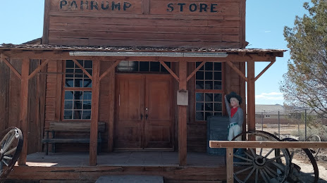
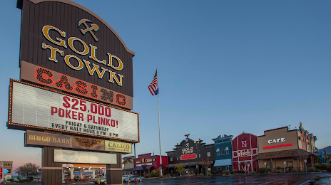
Attractions

Distance to the capital
Distance to the capital (Washington) is about — 3421 km.