 Belcamp
Saint Michaels
Venice
Rising Sun
Fort Yates
Cerritos
Mableton
Cleveland
Tallahassee
Hurricane
Winnemucca
Champlain
Muscle Shoals
Pahrump
Atkins
Boxborough
Twain Harte
Blackfoot
Carlin
Belcamp
Saint Michaels
Venice
Rising Sun
Fort Yates
Cerritos
Mableton
Cleveland
Tallahassee
Hurricane
Winnemucca
Champlain
Muscle Shoals
Pahrump
Atkins
Boxborough
Twain Harte
Blackfoot
Carlin
Kennewick on the map, United States
Where is located Kennewick
Exact location — Kennewick, Benton County, Washington, United States, marked on the map with a red marker.
Coordinates
Kennewick, United States coordinates in decimal format: latitude — 46.2112458, longitude — -119.1372338. When converted to degrees, minutes, seconds Kennewick has the following coordinates: 46°12′40.48 north latitude and -119°8′14.04 east longitude.
Population
Kennewick, Benton County, Washington, United States, according to our data the population is — 62,158 residents, which is about 0% of the total population of the country (United States).
Comparison of the population on the graph:
Exact time
Time zone for this location Kennewick — UTC -7 America/Los_Angeles. Exact time — saturday, 4 april 2024 year, 02 h. 29 minutes.
Sunrise and sunset
Kennewick, sunrise and sunset data for a date — saturday 20.04.2024.
| Sunrise | Sunset | Day (duration) |
|---|---|---|
| 06:02 -2 minutes | 19:47 +1 minute | 13 h. 48 minutes. +3 minutes |
You can control the scale of the map using the auxiliary tools to find out exactly where it is located Kennewick. When you change the scale of the map, the width of the ruler also changes (in kilometers and miles).
Nearby cities
The largest cities that are located nearby:
- Spokane — 205 km
- Tacoma — 274 km
- Bellevue — 276 km
- Vancouver — 280 km
- Seattle — 284 km
- Portland — 285 km
- Salem — 336 km
- Boise — 370 km
- Abbotsford
 (Canada) — 390 km
 - Eugene — 394 km
- Victoria (Canada) — 395 km
- Kelowna (Canada) — 407 km
- Surrey (Canada) — 424 km
- Delta (Canada) — 425 km
- Coquitlam (Canada) — 430 km
- Anmore (Canada) — 435 km
- Richmond (Canada) — 436 km
- Burnaby (Canada) — 436 km
- Calgary (Canada) — 640 km
Distance to neighboring capitals:
- Ottawa (Canada) — 3326 km
- Mexico City
 (Mexico) — 3495 km
 - Belmopan
 (Belize) — 4265 km
 - Guatemala City
 (Guatemala) — 4409 km
 - Nuuk
 (Greenland) — 4453 km
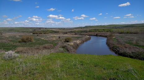
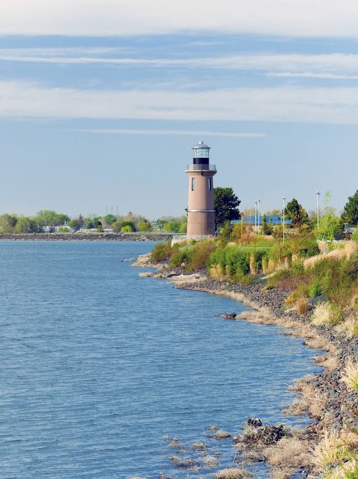
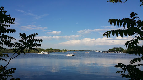
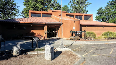
Attractions


Distance to the capital
Distance to the capital (Washington) is about — 3500 km.