 Cerritos
Mableton
Cleveland
Tallahassee
Newberry
Rincon
Midway Airport
Valdosta
Wexford
Grangeville
Cedar Park
Foothill Ranch
Mesquite
Woodbury
Hurricane
Winnemucca
Champlain
Muscle Shoals
Pahrump
Cerritos
Mableton
Cleveland
Tallahassee
Newberry
Rincon
Midway Airport
Valdosta
Wexford
Grangeville
Cedar Park
Foothill Ranch
Mesquite
Woodbury
Hurricane
Winnemucca
Champlain
Muscle Shoals
Pahrump
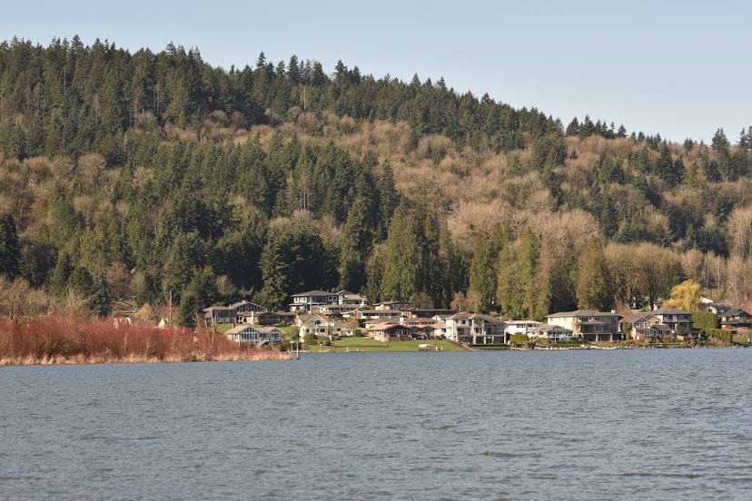
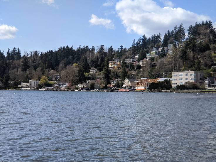
Kirkland on the map, United States
Where is located Kirkland
Exact location — Kirkland, King County, Washington, United States, marked on the map with a red marker.
Coordinates
Kirkland, United States coordinates in decimal format: latitude — 47.6814875, longitude — -122.2087353. When converted to degrees, minutes, seconds Kirkland has the following coordinates: 47°40′53.36 north latitude and -122°12′31.45 east longitude.
Population
Kirkland, King County, Washington, United States, according to our data the population is — 45,778 residents, which is about 0% of the total population of the country (United States).
Comparison of the population on the graph:
Exact time
Time zone for this location Kirkland — UTC -7 America/Los_Angeles. Exact time — friday, 4 april 2024 year, 12 h. 02 minutes.
Sunrise and sunset
Kirkland, sunrise and sunset data for a date — friday 19.04.2024.
| Sunrise | Sunset | Day (duration) |
|---|---|---|
| 06:14 -2 minutes | 20:01 +2 minutes | 13 h. 48 minutes. +4 minutes |
You can control the scale of the map using the auxiliary tools to find out exactly where it is located Kirkland. When you change the scale of the map, the width of the ruler also changes (in kilometers and miles).
Nearby cities
The largest cities that are located nearby:
- Bellevue — 8 km
- Seattle — 12 km
- Tacoma — 51 km
- Victoria
 (Canada) — 118 km
 - Abbotsford (Canada) — 152 km
- Delta (Canada) — 167 km
- Surrey (Canada) — 172 km
- Richmond (Canada) — 177 km
- Coquitlam (Canada) — 182 km
- Burnaby (Canada) — 184 km
- Anmore (Canada) — 186 km
- Vancouver (Canada) — 189 km
- Portland — 241 km
- Salem — 310 km
- Kelowna (Canada) — 311 km
- Spokane — 356 km
- Eugene — 407 km
- Boise — 657 km
- Calgary (Canada) — 677 km
Distance to neighboring capitals:
- Ottawa (Canada) — 3513 km
- Mexico City
 (Mexico) — 3770 km
 - Nuuk
 (Greenland) — 4473 km
 - Belmopan
 (Belize) — 4550 km
 - Guatemala City
 (Guatemala) — 4692 km
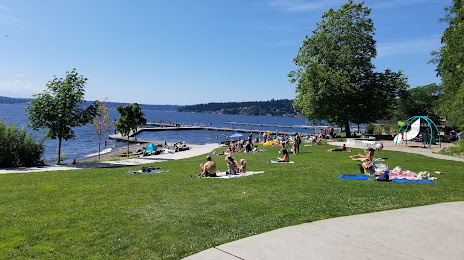
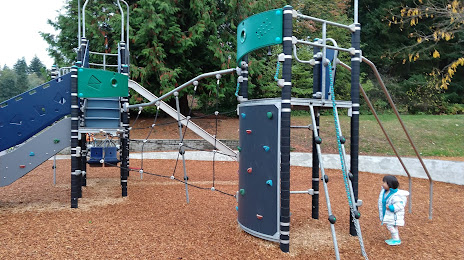
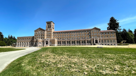
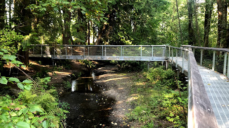
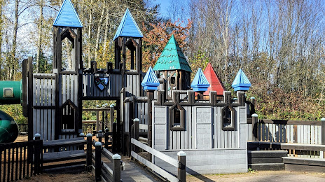
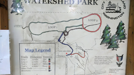
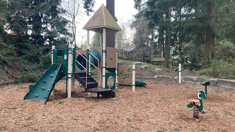
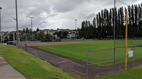
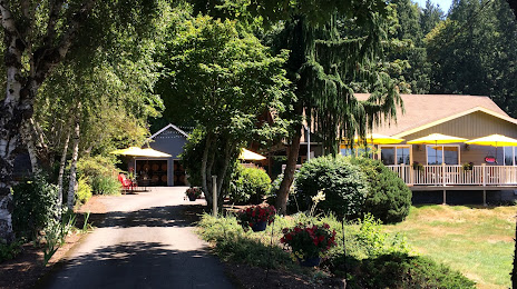
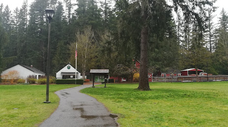
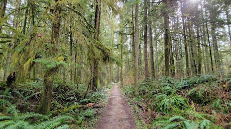
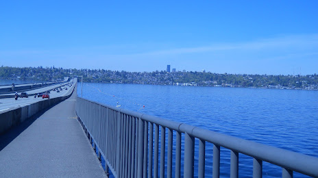
Attractions


Distance to the capital
Distance to the capital (Washington) is about — 3728 km.