 Yates City
Dana Point
Clarksville
Green Cove Springs
Morristown
Port Saint Joe
Kenosha
North Aurora
Reidsville
Warsaw
Kirkland
Smyrna/Rutherford County Airport Authority
Pullman
Kooskia
Lawrenceville
Kennewick
Hermiston
Meridian
Pendleton
Yates City
Dana Point
Clarksville
Green Cove Springs
Morristown
Port Saint Joe
Kenosha
North Aurora
Reidsville
Warsaw
Kirkland
Smyrna/Rutherford County Airport Authority
Pullman
Kooskia
Lawrenceville
Kennewick
Hermiston
Meridian
Pendleton
Cerritos on the map, United States
Where is located Cerritos
Exact location — Cerritos, Los Angeles County, California, United States, marked on the map with a red marker.
Coordinates
Cerritos, United States coordinates in decimal format: latitude — 33.8583483, longitude — -118.0647871. When converted to degrees, minutes, seconds Cerritos has the following coordinates: 33°51′30.05 north latitude and -118°3′53.23 east longitude.
Population
Cerritos, Los Angeles County, California, United States, according to our data the population is — 53,305 residents, which is about 0% of the total population of the country (United States).
Comparison of the population on the graph:
Exact time
Time zone for this location Cerritos — UTC -7 America/Los_Angeles. Exact time — tuesday, 4 april 2024 year, 08 h. 43 minutes.
Sunrise and sunset
Cerritos, sunrise and sunset data for a date — tuesday 23.04.2024.
| Sunrise | Sunset | Day (duration) |
|---|---|---|
| 06:13 -1 minute | 19:27 +1 minute | 13 h. 12 minutes. +2 minutes |
You can control the scale of the map using the auxiliary tools to find out exactly where it is located Cerritos. When you change the scale of the map, the width of the ruler also changes (in kilometers and miles).
Nearby cities
The largest cities that are located nearby:
- Norwalk — 5 km
- Downey — 11 km
- Fullerton — 13 km
- Anaheim — 14 km
- Garden Grove — 15 km
- Long Beach — 15 km
- East Los Angeles — 20 km
- Orange — 21 km
- Santa Ana — 22 km
- Huntington Beach — 23 km
- El Monte — 24 km
- Torrance — 25 km
- West Covina — 26 km
- Los Angeles — 27 km
- Costa Mesa — 28 km
- Inglewood — 29 km
- Irvine — 31 km
- Pasadena — 33 km
- Glendale — 36 km
Distance to neighboring capitals:
- Mexico City
 (Mexico) — 2465 km
 - Belmopan
 (Belize) — 3452 km
 - Guatemala City
 (Guatemala) — 3498 km
 - Ottawa
 (Canada) — 3799 km
 - Nuuk
 (Greenland) — 5528 km
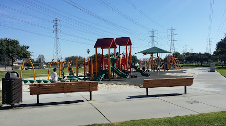
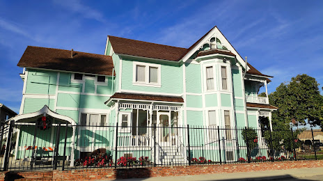
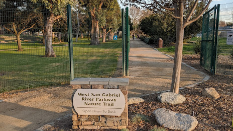
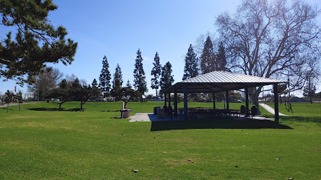
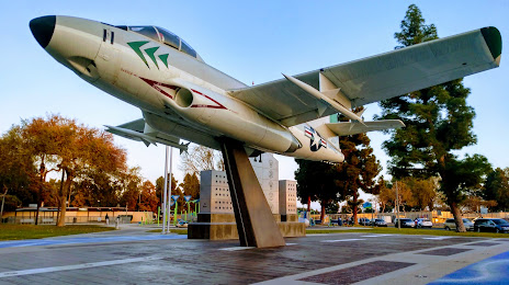
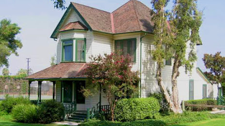
Attractions


Distance to the capital
Distance to the capital (Washington) is about — 3685 km.