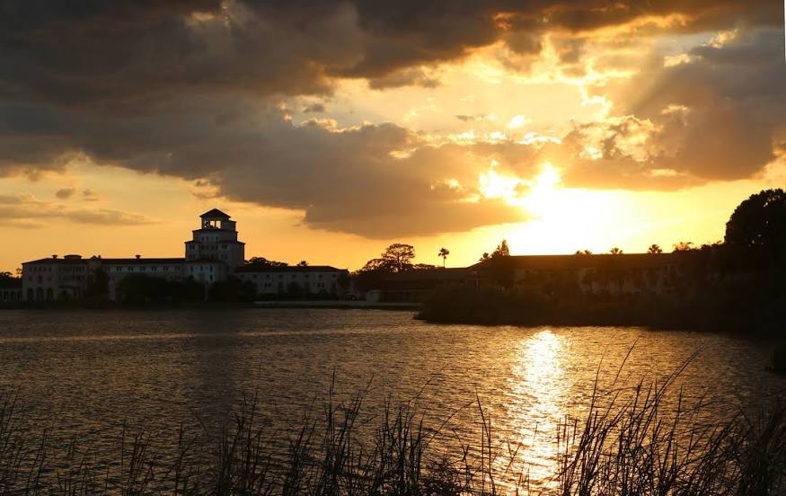
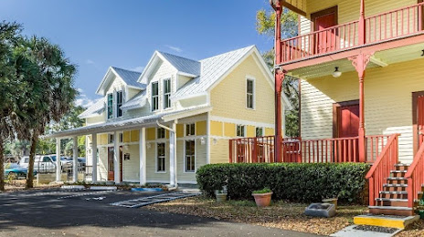
 Green Cove Springs
Morristown
Port Saint Joe
Kenosha
North Aurora
Reidsville
Winder
Douglas
Charlottesville
Canonsburg
Newport
Enumclaw
Warsaw
Kirkland
Smyrna/Rutherford County Airport Authority
Pullman
Kooskia
Lawrenceville
Kennewick
Green Cove Springs
Morristown
Port Saint Joe
Kenosha
North Aurora
Reidsville
Winder
Douglas
Charlottesville
Canonsburg
Newport
Enumclaw
Warsaw
Kirkland
Smyrna/Rutherford County Airport Authority
Pullman
Kooskia
Lawrenceville
Kennewick
Tallahassee on the map, United States
Where is located Tallahassee
Exact location — Tallahassee, Leon County, Florida, United States, marked on the map with a red marker.
Coordinates
Tallahassee, United States coordinates in decimal format: latitude — 30.4382559, longitude — -84.2807329. When converted to degrees, minutes, seconds Tallahassee has the following coordinates: 30°26′17.72 north latitude and -84°16′50.64 east longitude.
Population
Tallahassee, Leon County, Florida, United States, according to our data the population is — 153,583 residents, which is about 0% of the total population of the country (United States).
Comparison of the population on the graph:
Exact time
Time zone for this location Tallahassee — UTC -4 America/New_York. Exact time — thursday, 4 april 2024 year, 22 h. 37 minutes.
Sunrise and sunset
Tallahassee, sunrise and sunset data for a date — thursday 18.04.2024.
| Sunrise | Sunset | Day (duration) |
|---|---|---|
| 07:08 -1 minute | 20:04 +1 minute | 12 h. 54 minutes. +2 minutes |
You can control the scale of the map using the auxiliary tools to find out exactly where it is located Tallahassee. When you change the scale of the map, the width of the ruler also changes (in kilometers and miles).
Nearby cities
The largest cities that are located nearby:
- Gainesville — 207 km
- Jacksonville — 251 km
- Montgomery — 285 km
- Clearwater — 309 km
- Tampa — 328 km
- Saint Petersburg — 336 km
- Brandon — 338 km
- Savannah — 349 km
- Orlando — 351 km
- Mobile — 359 km
- Atlanta — 366 km
- Birmingham — 413 km
- Charleston — 480 km
- Cape Coral — 487 km
- Columbia — 494 km
- Chattanooga — 518 km
- Huntsville — 519 km
- Port Saint Lucie — 521 km
- New Orleans — 557 km
Distance to neighboring capitals:
- Belmopan
 (Belize) — 1536 km
 - Ottawa
 (Canada) — 1826 km
 - Guatemala City
 (Guatemala) — 1873 km
 - Mexico City
 (Mexico) — 1931 km
 - Nuuk
 (Greenland) — 4383 km
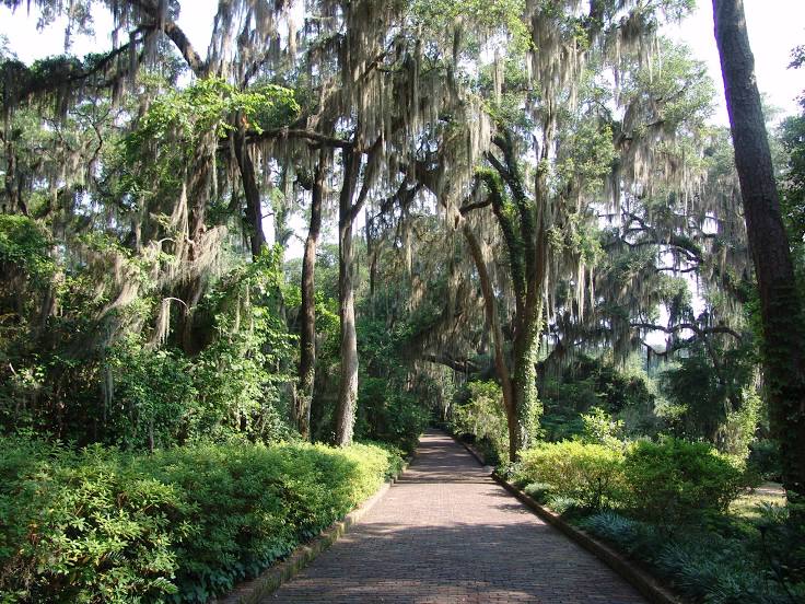
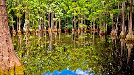
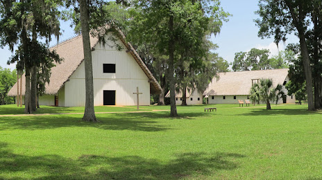
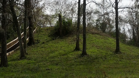
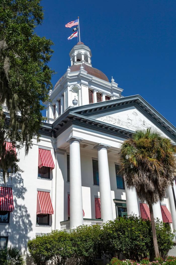
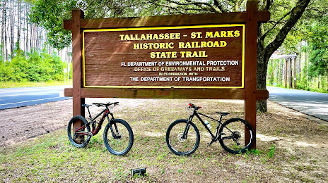
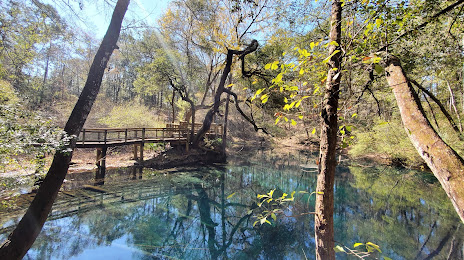
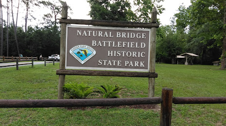
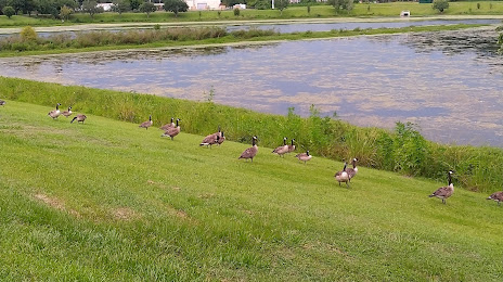
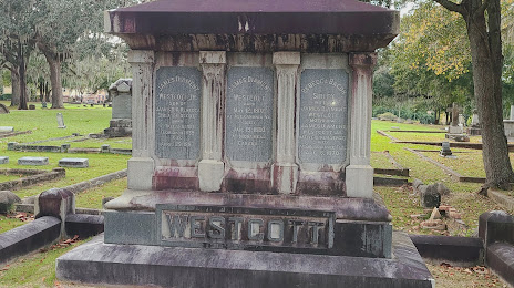
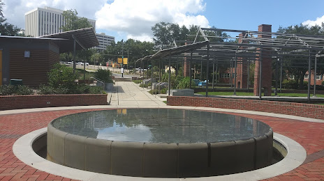
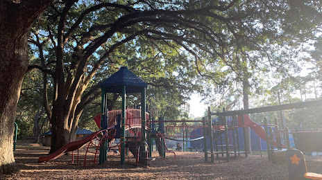
Attractions


Distance to the capital
Distance to the capital (Washington) is about — 1151 km.