 Battle Ground
Sandy
Guymon
Coos Bay
Reedsport
Lake Bluff
Springfield
Sherwood
New Providence
Wexford
Valdosta
Midway Airport
Rincon
Newberry
Tallahassee
Cleveland
Mableton
Cerritos
Fort Yates
Battle Ground
Sandy
Guymon
Coos Bay
Reedsport
Lake Bluff
Springfield
Sherwood
New Providence
Wexford
Valdosta
Midway Airport
Rincon
Newberry
Tallahassee
Cleveland
Mableton
Cerritos
Fort Yates
North Aurora on the map, United States
Where is located North Aurora
Exact location — North Aurora, Kane County, Illinois, United States, marked on the map with a red marker.
Coordinates
North Aurora, United States coordinates in decimal format: latitude — 41.8061399, longitude — -88.3272952. When converted to degrees, minutes, seconds North Aurora has the following coordinates: 41°48′22.1 north latitude and -88°19′38.26 east longitude.
Population
North Aurora, Kane County, Illinois, United States, according to our data the population is — 14,447 residents, which is about 0% of the total population of the country (United States).
Comparison of the population on the graph:
Exact time
Time zone for this location North Aurora — UTC -5 America/Chicago. Exact time — wednesday, 4 april 2024 year, 19 h. 52 minutes.
Sunrise and sunset
North Aurora, sunrise and sunset data for a date — wednesday 24.04.2024.
| Sunrise | Sunset | Day (duration) |
|---|---|---|
| 06:01 -1 minute | 19:41 +1 minute | 13 h. 42 minutes. +2 minutes |
You can control the scale of the map using the auxiliary tools to find out exactly where it is located North Aurora. When you change the scale of the map, the width of the ruler also changes (in kilometers and miles).
Nearby cities
The largest cities that are located nearby:
- Aurora — 5 km
- Naperville — 16 km
- Joliet — 37 km
- Chicago — 58 km
- Rockford — 81 km
- Milwaukee — 140 km
- Peoria — 162 km
- Madison — 165 km
- South Bend — 172 km
- Grand Rapids — 250 km
- Fort Wayne — 278 km
- Indianapolis — 291 km
- Green Bay — 301 km
- Lansing — 323 km
- Ann Arbor — 379 km
- Saint Louis — 387 km
- Toledo — 394 km
- Flint — 398 km
- Evansville — 429 km
Distance to neighboring capitals:
- Ottawa
 (Canada) — 1092 km
 - Mexico City
 (Mexico) — 2690 km
 - Belmopan
 (Belize) — 2731 km
 - Guatemala City
 (Guatemala) — 3032 km
 - Nuuk
 (Greenland) — 3403 km
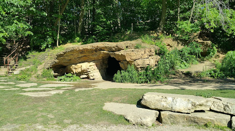
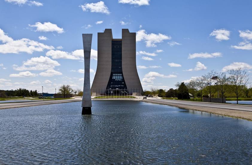
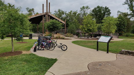
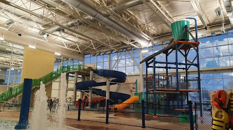
Attractions


Distance to the capital
Distance to the capital (Washington) is about — 1009 km.