 Glen Mills
Dinuba
Concordville
Rockford
Earlysville
Doylestown
Winchester
Honey Brook
Branchville
Charlottesville
Douglas
Winder
Reidsville
North Aurora
Kenosha
Port Saint Joe
Morristown
Green Cove Springs
Clarksville
Glen Mills
Dinuba
Concordville
Rockford
Earlysville
Doylestown
Winchester
Honey Brook
Branchville
Charlottesville
Douglas
Winder
Reidsville
North Aurora
Kenosha
Port Saint Joe
Morristown
Green Cove Springs
Clarksville
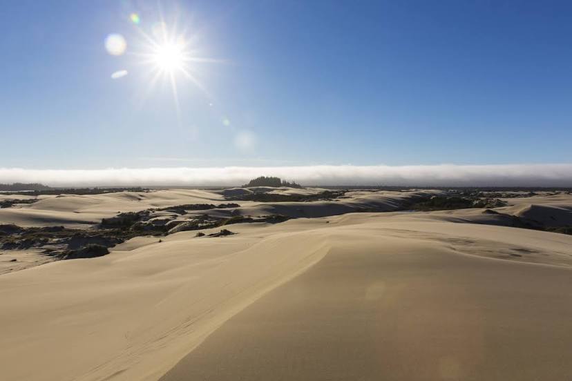
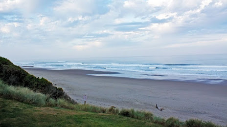
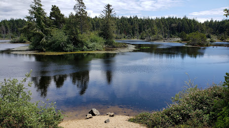
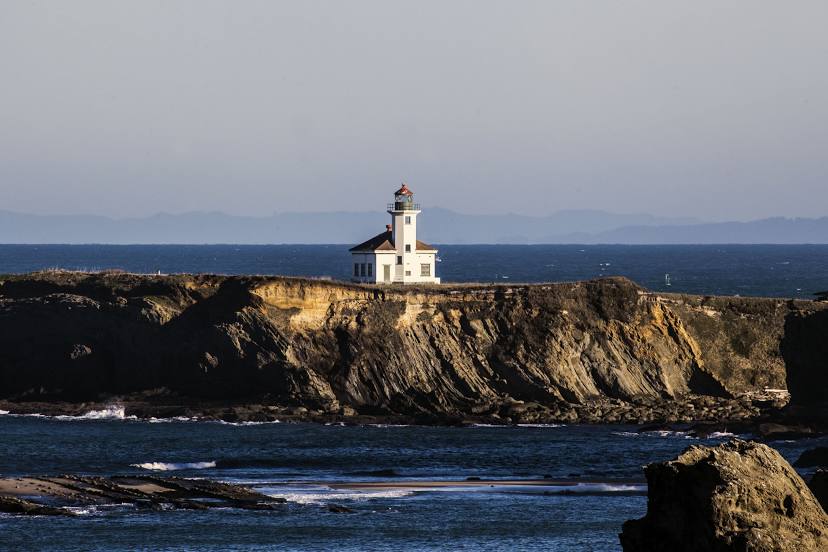
Coos Bay on the map, United States
Where is located Coos Bay
Exact location — Coos Bay, Coos County, Oregon, United States, marked on the map with a red marker.
Coordinates
Coos Bay, United States coordinates in decimal format: latitude — 43.3665007, longitude — -124.2178903. When converted to degrees, minutes, seconds Coos Bay has the following coordinates: 43°21′59.4 north latitude and -124°13′4.41 east longitude.
Population
Coos Bay, Coos County, Oregon, United States, according to our data the population is — 15,394 residents, which is about 0% of the total population of the country (United States).
Comparison of the population on the graph:
Exact time
Time zone for this location Coos Bay — UTC -7 America/Los_Angeles. Exact time — wednesday, 4 april 2024 year, 03 h. 25 minutes.
Sunrise and sunset
Coos Bay, sunrise and sunset data for a date — wednesday 24.04.2024.
| Sunrise | Sunset | Day (duration) |
|---|---|---|
| 06:21 -2 minutes | 20:07 +1 minute | 13 h. 48 minutes. +3 minutes |
You can control the scale of the map using the auxiliary tools to find out exactly where it is located Coos Bay. When you change the scale of the map, the width of the ruler also changes (in kilometers and miles).
Nearby cities
The largest cities that are located nearby:
- Eugene — 118 km
- Salem — 197 km
- Portland — 267 km
- Vancouver — 279 km
- Tacoma — 450 km
- Seattle — 489 km
- Bellevue — 493 km
- Santa Rosa — 560 km
- Victoria
 (Canada) — 563 km
 - Reno — 567 km
- Roseville — 569 km
- Sacramento — 579 km
- Fairfield — 597 km
- Vallejo — 606 km
- Richmond — 624 km
- Concord — 626 km
- Berkeley — 631 km
- San Francisco — 638 km
- Oakland — 638 km
Distance to neighboring capitals:
- Mexico City
 (Mexico) — 3544 km
 - Ottawa (Canada) — 3804 km
- Belmopan
 (Belize) — 4418 km
 - Guatemala City
 (Guatemala) — 4522 km
 - Nuuk
 (Greenland) — 4948 km
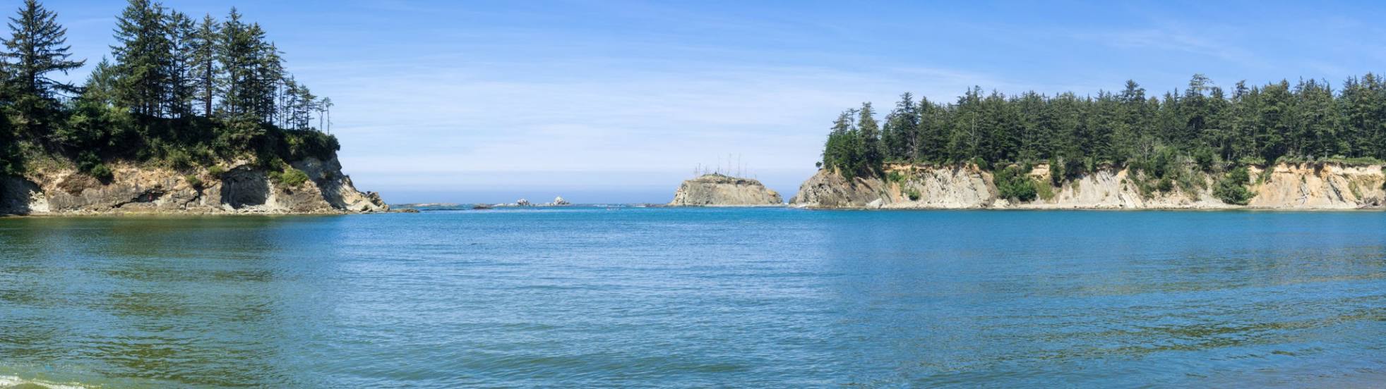
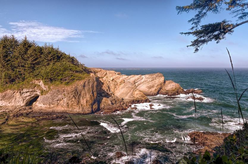
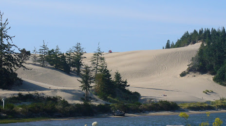
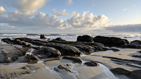
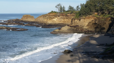
Attractions
Distance to the capital
Distance to the capital (Washington) is about — 3930 km.