 Doylestown
Winchester
Honey Brook
Branchville
Santa Rosa
Fort Washington
Ukiah
Hillsdale
Goshen
Dunlap
Tifton
Caryville
Lugoff
Blountstown
Charlottesville
Douglas
Winder
Reidsville
North Aurora
Doylestown
Winchester
Honey Brook
Branchville
Santa Rosa
Fort Washington
Ukiah
Hillsdale
Goshen
Dunlap
Tifton
Caryville
Lugoff
Blountstown
Charlottesville
Douglas
Winder
Reidsville
North Aurora
New Providence on the map, United States
Where is located New Providence
Exact location — New Providence, Union County, New Jersey, United States, marked on the map with a red marker.
Coordinates
New Providence, United States coordinates in decimal format: latitude — 40.6984348, longitude — -74.4015405. When converted to degrees, minutes, seconds New Providence has the following coordinates: 40°41′54.37 north latitude and -74°24′5.55 east longitude.
Population
New Providence, Union County, New Jersey, United States, according to our data the population is — 11,935 residents, which is about 0% of the total population of the country (United States).
Comparison of the population on the graph:
Exact time
Time zone for this location New Providence — UTC -4 America/New_York. Exact time — thursday, 4 april 2024 year, 06 h. 13 minutes.
Sunrise and sunset
New Providence, sunrise and sunset data for a date — thursday 25.04.2024.
| Sunrise | Sunset | Day (duration) |
|---|---|---|
| 06:06 -1 minute | 19:44 +1 minute | 13 h. 36 minutes. +2 minutes |
You can control the scale of the map using the auxiliary tools to find out exactly where it is located New Providence. When you change the scale of the map, the width of the ruler also changes (in kilometers and miles).
Nearby cities
The largest cities that are located nearby:
- Elizabeth — 16 km
- Newark — 20 km
- Edison — 20 km
- Paterson — 31 km
- New York — 33 km
- Brooklyn — 34 km
- Yonkers — 49 km
- Stamford — 82 km
- Toms River — 84 km
- Allentown — 92 km
- Philadelphia — 105 km
- Bridgeport — 114 km
- New Haven — 140 km
- Waterbury — 147 km
- Hartford — 184 km
- Springfield — 215 km
- Amherst — 239 km
- Baltimore — 245 km
- Worcester — 274 km
Distance to neighboring capitals:
- Ottawa
 (Canada) — 536 km
 - Belmopan
 (Belize) — 2950 km
 - Nuuk
 (Greenland) — 2993 km
 - Guatemala City
 (Guatemala) — 3295 km
 - Mexico City
 (Mexico) — 3333 km
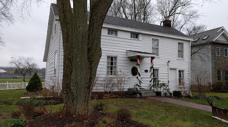
Attractions
Distance to the capital
Distance to the capital (Washington) is about — 301 km.