 Ukiah
Hillsdale
Goshen
Napoleon Airport
Millbury
West Chester
Plymouth
Ypsilanti
Jonesville
Coos Bay
Guymon
Sandy
Battle Ground
Gaffney
Tualatin
Dunlap
Tifton
Caryville
Lugoff
Ukiah
Hillsdale
Goshen
Napoleon Airport
Millbury
West Chester
Plymouth
Ypsilanti
Jonesville
Coos Bay
Guymon
Sandy
Battle Ground
Gaffney
Tualatin
Dunlap
Tifton
Caryville
Lugoff
Conway on the map, United States
Where is located Conway
Exact location — Conway, Faulkner County, Arkansas, United States, marked on the map with a red marker.
Coordinates
Conway, United States coordinates in decimal format: latitude — 35.0886963, longitude — -92.4421011. When converted to degrees, minutes, seconds Conway has the following coordinates: 35°5′19.31 north latitude and -92°26′31.56 east longitude.
Population
Conway, Faulkner County, Arkansas, United States, according to our data the population is — 51,524 residents, which is about 0% of the total population of the country (United States).
Comparison of the population on the graph:
Exact time
Time zone for this location Conway — UTC -5 America/Chicago. Exact time — saturday, 4 april 2024 year, 01 h. 49 minutes.
Sunrise and sunset
Conway, sunrise and sunset data for a date — saturday 20.04.2024.
| Sunrise | Sunset | Day (duration) |
|---|---|---|
| 06:33 -1 minute | 19:43 -0 minutes | 13 h. 12 minutes. +1 minute |
You can control the scale of the map using the auxiliary tools to find out exactly where it is located Conway. When you change the scale of the map, the width of the ruler also changes (in kilometers and miles).
Nearby cities
The largest cities that are located nearby:
- Little Rock — 40 km
- Memphis — 216 km
- Springfield — 246 km
- Shreveport — 309 km
- Tulsa — 338 km
- Jackson — 374 km
- Saint Louis — 437 km
- Norman — 452 km
- Plano — 456 km
- Garland — 458 km
- Frisco — 459 km
- Oklahoma City — 459 km
- Richardson — 463 km
- Mesquite — 464 km
- Olathe — 467 km
- Overland Park — 471 km
- Independence — 474 km
- Carrollton — 474 km
- Dallas — 479 km
Distance to neighboring capitals:
- Ottawa
 (Canada) — 1822 km
 - Mexico City
 (Mexico) — 1861 km
 - Belmopan
 (Belize) — 2017 km
 - Guatemala City
 (Guatemala) — 2285 km
 - Nuuk
 (Greenland) — 4230 km
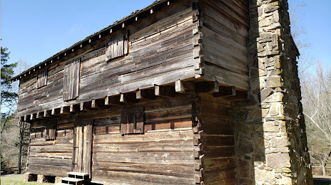
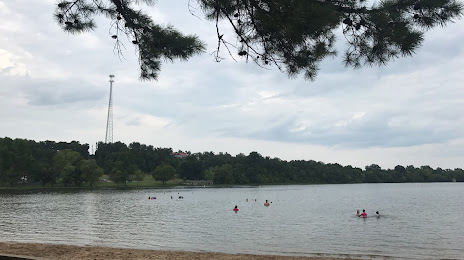
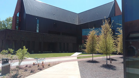
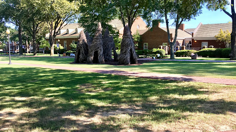
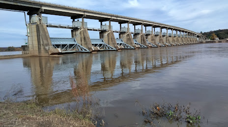
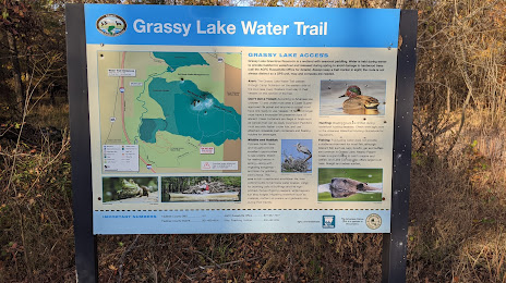
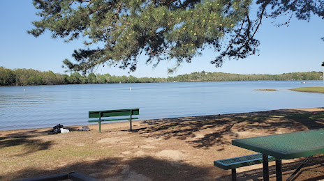
Attractions


Distance to the capital
Distance to the capital (Washington) is about — 1431 km.