 Trumbull
Stratford
Danbury
Guilford
East Rutherford
Milford
Seymour
West Haven
Ronkonkoma
Hillsdale
Ukiah
Fort Washington
Santa Rosa
Branchville
Honey Brook
Winchester
Doylestown
Earlysville
Rockford
Trumbull
Stratford
Danbury
Guilford
East Rutherford
Milford
Seymour
West Haven
Ronkonkoma
Hillsdale
Ukiah
Fort Washington
Santa Rosa
Branchville
Honey Brook
Winchester
Doylestown
Earlysville
Rockford
Sandusky on the map, United States
Where is located Sandusky
Exact location — Sandusky, Erie County, Ohio, United States, marked on the map with a red marker.
Coordinates
Sandusky, United States coordinates in decimal format: latitude — 41.4489396, longitude — -82.7079605. When converted to degrees, minutes, seconds Sandusky has the following coordinates: 41°26′56.18 north latitude and -82°42′28.66 east longitude.
Population
Sandusky, Erie County, Ohio, United States, according to our data the population is — 26,428 residents, which is about 0% of the total population of the country (United States).
Comparison of the population on the graph:
Exact time
Time zone for this location Sandusky — UTC -4 America/New_York. Exact time — friday, 4 april 2024 year, 16 h. 59 minutes.
Sunrise and sunset
Sandusky, sunrise and sunset data for a date — friday 19.04.2024.
| Sunrise | Sunset | Day (duration) |
|---|---|---|
| 06:46 -2 minutes | 20:12 +1 minute | 13 h. 24 minutes. +3 minutes |
You can control the scale of the map using the auxiliary tools to find out exactly where it is located Sandusky. When you change the scale of the map, the width of the ruler also changes (in kilometers and miles).
Nearby cities
The largest cities that are located nearby:
- Toledo — 74 km
- Cleveland — 84 km
- Windsor
 (Canada) — 99 km
 - Detroit — 101 km
- Akron — 107 km
- Aurora — 114 km
- Warren — 120 km
- Ann Arbor — 125 km
- Sterling Heights — 128 km
- Columbus — 166 km
- Flint — 190 km
- Springfield — 193 km
- Lansing — 207 km
- Fort Wayne — 207 km
- London (Canada) — 207 km
- Pittsburgh — 254 km
- Kitchener (Canada) — 282 km
- Waterloo (Canada) — 284 km
- Cambridge (Canada) — 286 km
Distance to neighboring capitals:
- Ottawa (Canada) — 718 km
- Belmopan
 (Belize) — 2753 km
 - Mexico City
 (Mexico) — 2900 km
 - Guatemala City
 (Guatemala) — 3079 km
 - Nuuk
 (Greenland) — 3210 km
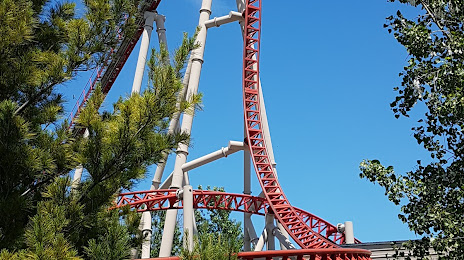
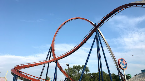
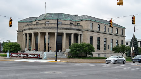
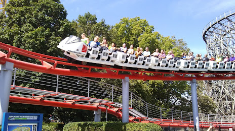
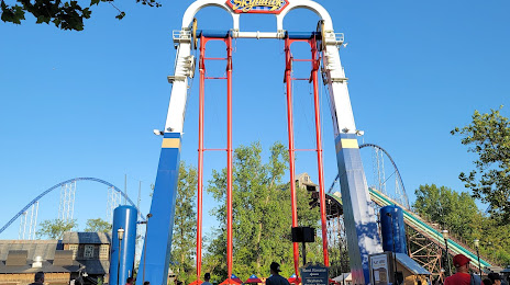
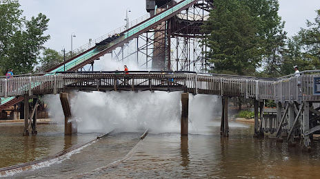
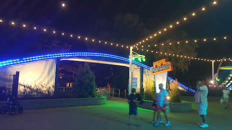
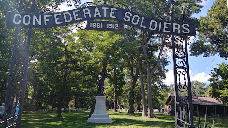
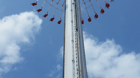
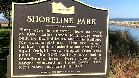
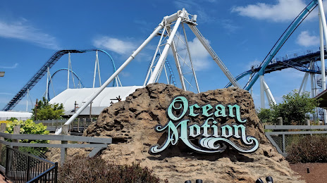
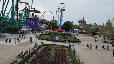
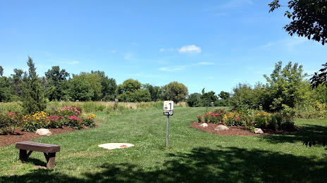
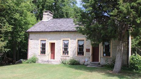
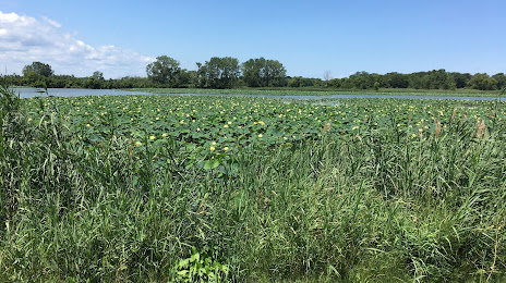
Attractions


Distance to the capital
Distance to the capital (Washington) is about — 559 km.