 Holbrook
Bohemia
Holtsville
Hampton Bays
Berkeley
Danville
Shoreham
Vallejo
Bridgehampton
Sandusky
Adrian
Canton
White Marsh
Jonesville
Ypsilanti
Plymouth
West Chester
Millbury
Napoleon Airport
Holbrook
Bohemia
Holtsville
Hampton Bays
Berkeley
Danville
Shoreham
Vallejo
Bridgehampton
Sandusky
Adrian
Canton
White Marsh
Jonesville
Ypsilanti
Plymouth
West Chester
Millbury
Napoleon Airport
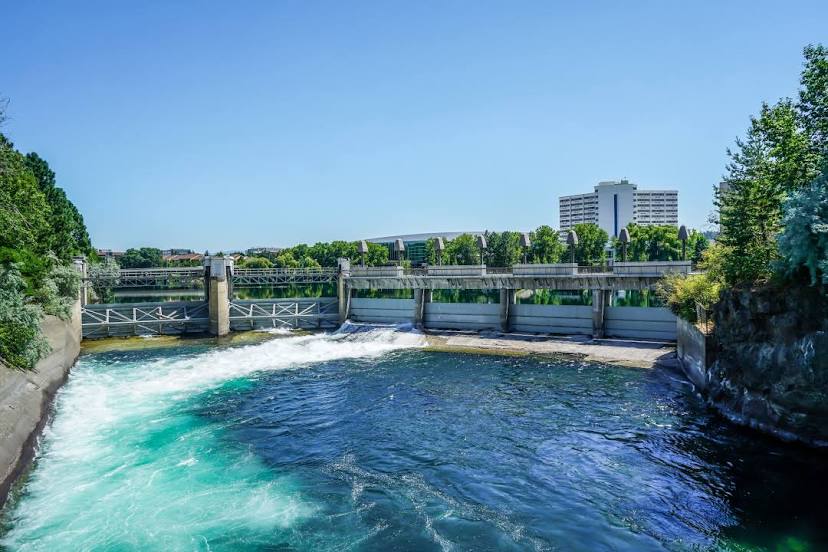
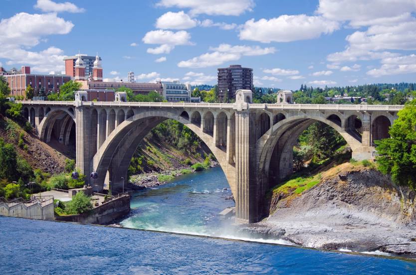
Spokane on the map, United States
Where is located Spokane
Exact location — Spokane, Spokane County, Washington, United States, marked on the map with a red marker.
Coordinates
Spokane, United States coordinates in decimal format: latitude — 47.6587802, longitude — -117.4260466. When converted to degrees, minutes, seconds Spokane has the following coordinates: 47°39′31.61 north latitude and -117°25′33.77 east longitude.
Population
Spokane, Spokane County, Washington, United States, according to our data the population is — 197,262 residents, which is about 0.1% of the total population of the country (United States).
Comparison of the population on the graph:
Exact time
Time zone for this location Spokane — UTC -7 America/Los_Angeles. Exact time — wednesday, 4 april 2024 year, 05 h. 03 minutes.
Sunrise and sunset
Spokane, sunrise and sunset data for a date — wednesday 17.04.2024.
| Sunrise | Sunset | Day (duration) |
|---|---|---|
| 05:58 -2 minutes | 19:39 +2 minutes | 13 h. 42 minutes. +4 minutes |
You can control the scale of the map using the auxiliary tools to find out exactly where it is located Spokane. When you change the scale of the map, the width of the ruler also changes (in kilometers and miles).
Nearby cities
The largest cities that are located nearby:
- Kelowna
 (Canada) — 287 km
 - Bellevue — 356 km
- Seattle — 366 km
- Tacoma — 379 km
- Abbotsford (Canada) — 387 km
- Surrey (Canada) — 427 km
- Coquitlam (Canada) — 427 km
- Anmore (Canada) — 432 km
- Delta (Canada) — 435 km
- Burnaby (Canada) — 438 km
- Calgary (Canada) — 441 km
- Victoria (Canada) — 444 km
- Richmond (Canada) — 445 km
- Vancouver (Canada) — 448 km
- Boise — 457 km
- Portland — 470 km
- Salem — 532 km
- Eugene — 601 km
- Edmonton (Canada) — 700 km
Distance to neighboring capitals:
- Ottawa (Canada) — 3163 km
- Mexico City
 (Mexico) — 3548 km
 - Nuuk
 (Greenland) — 4246 km
 - Belmopan
 (Belize) — 4272 km
 - Guatemala City
 (Guatemala) — 4432 km
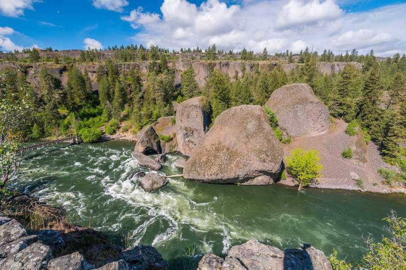
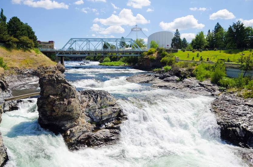
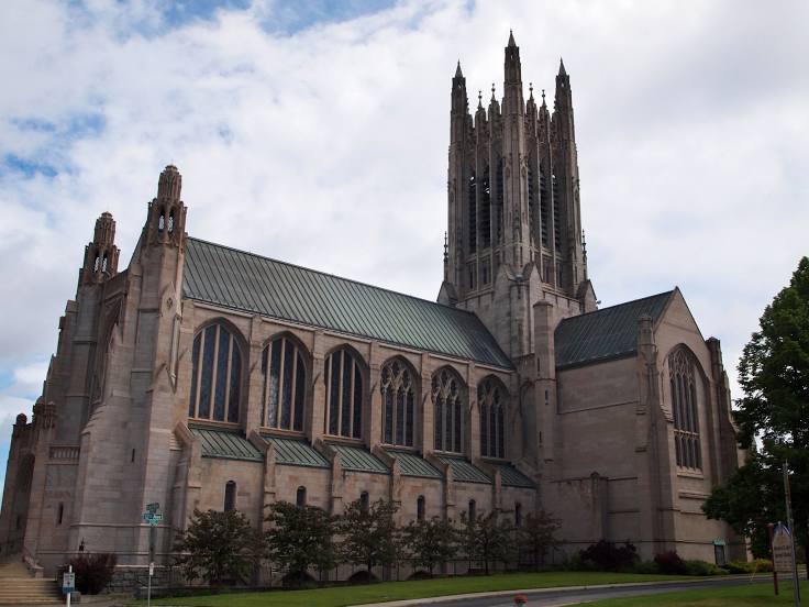
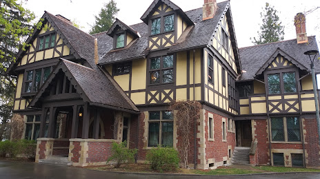
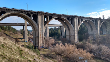
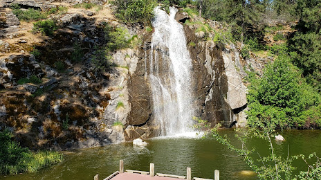
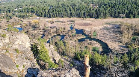
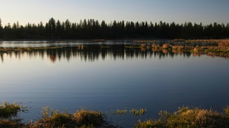
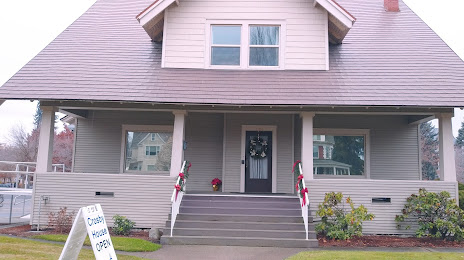
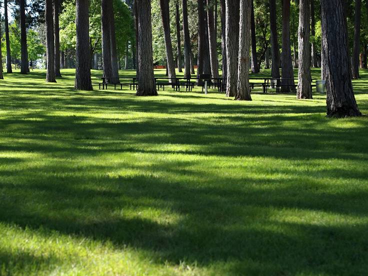
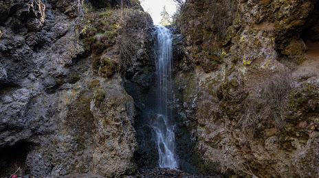
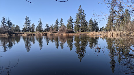
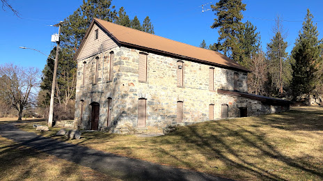
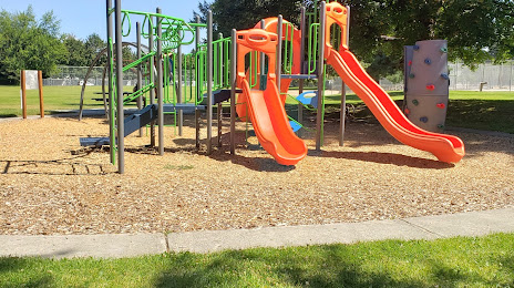
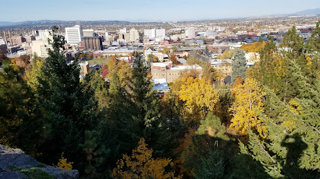
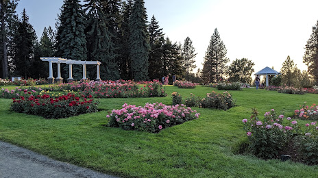
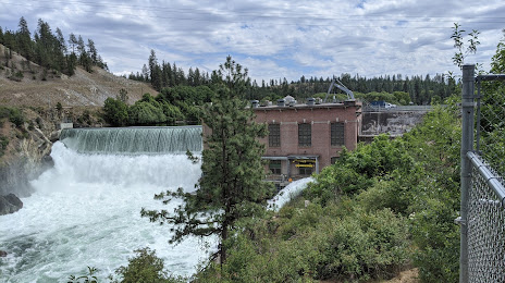
Attractions


Distance to the capital
Distance to the capital (Washington) is about — 3370 km.