 Waverly
Eagle River
Madison
Yakima
Walla Walla
Bridgeview
Deerfield
Marietta
Newnan
Shoreham
Danville
Berkeley
Hampton Bays
Holtsville
Bohemia
Holbrook
Zionsville
Commack
Ronkonkoma
Waverly
Eagle River
Madison
Yakima
Walla Walla
Bridgeview
Deerfield
Marietta
Newnan
Shoreham
Danville
Berkeley
Hampton Bays
Holtsville
Bohemia
Holbrook
Zionsville
Commack
Ronkonkoma
Chicopee on the map, United States
Where is located Chicopee
Exact location — Chicopee, Hampden County, Massachusetts, United States, marked on the map with a red marker.
Coordinates
Chicopee, United States coordinates in decimal format: latitude — 42.1487043, longitude — -72.6078672. When converted to degrees, minutes, seconds Chicopee has the following coordinates: 42°8′55.34 north latitude and -72°36′28.32 east longitude.
Population
Chicopee, Hampden County, Massachusetts, United States, according to our data the population is — 55,179 residents, which is about 0% of the total population of the country (United States).
Comparison of the population on the graph:
Exact time
Time zone for this location Chicopee — UTC -4 America/New_York. Exact time — thursday, 4 april 2024 year, 01 h. 48 minutes.
Sunrise and sunset
Chicopee, sunrise and sunset data for a date — thursday 25.04.2024.
| Sunrise | Sunset | Day (duration) |
|---|---|---|
| 05:56 -1 minute | 19:40 +2 minutes | 13 h. 42 minutes. +3 minutes |
You can control the scale of the map using the auxiliary tools to find out exactly where it is located Chicopee. When you change the scale of the map, the width of the ruler also changes (in kilometers and miles).
Nearby cities
The largest cities that are located nearby:
- Springfield — 5 km
- Amherst — 23 km
- Hartford — 43 km
- Worcester — 67 km
- Waterbury — 75 km
- New Haven — 97 km
- Providence — 105 km
- Bridgeport — 117 km
- Lowell — 118 km
- Cambridge — 125 km
- Boston — 129 km
- Manchester — 132 km
- Stamford — 144 km
- Yonkers — 172 km
- Paterson — 189 km
- New York — 197 km
- Brooklyn — 198 km
- Newark — 204 km
- Elizabeth — 212 km
Distance to neighboring capitals:
- Ottawa
 (Canada) — 440 km
 - Nuuk
 (Greenland) — 2788 km
 - Belmopan
 (Belize) — 3166 km
 - Guatemala City
 (Guatemala) — 3513 km
 - Mexico City
 (Mexico) — 3550 km
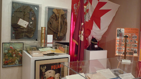
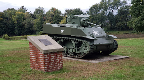
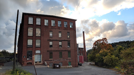
Attractions


Distance to the capital
Distance to the capital (Washington) is about — 520 km.