 Los Banos
Daphne
Delray Beach
Douglasville
Riverdale
Steubenville
Hawthorne
Marina del Rey
Pompano Beach
Marietta
Deerfield
Bridgeview
Walla Walla
Yakima
Madison
Eagle River
Waverly
Palmer
Wasilla
Los Banos
Daphne
Delray Beach
Douglasville
Riverdale
Steubenville
Hawthorne
Marina del Rey
Pompano Beach
Marietta
Deerfield
Bridgeview
Walla Walla
Yakima
Madison
Eagle River
Waverly
Palmer
Wasilla
Yankton on the map, United States
Where is located Yankton
Exact location — Yankton, Yankton County, South Dakota, United States, marked on the map with a red marker.
Coordinates
Yankton, United States coordinates in decimal format: latitude — 42.8711088, longitude — -97.3972813. When converted to degrees, minutes, seconds Yankton has the following coordinates: 42°52′15.99 north latitude and -97°23′50.21 east longitude.
Population
Yankton, Yankton County, South Dakota, United States, according to our data the population is — 13,410 residents, which is about 0% of the total population of the country (United States).
Comparison of the population on the graph:
Exact time
Time zone for this location Yankton — UTC -5 America/Chicago. Exact time — thursday, 4 april 2024 year, 20 h. 52 minutes.
Sunrise and sunset
Yankton, sunrise and sunset data for a date — thursday 18.04.2024.
| Sunrise | Sunset | Day (duration) |
|---|---|---|
| 06:44 -2 minutes | 20:12 +1 minute | 13 h. 30 minutes. +3 minutes |
You can control the scale of the map using the auxiliary tools to find out exactly where it is located Yankton. When you change the scale of the map, the width of the ruler also changes (in kilometers and miles).
Nearby cities
The largest cities that are located nearby:
- Sioux Falls — 92 km
- Omaha — 213 km
- Lincoln — 234 km
- Des Moines — 343 km
- Minneapolis — 398 km
- Saint Paul — 408 km
- Topeka — 447 km
- North Kansas City — 478 km
- Kansas City — 482 km
- Overland Park — 490 km
- Independence — 490 km
- Olathe — 494 km
- Wichita — 573 km
- Madison — 646 km
- Rockford — 683 km
- Fort Collins — 693 km
- Peoria — 697 km
- Aurora — 721 km
- Springfield — 723 km
Distance to neighboring capitals:
- Ottawa
 (Canada) — 1749 km
 - Mexico City
 (Mexico) — 2612 km
 - Belmopan
 (Belize) — 2964 km
 - Guatemala City
 (Guatemala) — 3211 km
 - Nuuk
 (Greenland) — 3707 km
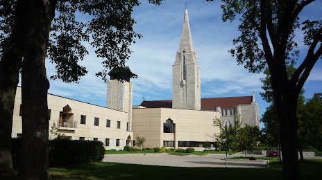
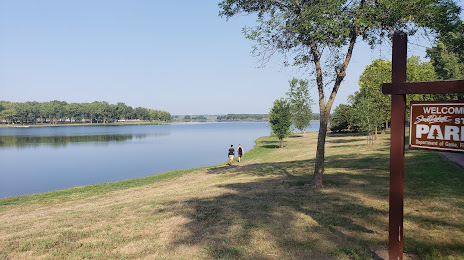
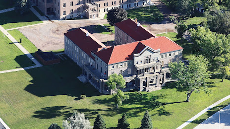
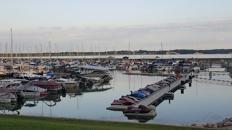
Attractions


Distance to the capital
Distance to the capital (Washington) is about — 1763 km.