 Huger
Hazard
Buhler
San Francisco
Paris
Texarkana
Erlanger
Kaufman
Glendale
Madison
Scotts Valley
Barnesville
Yankton
Cherryville
South Sioux City
Wall Township
Grand Island
Pearland
Spirit Lake
Huger
Hazard
Buhler
San Francisco
Paris
Texarkana
Erlanger
Kaufman
Glendale
Madison
Scotts Valley
Barnesville
Yankton
Cherryville
South Sioux City
Wall Township
Grand Island
Pearland
Spirit Lake
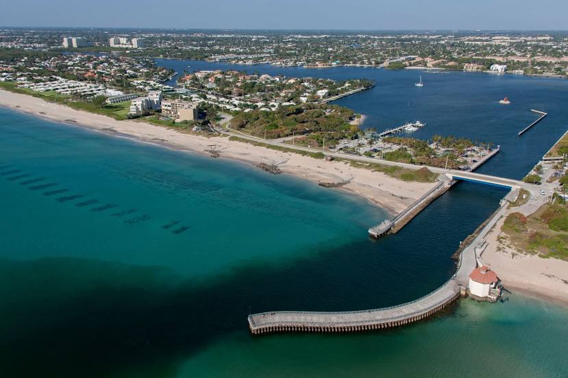
Delray Beach on the map, United States
Where is located Delray Beach
Exact location — Delray Beach, Palm Beach County, Florida, United States, marked on the map with a red marker.
Coordinates
Delray Beach, United States coordinates in decimal format: latitude — 26.4614625, longitude — -80.0728201. When converted to degrees, minutes, seconds Delray Beach has the following coordinates: 26°27′41.27 north latitude and -80°4′22.15 east longitude.
Population
Delray Beach, Palm Beach County, Florida, United States, according to our data the population is — 65,511 residents, which is about 0% of the total population of the country (United States).
Comparison of the population on the graph:
Exact time
Time zone for this location Delray Beach — UTC -4 America/New_York. Exact time — thursday, 4 april 2024 year, 19 h. 45 minutes.
Sunrise and sunset
Delray Beach, sunrise and sunset data for a date — thursday 25.04.2024.
| Sunrise | Sunset | Day (duration) |
|---|---|---|
| 06:49 -1 minute | 19:46 -0 minutes | 13 h. 0 minutes. +1 minute |
You can control the scale of the map using the auxiliary tools to find out exactly where it is located Delray Beach. When you change the scale of the map, the width of the ruler also changes (in kilometers and miles).
Nearby cities
The largest cities that are located nearby:
- Coral Springs — 29 km
- Fort Lauderdale — 38 km
- Hollywood — 50 km
- Pembroke Pines — 55 km
- Miramar — 57 km
- Hialeah — 70 km
- Miami — 78 km
- Port Saint Lucie — 94 km
- Cape Coral — 186 km
- Orlando — 262 km
- Brandon — 271 km
- Tampa — 285 km
- Saint Petersburg — 290 km
- Clearwater — 314 km
- Nassau
 (The Bahamas) — 314 km
 - Matanzas
 (Cuba) — 407 km
 - Gainesville — 414 km
- Havana (Cuba) — 428 km
- Santa Clara (Cuba) — 447 km
Distance to neighboring capitals:
- Belmopan
 (Belize) — 1361 km
 - Guatemala City
 (Guatemala) — 1708 km
 - Mexico City
 (Mexico) — 2100 km
 - Ottawa
 (Canada) — 2144 km
 - Nuuk
 (Greenland) — 4660 km
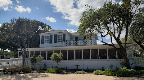
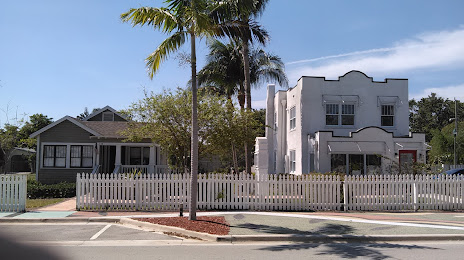
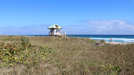
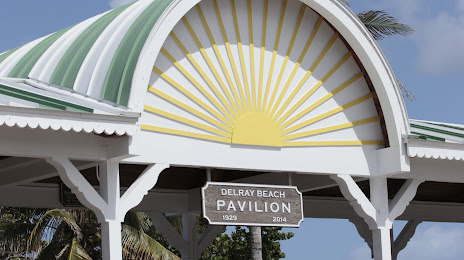
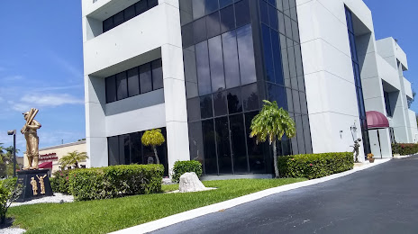
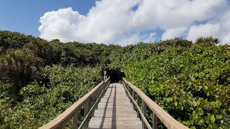
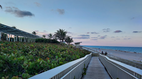
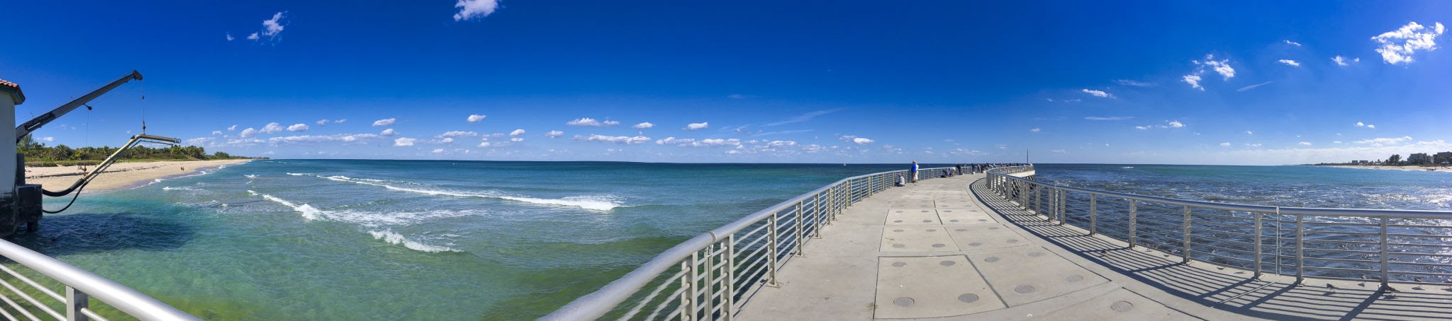
Attractions


Distance to the capital
Distance to the capital (Washington) is about — 1413 km.