 Jacksboro
Springfield
Cedar Lake
Mount Arlington
Rock Port
Elk Rapids
Garden City
Alameda
Rochelle Park
Los Banos
Ontario
Upland
Rialto
Hemet
Barstow
Surprise
Seal Beach
Austell
Madison
Jacksboro
Springfield
Cedar Lake
Mount Arlington
Rock Port
Elk Rapids
Garden City
Alameda
Rochelle Park
Los Banos
Ontario
Upland
Rialto
Hemet
Barstow
Surprise
Seal Beach
Austell
Madison
El Dorado Hills on the map, United States
Where is located El Dorado Hills
Exact location — El Dorado Hills, El Dorado County, California, United States, marked on the map with a red marker.
Coordinates
El Dorado Hills, United States coordinates in decimal format: latitude — 38.6857367, longitude — -121.082167. When converted to degrees, minutes, seconds El Dorado Hills has the following coordinates: 38°41′8.65 north latitude and -121°4′55.8 east longitude.
Population
El Dorado Hills, El Dorado County, California, United States, according to our data the population is — 25,106 residents, which is about 0% of the total population of the country (United States).
Comparison of the population on the graph:
Exact time
Time zone for this location El Dorado Hills — UTC -7 America/Los_Angeles. Exact time — friday, 4 april 2024 year, 14 h. 34 minutes.
Sunrise and sunset
El Dorado Hills, sunrise and sunset data for a date — friday 19.04.2024.
| Sunrise | Sunset | Day (duration) |
|---|---|---|
| 06:24 -1 minute | 19:42 +1 minute | 13 h. 18 minutes. +2 minutes |
You can control the scale of the map using the auxiliary tools to find out exactly where it is located El Dorado Hills. When you change the scale of the map, the width of the ruler also changes (in kilometers and miles).
Nearby cities
The largest cities that are located nearby:
- Roseville — 19 km
- Sacramento — 37 km
- Stockton — 83 km
- Fairfield — 96 km
- Concord — 114 km
- Modesto — 116 km
- Vallejo — 121 km
- Berkeley — 137 km
- Richmond — 140 km
- Hayward — 142 km
- Oakland — 142 km
- Reno — 143 km
- Santa Rosa — 144 km
- Fremont — 149 km
- San Francisco — 154 km
- San Jose — 165 km
- Santa Clara — 166 km
- Sunnyvale — 168 km
- Salinas — 228 km
Distance to neighboring capitals:
- Mexico City
 (Mexico) — 3007 km
 - Ottawa
 (Canada) — 3771 km
 - Belmopan
 (Belize) — 3935 km
 - Guatemala City
 (Guatemala) — 4013 km
 - Nuuk
 (Greenland) — 5223 km
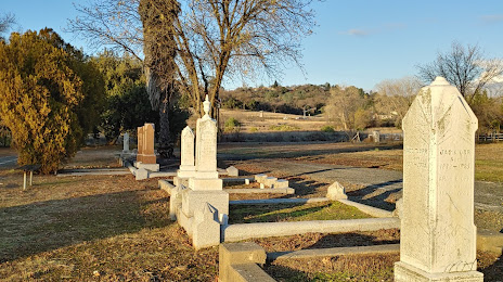
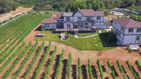
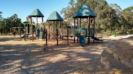
Attractions

Distance to the capital
Distance to the capital (Washington) is about — 3780 km.