 Palisades
West Lafayette
Cadillac
Middletown
Fayetteville
Branson
Pryor Creek
Gilroy
Walnut Creek
Elk Rapids
Rock Port
Mount Arlington
Cedar Lake
Springfield
Jacksboro
Glendale
Kaufman
Erlanger
Texarkana
Palisades
West Lafayette
Cadillac
Middletown
Fayetteville
Branson
Pryor Creek
Gilroy
Walnut Creek
Elk Rapids
Rock Port
Mount Arlington
Cedar Lake
Springfield
Jacksboro
Glendale
Kaufman
Erlanger
Texarkana
Evanston on the map, United States
Where is located Evanston
Exact location — Evanston, Cook County, Illinois, United States, marked on the map with a red marker.
Coordinates
Evanston, United States coordinates in decimal format: latitude — 42.0450722, longitude — -87.6876969. When converted to degrees, minutes, seconds Evanston has the following coordinates: 42°2′42.26 north latitude and -87°41′15.71 east longitude.
Population
Evanston, Cook County, Illinois, United States, according to our data the population is — 75,311 residents, which is about 0% of the total population of the country (United States).
Comparison of the population on the graph:
Exact time
Time zone for this location Evanston — UTC -5 America/Chicago. Exact time — thursday, 4 april 2024 year, 13 h. 55 minutes.
Sunrise and sunset
Evanston, sunrise and sunset data for a date — thursday 18.04.2024.
| Sunrise | Sunset | Day (duration) |
|---|---|---|
| 06:07 -1 minute | 19:32 +1 minute | 13 h. 24 minutes. +2 minutes |
You can control the scale of the map using the auxiliary tools to find out exactly where it is located Evanston. When you change the scale of the map, the width of the ruler also changes (in kilometers and miles).
Nearby cities
The largest cities that are located nearby:
- Chicago — 19 km
- Naperville — 50 km
- Aurora — 61 km
- Joliet — 66 km
- Milwaukee — 111 km
- Rockford — 118 km
- South Bend — 125 km
- Madison — 179 km
- Grand Rapids — 192 km
- Peoria — 218 km
- Fort Wayne — 238 km
- Lansing — 265 km
- Green Bay — 275 km
- Indianapolis — 283 km
- Ann Arbor — 324 km
- Flint — 341 km
- Toledo — 344 km
- Detroit — 381 km
- Windsor
 (Canada) — 381 km
Distance to neighboring capitals:
- Ottawa (Canada) — 1033 km
- Mexico City
 (Mexico) — 2737 km
 - Belmopan
 (Belize) — 2760 km
 - Guatemala City
 (Guatemala) — 3063 km
 - Nuuk
 (Greenland) — 3353 km
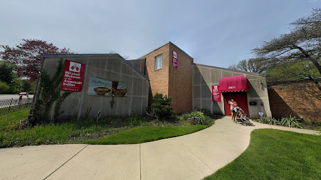
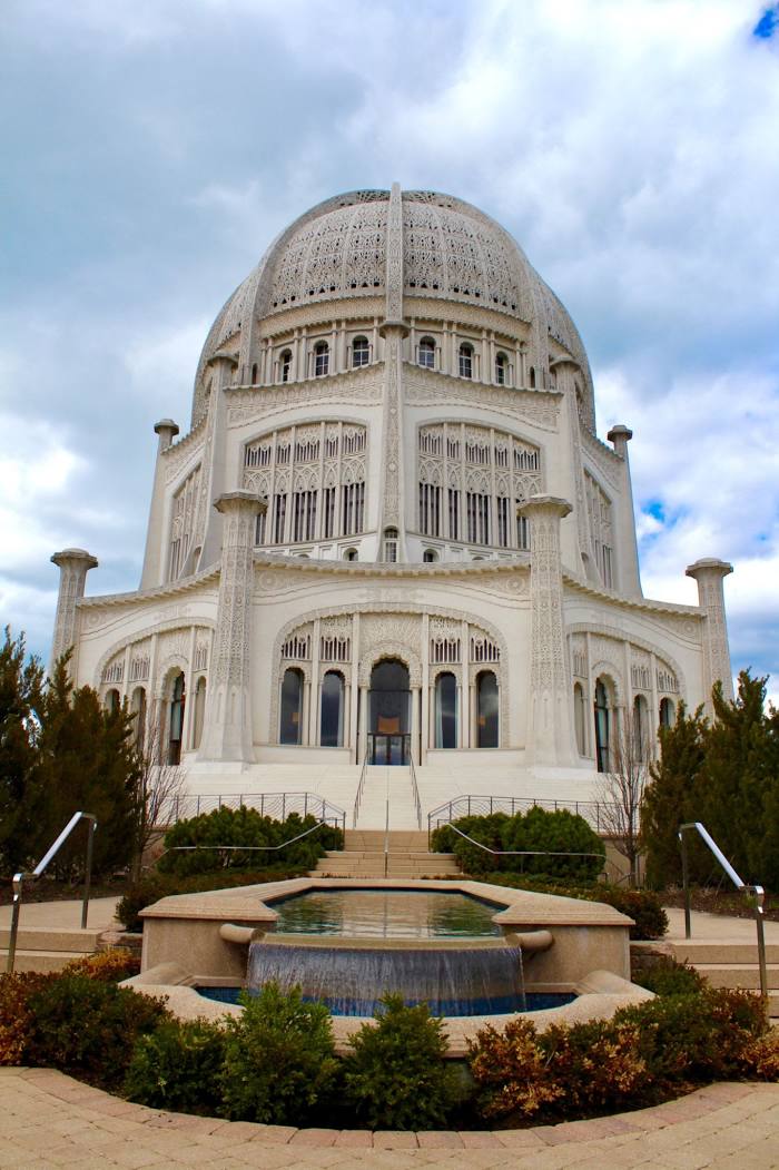
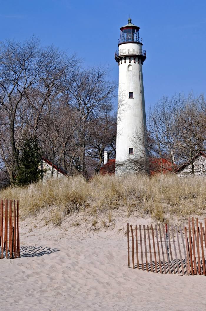
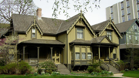
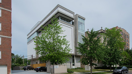
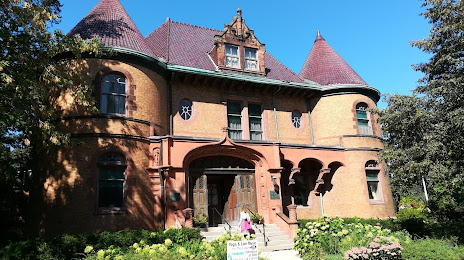
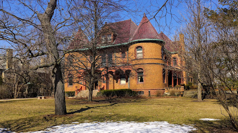
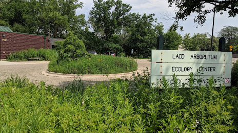
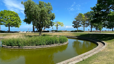
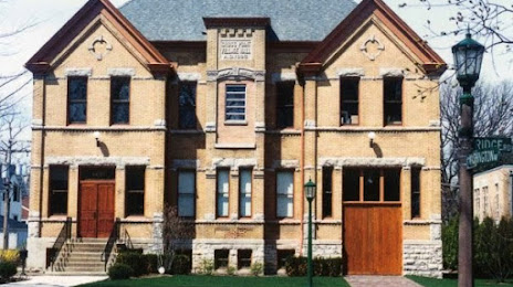
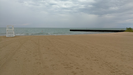
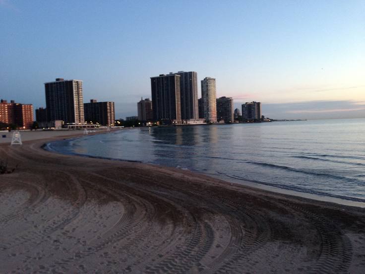
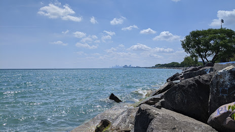
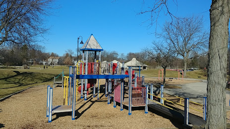
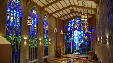
Attractions


Distance to the capital
Distance to the capital (Washington) is about — 966 km.