 Marlborough
Waco
Gilbert
Wimberley
Poulsbo
Mabton
Wagoner
Afton
Mountlake Terrace
Fishkill
Owasso
Boyne City
Evanston
Roxbury Township
Waukegan
Gurnee
Glenview
Tuxedo Park
Paradise Valley
Marlborough
Waco
Gilbert
Wimberley
Poulsbo
Mabton
Wagoner
Afton
Mountlake Terrace
Fishkill
Owasso
Boyne City
Evanston
Roxbury Township
Waukegan
Gurnee
Glenview
Tuxedo Park
Paradise Valley
Cadillac on the map, United States
Where is located Cadillac
Exact location — Cadillac, Wexford County, Michigan, United States, marked on the map with a red marker.
Coordinates
Cadillac, United States coordinates in decimal format: latitude — 44.2519526, longitude — -85.4011619. When converted to degrees, minutes, seconds Cadillac has the following coordinates: 44°15′7.03 north latitude and -85°24′4.18 east longitude.
Population
Cadillac, Wexford County, Michigan, United States, according to our data the population is — 10,258 residents, which is about 0% of the total population of the country (United States).
Comparison of the population on the graph:
Exact time
Time zone for this location Cadillac — UTC -4 America/New_York. Exact time — saturday, 4 april 2024 year, 06 h. 23 minutes.
Sunrise and sunset
Cadillac, sunrise and sunset data for a date — saturday 20.04.2024.
| Sunrise | Sunset | Day (duration) |
|---|---|---|
| 06:51 -2 minutes | 20:29 +2 minutes | 13 h. 36 minutes. +4 minutes |
You can control the scale of the map using the auxiliary tools to find out exactly where it is located Cadillac. When you change the scale of the map, the width of the ruler also changes (in kilometers and miles).
Nearby cities
The largest cities that are located nearby:
- Grand Rapids — 144 km
- Lansing — 181 km
- Flint — 195 km
- Green Bay — 209 km
- Milwaukee — 243 km
- Ann Arbor — 257 km
- Sterling Heights — 267 km
- Warren — 273 km
- Detroit — 287 km
- Windsor
 (Canada) — 289 km
 - South Bend — 293 km
- Chicago — 320 km
- Toledo — 324 km
- Madison — 348 km
- Fort Wayne — 351 km
- Naperville — 358 km
- London (Canada) — 364 km
- Aurora — 366 km
- Rockford — 373 km
Distance to neighboring capitals:
- Ottawa (Canada) — 776 km
- Belmopan
 (Belize) — 3020 km
 - Mexico City
 (Mexico) — 3040 km
 - Nuuk
 (Greenland) — 3047 km
 - Guatemala City
 (Guatemala) — 3332 km
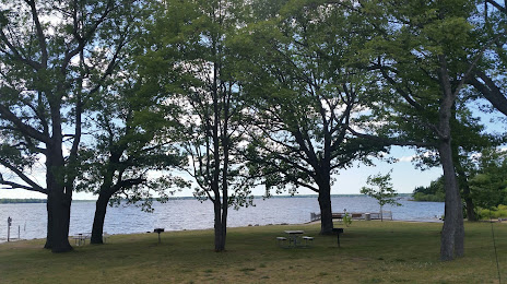
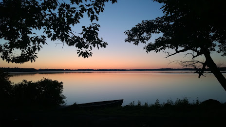
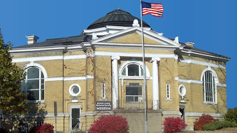
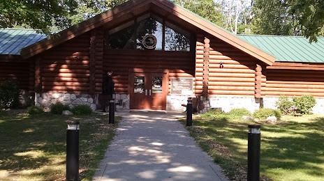
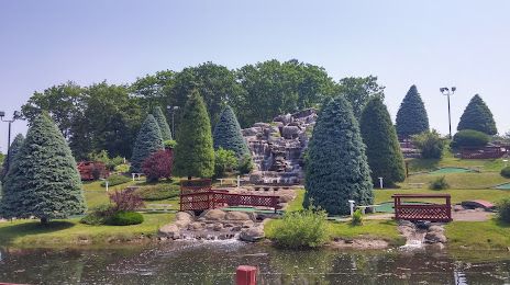
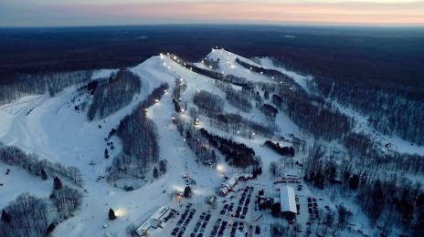
Attractions


Distance to the capital
Distance to the capital (Washington) is about — 914 km.