 Wagoner
Afton
Mountlake Terrace
Arlington
Midland
Pewaukee
Bothell
Hoquiam
Chehalis
Elmsford
Katonah
North Chicago
Newkirk
Vicksburg
Lena
Fishkill
Owasso
Boyne City
Evanston
Wagoner
Afton
Mountlake Terrace
Arlington
Midland
Pewaukee
Bothell
Hoquiam
Chehalis
Elmsford
Katonah
North Chicago
Newkirk
Vicksburg
Lena
Fishkill
Owasso
Boyne City
Evanston
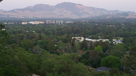
Walnut Creek on the map, United States
Where is located Walnut Creek
Exact location — Walnut Creek, Contra Costa County, California, United States, marked on the map with a red marker.
Coordinates
Walnut Creek, United States coordinates in decimal format: latitude — 37.9100783, longitude — -122.0651819. When converted to degrees, minutes, seconds Walnut Creek has the following coordinates: 37°54′36.28 north latitude and -122°3′54.65 east longitude.
Population
Walnut Creek, Contra Costa County, California, United States, according to our data the population is — 65,179 residents, which is about 0% of the total population of the country (United States).
Comparison of the population on the graph:
Exact time
Time zone for this location Walnut Creek — UTC -7 America/Los_Angeles. Exact time — tuesday, 4 april 2024 year, 23 h. 56 minutes.
Sunrise and sunset
Walnut Creek, sunrise and sunset data for a date — tuesday 23.04.2024.
| Sunrise | Sunset | Day (duration) |
|---|---|---|
| 06:23 -2 minutes | 19:48 -0 minutes | 13 h. 24 minutes. +2 minutes |
You can control the scale of the map using the auxiliary tools to find out exactly where it is located Walnut Creek. When you change the scale of the map, the width of the ruler also changes (in kilometers and miles).
Nearby cities
The largest cities that are located nearby:
- Concord — 8 km
- Berkeley — 19 km
- Oakland — 21 km
- Richmond — 25 km
- Hayward — 27 km
- Vallejo — 27 km
- San Francisco — 34 km
- Fairfield — 38 km
- Fremont — 41 km
- Sunnyvale — 60 km
- Santa Clara — 62 km
- San Jose — 65 km
- Stockton — 68 km
- Santa Rosa — 81 km
- Sacramento — 89 km
- Modesto — 98 km
- Roseville — 115 km
- Salinas — 141 km
- Fresno — 240 km
Distance to neighboring capitals:
- Mexico City
 (Mexico) — 3022 km
 - Ottawa
 (Canada) — 3886 km
 - Belmopan
 (Belize) — 3972 km
 - Guatemala City
 (Guatemala) — 4039 km
 - Nuuk
 (Greenland) — 5342 km
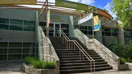
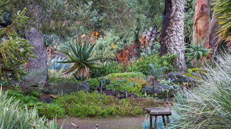
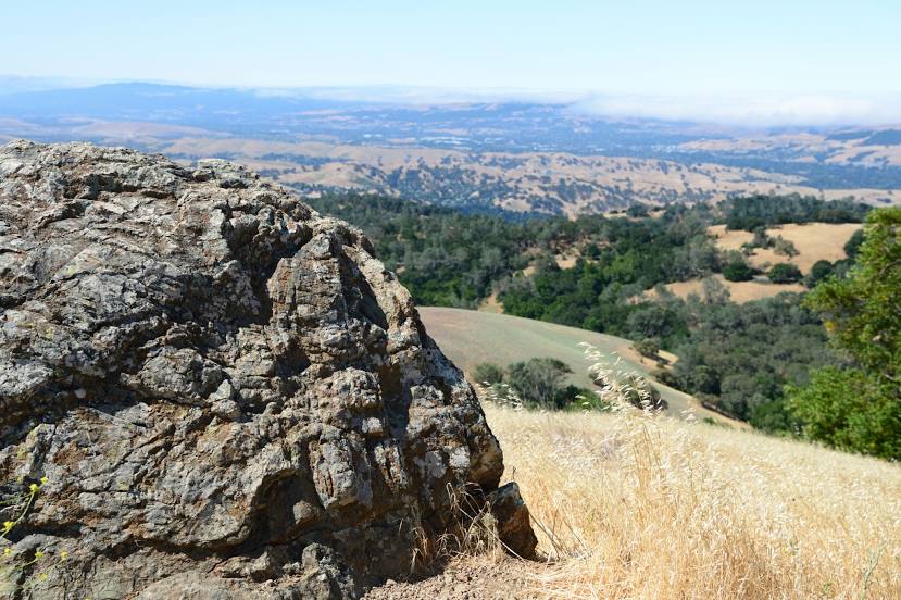
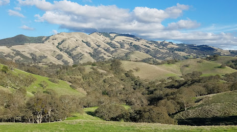
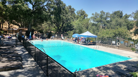
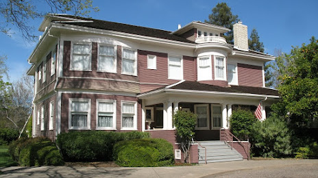
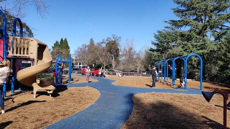
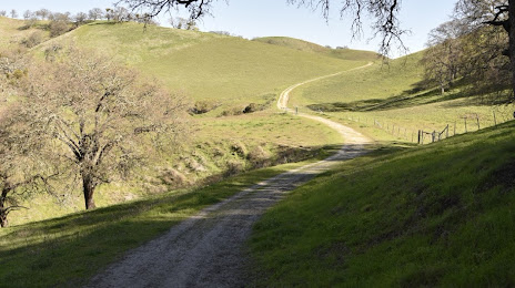
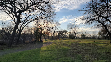
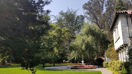
Attractions


Distance to the capital
Distance to the capital (Washington) is about — 3886 km.